
Hello Friends,
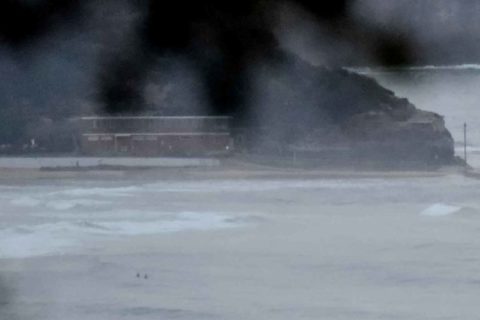
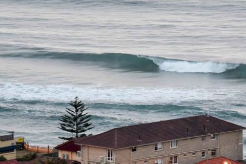
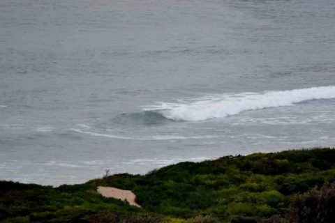
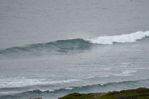
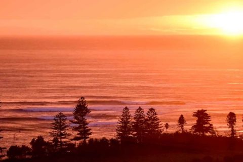
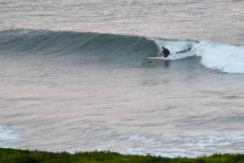
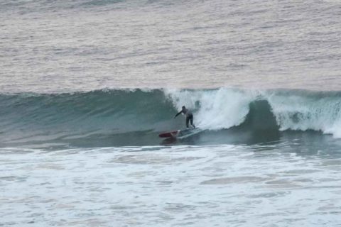
Light rain was sifting down in the hours before sunrise. Wind was lightly from the NW and the MHL buoy was showing 1.3 metres of SSE at around 11 seconds apart – so dialled down a bit from yesterday’s levels. Tide was heading into the high at 0645.
Outlook is for wave energy to stay small for today and tomorrow but to ramp on Monday enough for the Bureau to be warning of large and powerful surf conditions as south and NE swells combine. The interesting thing is that this morning’s run of the models doesn’t show great consistency on this point, with some falling in line with the Bureau’s call and others saying it’ll be close to flat… I’d go with the Bureau as they have a much better idea of how lows behave locally than I should imagine could be factored into global models. So, expect a stormy Monday with the potential for more mayhem at Collaroy Narrabeen on the high tides.
…
.
.
.
.
.
.
.
.
Weather Situation
A slow moving high pressure system over the Tasman Sea extends a weakening ridge to the northeast of the state as a trough approaches from the west. North to northwest winds will shift southerly along the southern half of the coast today as the trough moves through. On Sunday, a low pressure system is expected to develop within the trough, most likely near central parts of the coast, then track southwards before moving away from the New South Wales coast during Monday. Winds are generally expected to strength over New South Wales waters as the low develops, but there is still uncertainty about the exact timing, location and movement of the low.
Forecast for Saturday until midnight
Winds
North to northwesterly 10 to 15 knots, reaching up to 20 knots offshore early in the morning. Tending south to southwesterly in the evening.
Seas
1 to 1.5 metres, decreasing to 1 metre during the morning.
Swell
Easterly around 1 metre.
Weather
Cloudy. 80% chance of rain. The chance of a thunderstorm from late this morning.
Sunday 19 June
Winds
South to southwesterly 10 to 15 knots becoming variable about 10 knots in the morning.
Seas
Below 1 metre.
1st Swell
South to southeasterly below 1 metre, increasing to 1 to 1.5 metres around midday.
2nd Swell
Easterly below 1 metre, increasing to 1 to 1.5 metres offshore.
Weather
Cloudy. 95% chance of rain.
Monday 20 June
Winds
West to northwesterly 15 to 25 knots turning southwesterly 25 to 35 knots during the afternoon.
Seas
Around 1 metre, increasing to 2 to 4 metres during the morning.
1st Swell
Southerly below 1 metre, increasing to 2 to 3 metres during the morning.
2nd Swell
Northeasterly 1.5 to 2.5 metres, decreasing to 1 to 1.5 metres during the afternoon.
Weather
Cloudy. 80% chance of showers.
Caution
Large and powerful surf conditions in the afternoon and evening are expected to be hazardous for coastal activities such as crossing bars by boat and rock fishing.

