
Hello Friends,
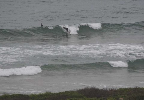
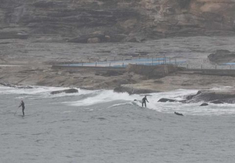
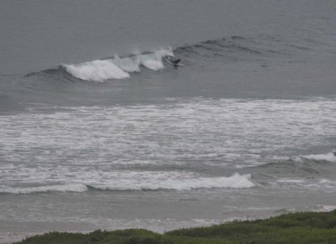
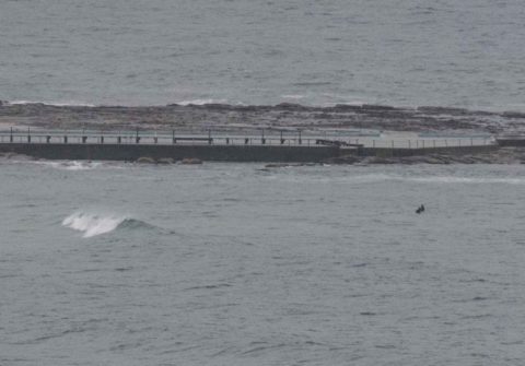
Drizzly grey skies and light SW winds plus a weak and tiny 8-sec SSE wind swell added up to not much of anything for surfers between Narrabeen and Dee Why. Tide was low at 0745. A good morning to look at other activities.
Wind should stay SW all day and the Bureau tells us that wet stuff should ease off later.
The tiny NE bump dominating this morning is predicted to be replaced by a small southerly pulse this afternoon. Unfortunately at this stage it doesn’t look as though the surf will improve too much today.
Tomorrow the south swell should come up pretty dramatically and be into the 3-4 metre range by late. The problem is that it’ll be accompanied by 20-30 kts of southerly wind, so surf options will be limited.
For close to a week now the models have been showing interesting prospects for Monday into Tuesday morning as the south swell matures into the 11-13 second range and the offshores return under sunny skies…
Have a top old Saturday!
Weather Situation
A low pressure system over the southwestern Tasman Sea is slowly moving southeast while an associated cold front moves north along the New South Wales coast. The cold front is expected to reach central parts of the coast early Saturday morning, and northern parts of the coast Saturday afternoon and evening, bringing a strong to gale force southerly change. Following the front, a high pressure system will move across southeast Australia from Sunday, with winds easing along the coast at the start of the new week as a result.
Forecast for Saturday until midnight
Strong Wind Warning for Saturday for Sydney Coast
Winds
North to northwesterly 20 to 30 knots shifting south to southwesterly 15 to 25 knots during the morning then becoming southwesterly 20 to 30 knots in the evening.
Seas
2 to 3 metres, decreasing to 1.5 to 2 metres during the afternoon.
1st Swell
Northeasterly 1.5 to 2.5 metres, decreasing to 1 to 1.5 metres by early evening.
2nd Swell
Southerly below 0.5 metres, increasing to 1 to 1.5 metres around midday.
Weather
Cloudy. 90% chance of rain. The chance of a thunderstorm in the morning and early afternoon.
Sunday 23 October
Gale Warning for Sunday for Sydney Coast
Winds
Southwesterly 20 to 30 knots, shifting southerly 25 to 35 knots early in the morning then easing to 20 to 30 knots during the afternoon and evening.
Seas
1.5 to 2 metres, increasing to 2.5 to 3 metres during the morning.
1st Swell
Southerly 1 to 1.5 metres, increasing to 2 to 3 metres during the morning, then increasing to 3 to 4 metres by early evening.
2nd Swell
Northeasterly 1 to 1.5 metres, decreasing below 0.5 metres during the afternoon.
Weather
Partly cloudy. 50% chance of showers.
Caution
Large and powerful surf conditions are expected to be hazardous for coastal activities such as crossing bars by boat and rock fishing.
Monday 24 October
Winds
Southwesterly 20 to 30 knots decreasing to 15 to 20 knots during the morning then turning southerly 10 to 15 knots during the afternoon.
Seas
2 to 3 metres, decreasing to 1 to 1.5 metres during the morning.
Swell
Southerly 3 to 4 metres.
Weather
Mostly sunny. 20% chance of a shower.

