Hello Friends,
10-15 kts of southerly with overcast skies as Sunday kicked off. Swell’s kicked back up after weakening yesterday afternoon and as of 0600 the MHL buoy was showing 2.8 metres of 10-sec SSE swell. Tide was high at 0745 and is heading to the low at 1410.
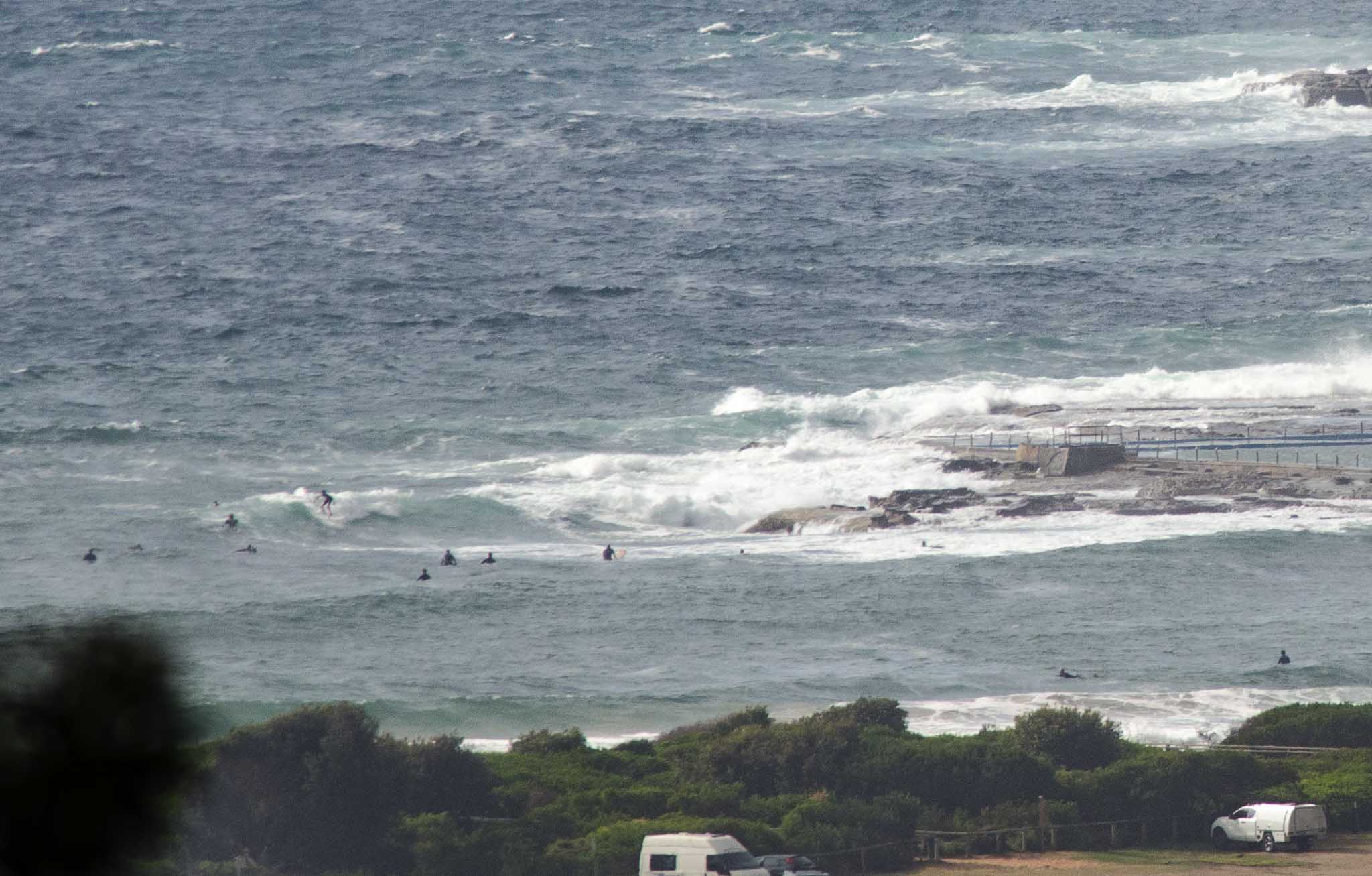
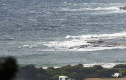
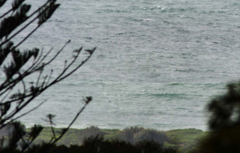
As the pictures show, at 0830 Dee Why was scrappy and in the waist to chest range at the point. Didn’t see anything of interest at the beach but there were people just up from Kiddies so presumably there’s something to chase.
The Bureau’s hoisted the ‘deceptively powerful surf conditions’ pennant, but I’d say anywhere big will also be blown out. Outlook is for the SE’r to swing east in the afternoon – blerggh.
Tomorrow’s supposed to be onshore again and the swell’s due to gradually fade – although the Bureau still has a surf warning for the morning.
Looking ahead it seems that we’re in for a so-so week. Right now I reckon Wednesday morning is most hopeful. If it works out we might see sunny, light offshores and knee to waist plus a SE magnets.
Have yourself a top old Sunday everyone!
Weather Situation
A high pressure system south of the Bight is moving east extending a ride to the northern Tasman Sea and directing northeasterly winds along the New South Wales coast. Southeasterly winds are expected along the southern half of the coast this morning as a low pressure trough crosses the coast. Winds will then turn back to the northeast ahead of the next trough which will bring a southerly change to most of the coast on Monday and Tuesday.
Forecast for Sunday until midnight
Winds
Southeasterly 10 to 15 knots turning easterly in the early afternoon.
Seas
Around 1 metre.
1st Swell
Southerly 1.5 to 2.5 metres.
2nd Swell
Northeasterly around 1 metre.
Weather
Cloudy. 20% chance of a shower. The chance of a thunderstorm offshore this morning.
Caution
Deceptively powerful surf conditions are expected to be hazardous for coastal activities such as crossing bars by boat and rock fishing.
Monday 28 November
Winds
Easterly 10 to 15 knots turning north to northeasterly 15 to 20 knots during the morning.
Seas
Around 1 metre, increasing to 1.5 metres by early evening.
Swell
Southerly 1.5 to 2.5 metres, decreasing to 1.5 metres by early evening.
Weather
Partly cloudy. 30% chance of a shower. The chance of a thunderstorm.
Caution
Deceptively powerful surf conditions are expected to be hazardous for coastal activities such as crossing bars by boat and rock fishing.
Tuesday 29 November
Winds
Northerly 15 to 20 knots tending south to southwesterly during the morning then tending southeasterly during the afternoon.
Seas
1 to 1.5 metres, increasing to 1 to 2 metres inshore during the morning.
1st Swell
Southerly 1 to 1.5 metres.
2nd Swell
Northeasterly around 1 metre, increasing to 1 to 1.5 metres offshore.
Weather
Partly cloudy. The chance of a thunderstorm in the afternoon.


