Hello Friends,
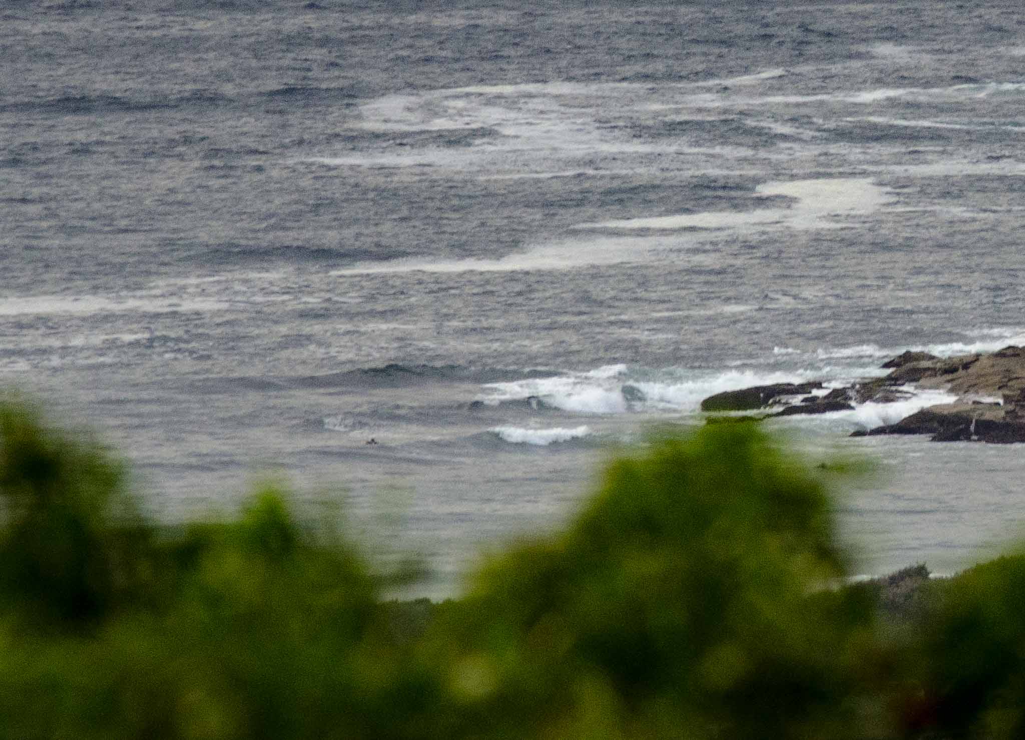
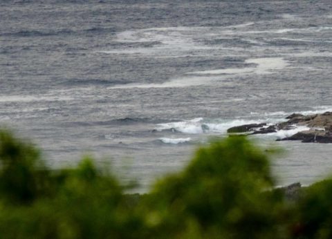
Out at sea it’s around 2 metres from the SSE at 8 seconds apart. Inshore at Dee Why, just after the 0600 low tide, it looked to be knee to maybe the odd waist high at the point and beach. Skies were largely overcast. Wind was light SSW but is set to be 20-25 kts southerly out at sea before long – and then SE later.
Swell energy’s set to fade a little as the day goes along, so getting in early while there’s a tidal push and the wind’s not into it yet is definitely the plan.
Have a great day one and all!
Weather Situation
A high south of the Bight extends a ridge of high pressure through Bass Strait and along the New South Wales coast. The high is expected to move east, reaching the southern Tasman Sea by Wednesday where it will remain through to the weekend. This pattern will maintain a southeast to northeasterly airstream along the coast.
Forecast for Tuesday until midnight
Winds
Southerly 20 to 25 knots turning southeasterly 15 to 20 knots in the early afternoon.
Seas
1.5 to 2 metres, decreasing to 1.5 metres during the afternoon.
Swell
Southerly 1.5 to 2 metres, decreasing to 1.5 metres during the afternoon.
Weather
Partly cloudy. 60% chance of showers.
Wednesday 4 January
Winds
Southeasterly 10 to 15 knots turning easterly in the evening.
Seas
1 to 1.5 metres, decreasing below 1 metre during the morning.
Swell
Southerly 1.5 metres, tending southeasterly 1.5 metres around midday.
Weather
Partly cloudy. 60% chance of showers.
Thursday 5 January
Winds
East to northeasterly 10 to 15 knots.
Seas
Around 1 metre.
Swell
Southeasterly 1.5 metres, tending easterly during the afternoon.
Weather
Partly cloudy. 60% chance of showers.
Please be aware
Wind gusts can be 40 percent stronger than the averages given here, and maximum waves may be up to twice the height.
Nearby Coastal Waters


