Hello Friends,
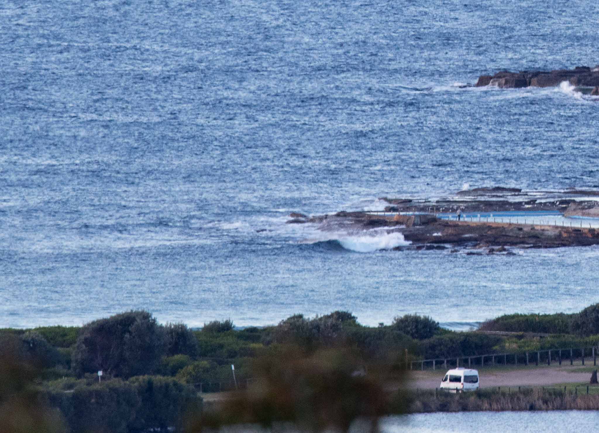
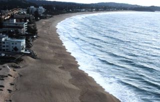
No surfing for Dee Why or Collaroy-Narrabeen this morning. Basically there’s just a metre of 5-6 sec period east wind bump and that’s all.
A low is expected to form off to the SE of us in the next 24 hours, so swell should go around to the south and gradually pick up tomorrow. By Wednesday we should have fun size waves again.
In the meantime, clear the schedule, get things done because it looks like potentially fun little waves for the back half of the week…

Forecast issued at 4:10 am EST on Monday 7 August 2017.
Weather Situation
A strong cold front is crossing New South Wales today, bringing fresh to strong winds in most coastal areas. Following this, a high will strengthen over southeast Australia, bringing an easing of winds during the middle part of the week.
Forecast for Monday until midnight
Strong Wind Warning for Monday for Sydney Coast
Winds
North to northwesterly 15 to 25 knots, tending west to northwesterly 20 to 25 knots during the morning, reaching up to 30 knots offshore.
Seas
1 to 1.5 metres, increasing to 2 to 3 metres offshore.
Swell
East to northeasterly below 1 metre.
Weather
Mostly sunny. 50% chance of showers offshore, and the chance of a thunderstorm offshore this evening.
Tuesday 8 August
Strong Wind Warning for Tuesday for Sydney Coast
Winds
Westerly 20 to 30 knots turning southwesterly 15 to 20 knots during the day.
Seas
2 to 3 metres, decreasing to 1.5 to 2 metres around midday.
Swell
Southerly below 1 metre, increasing to 1 to 2 metres during the morning.
Weather
Mostly sunny. 20% chance of a shower offshore, near zero chance elsewhere.
Wednesday 9 August
Winds
West to southwesterly 15 to 20 knots becoming variable about 10 knots during the afternoon.
Seas
1 to 1.5 metres, decreasing below 1 metre during the afternoon or evening.
Swell
Southerly 1.5 to 2.5 metres.
Weather
Sunny.


