Hello Friends,
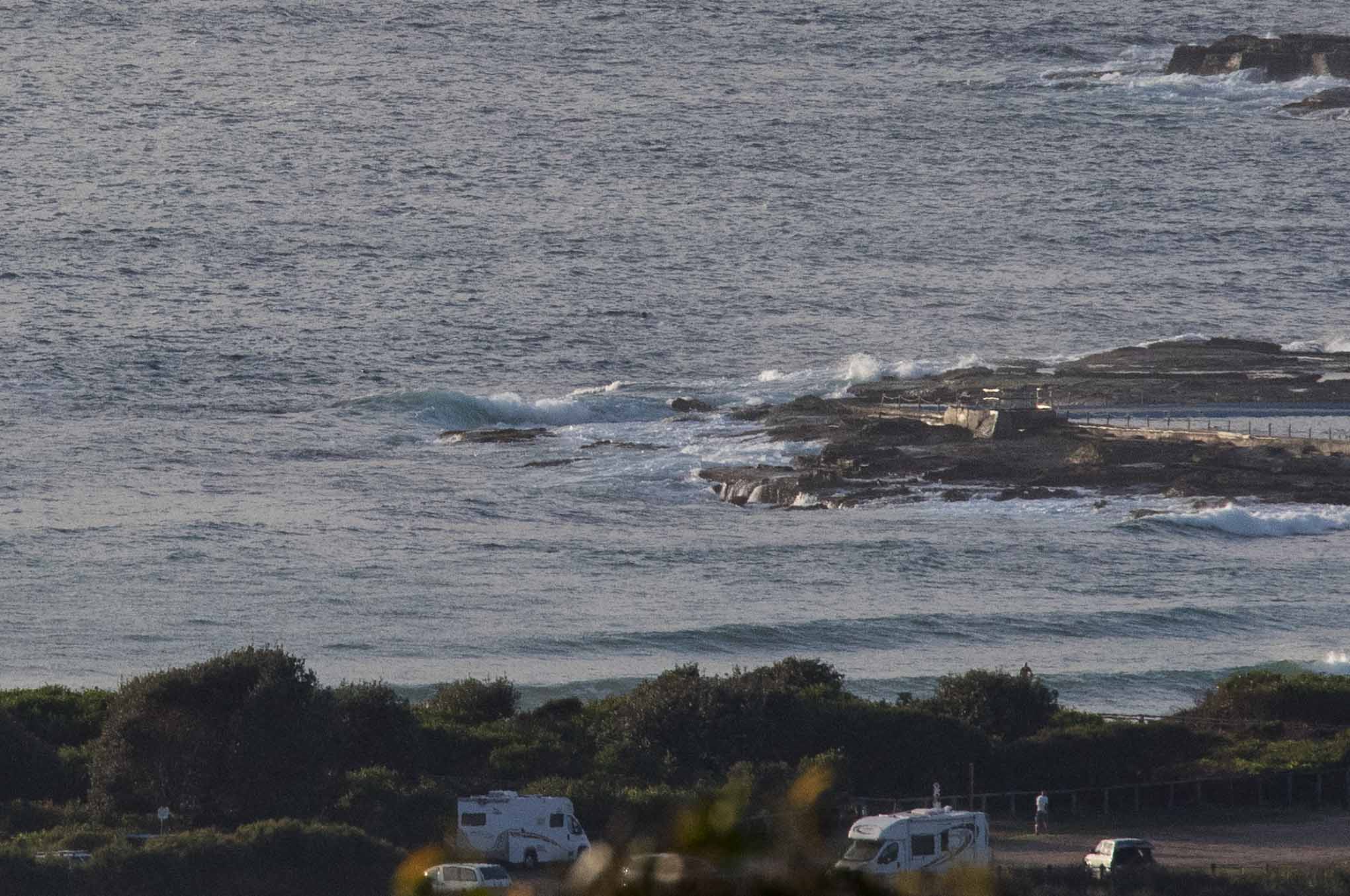
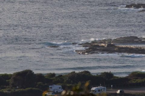
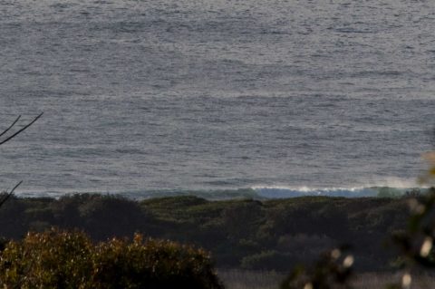
You’d need to have been really keen this morning at Dee Why. Wind was 6-7 kts from the ESE before 0700. It should stay at about that intensity all day. Swell at sea was around the 1.2 metre mark and coming from the east by ESE at 9 seconds. From what I could see, waves were in the knee to maybe waist high range along the beach. Tide was a 1.4 m high at 0525 and is now dropping to a 0.6 m low at 1120. It should get to around 23 today and beachwatch is calling the water 21.
Prospects for the rest of the week remain ordinary at best according to the models. If they have it right, we’re looking at a gradual cogging down to flatness by midweek. The more hopeful predictions are showing a slight uptick around Saturday and a gradual build toward chest to shoulder high early next week. Could be better, but then again, it is the season of mainly small and junky surf.
Have a great Monday everyone!
Weather Situation
A high pressure system over the southwestern Tasman Sea with a ridge to the north is very slowly moving east directing southeast to northeasterly winds along the New South Wales coast.
Forecast for Monday until midnight
- Winds
- East to southeasterly about 10 knots.
- Seas
- Below 1 metre.
- Swell
- Southerly below 1 metre.
- Weather
- Partly cloudy.
Tuesday 14 November
- Winds
- East to southeasterly below 10 knots tending east to northeasterly 10 to 15 knots in the middle of the day then decreasing to about 10 knots in the late evening.
- Seas
- Below 1 metre.
- Swell
- Easterly below 1 metre.
- Weather
- Partly cloudy.
Wednesday 15 November
- Winds
- Northeasterly about 10 knots increasing to 15 to 20 knots during the day.
- Seas
- Around 1 metre.
- Swell
- Southeasterly below 1 metre.
- Weather
- Mostly sunny.


