Hello Friends,
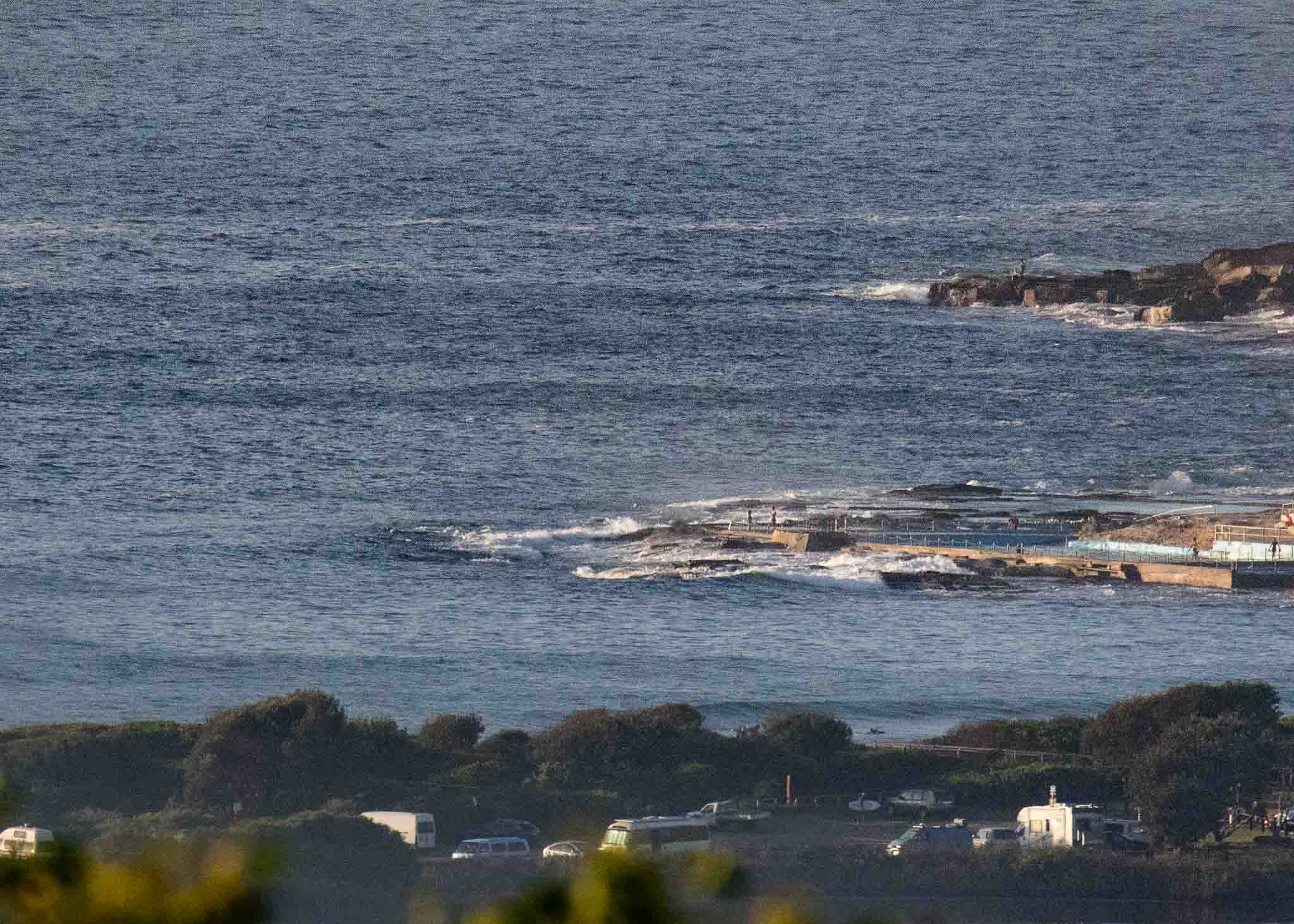
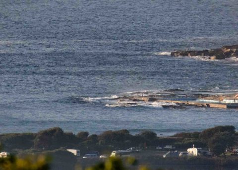
Good Friday sees it very small at Dee Why. It’s a beautiful morning though and there are little waves where the combo south and north swells are synthesizing into knee to waist high bumps. But looking at the cams, it is very crowded wherever there’s anything remotely catchable. Dee Why’s not on the list at the moment, but maybe the 0820 1.83 m tide running out to the 1445 low will see an improvement – before the southerly starts filling in later.
The MHL buoy at 0500 was seeing 1.2 m of 10.5 sec swell mainly from 168 degrees, but with some 30 degree component mixing in as well.
As for the outlook, The Goat posted his weekend and week ahead thoughts last night, so scroll down the page for the skinny.
Have a great day one and all!
Weather Situation
A high pressure system near New Zealand extends a ridge to northeastern New South Wales. This high will remain slow-moving for the next few days, while a series of cold fronts pass to the south. A trough and associated southerly change will move along the the southern half of the coast today, before dissipating over central parts on Saturday as the ridge returns to dominance.
Forecast for Friday until midnight
- Winds
- Northerly 10 to 15 knots becoming southerly 15 to 20 knots in the evening.
- Seas
- 1 to 1.5 metres.
- Swell
- Northeasterly 1.5 metres.
- Weather
- Mostly sunny.
Saturday 31 March
- Winds
- South to southeasterly 10 to 15 knots, reaching 20 knots in the morning, turning east to northeasterly in the afternoon.
- Seas
- 1 to 1.5 metres.
- 1st Swell
- Northeasterly 1 to 1.5 metres.
- 2nd Swell
- Southerly around 1 metre.
- Weather
- Cloudy.
Sunday 1 April
- Winds
- Northerly 15 to 20 knots.
- Seas
- Around 1 metre, increasing to 1 to 2 metres during the afternoon.
- Swell
- Easterly around 1 metre.
- Weather
- Mostly sunny.


