Hello Friends,
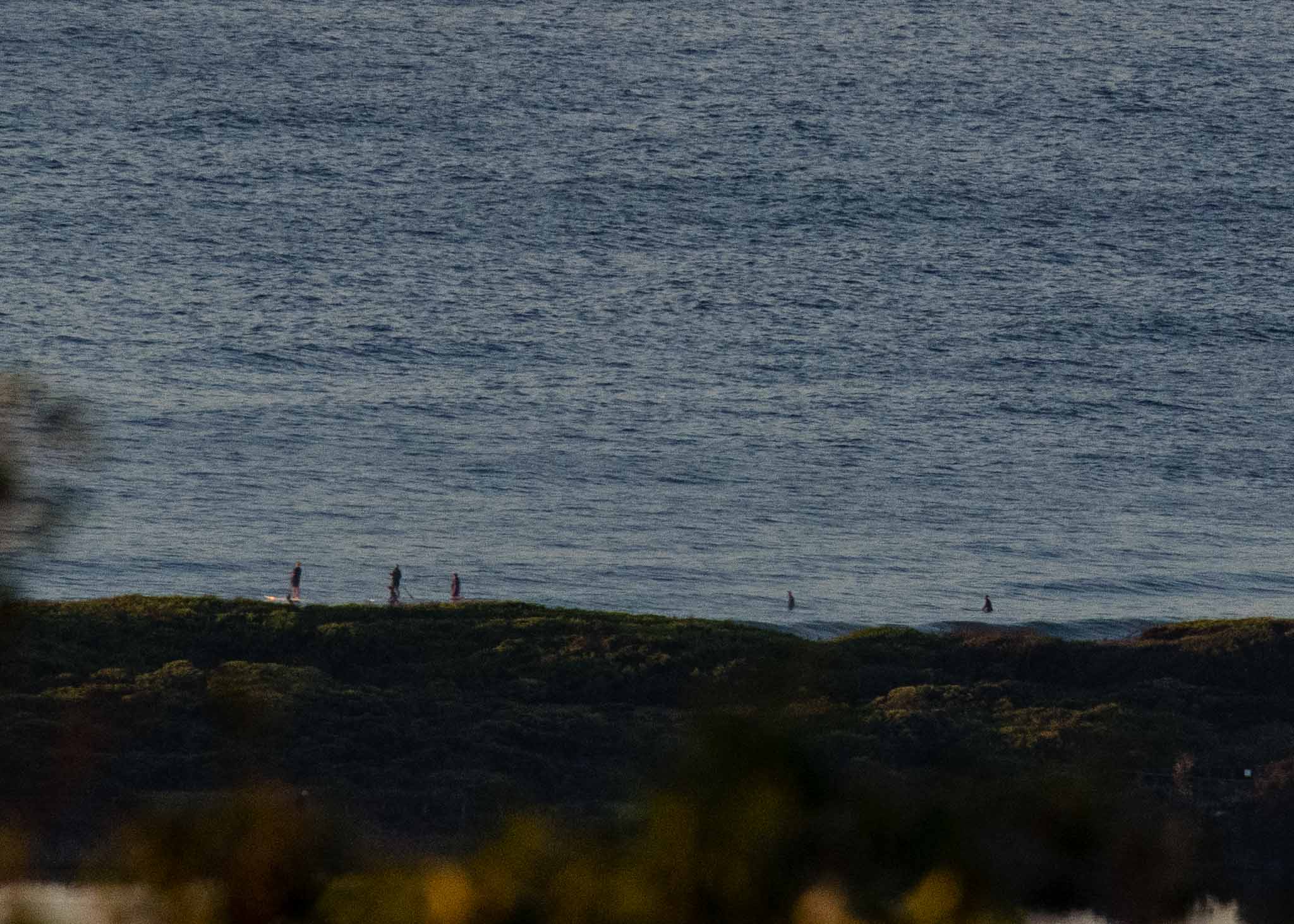
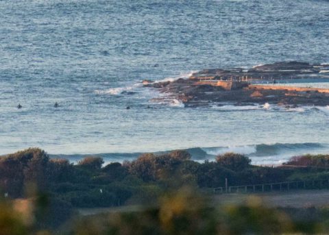
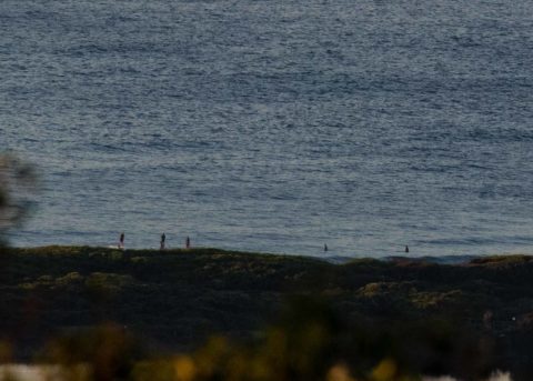
As of 0730 a light NW breeze was ruffling the sea under mostly clear skies. Swell has dropped another 30 cm since yesterday at this time and as of 0600 was a metre at 10 seconds from the SE. What that meant for Dee Why was long waits for maybe waist high bumps.
Tide was high at 0840 so it is now running out to the low at 1430
Surf prospects don’t look like improving today but from tomorrow the energy levels should start going up again as we head toward a significant south pulse from about Friday.
Have a great Tuesday!
Weather Situation
A front over the west of the state will continue to move east today, bringing a gusty southerly change to southern waters tonight. Gusty southerly winds will extend through central and northern areas on Wednesday. Behind this, a new high is expected to move across from the west during the latter part of the week, while a low deepens over the Tasman Sea, building a large southerly swell along the New South Wales coast.
Forecast for Tuesday until midnight
- Winds
- Northerly 15 to 20 knots.
- Seas
- 1 to 1.5 metres.
- Swell
- Southerly below 1 metre.
- Weather
- Mostly sunny.
Wednesday 30 May
Strong Wind Warning for Wednesday for Sydney Coast
- Winds
- North to northwesterly 15 to 20 knots shifting southwesterly 20 to 25 knots in the morning. Winds reaching up to 30 knots during the afternoon and evening.
- Seas
- 1 to 1.5 metres, increasing to 2 to 3 metres around midday.
- Swell
- Southeasterly below 1 metre, tending southerly 1 to 1.5 metres around midday, then increasing to 1.5 to 2.5 metres by early evening.
- Weather
- Cloudy. 80% chance of showers. The chance of a thunderstorm.
Thursday 31 May
- Winds
- Southwesterly 25 to 40 knots.
- Seas
- 2 to 3 metres, increasing to 3 to 4 metres during the afternoon or evening.
- Swell
- Southerly 2 to 3 metres, increasing to 3 to 5 metres during the evening.
- Weather
- Partly cloudy.


