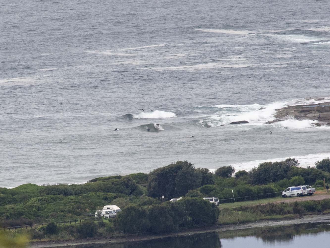
Update: rain backed off enough to take some piccies…
Hello Friends,
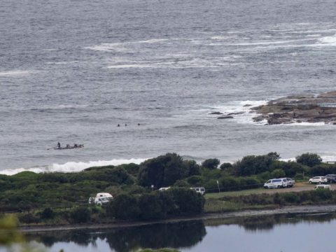
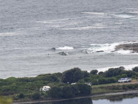
Too rainy to get a picture early, but it seems that there is some small wave potenital thanks to the swell coming up into the 2.5 m range from the east. Period was only 8 seconds though, which means wave faces at the better spots will likely be chest to shoulder plus on the sets.
Tide was a moderate 1.48 m high at 0455 and is currently dropping to a 0.6 m low at 1150. Wind early was coming from the WSW at 4-5 kts. The Bureau has a gale warning up for 20-30 kts of northerly soon, but that should go W-SW this afternoon as the skies clear.
I’m planning to keep an eye on it for later…
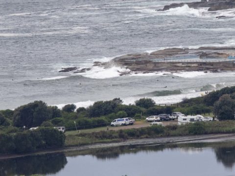
And speaking of later, tomorrow continues to look hopeful on the models. The Bureau says we can expect strong offshores, sunny skies and an increasing south swell during the morning. It also looks like we might have waves in the waist plus range give or take right through the week, albeit with showers off and on across much of the period.
Have a great Saturday!

Weather Situation
A vigorous cold front is bringing a gusty west to southwesterly change to southern New South Wales waters this morning, continuing through to the far north this afternoon and evening. Behind this, a high pressure system will extend a ridge across the state from the west, maintaining southeast to southwesterly winds through Sunday and Monday. By Tuesday the high is forecast to be over the Tasman Sea, with the next change expected mid-week.
Forecast for Saturday until midnight
Gale Warning for Saturday for Sydney Coast
- Winds
- Northerly 20 to 30 knots turning west to southwesterly in the afternoon, reaching 35 knots offshore.
- Seas
- 2 to 3 metres, reaching 4 metres offshore in the afternoon.
- 1st Swell
- Easterly below 1 metre, tending northeasterly 1 to 2 metres during the day.
- 2nd Swell
- Southerly around 1 metre.
- Weather
- Partly cloudy. 90% chance of rain. A thunderstorm likely, mainly morning.
Sunday 31 March
Strong Wind Warning for Sunday for Sydney Coast
- Winds
- West to southwesterly 15 to 25 knots, reaching 30 knots offshore in the morning, tending south to southwesterly 10 to 15 knots in the afternoon.
- Seas
- 2 to 3 metres, decreasing to 1 metre during the afternoon.
- 1st Swell
- Southerly 1 to 1.5 metres, increasing to 1.5 to 2.5 metres during the morning.
- 2nd Swell
- Northeasterly 1 to 1.5 metres, tending easterly below 1 metre by evening.
- Weather
- Sunny.
Monday 1 April
- Winds
- South to southwesterly 10 to 15 knots turning southeasterly during the day.
- Seas
- Below 1 metre.
- Swell
- Southerly 2 to 2.5 metres.
- Weather
- Partly cloudy. 50% chance of shower


