Hello Friends,
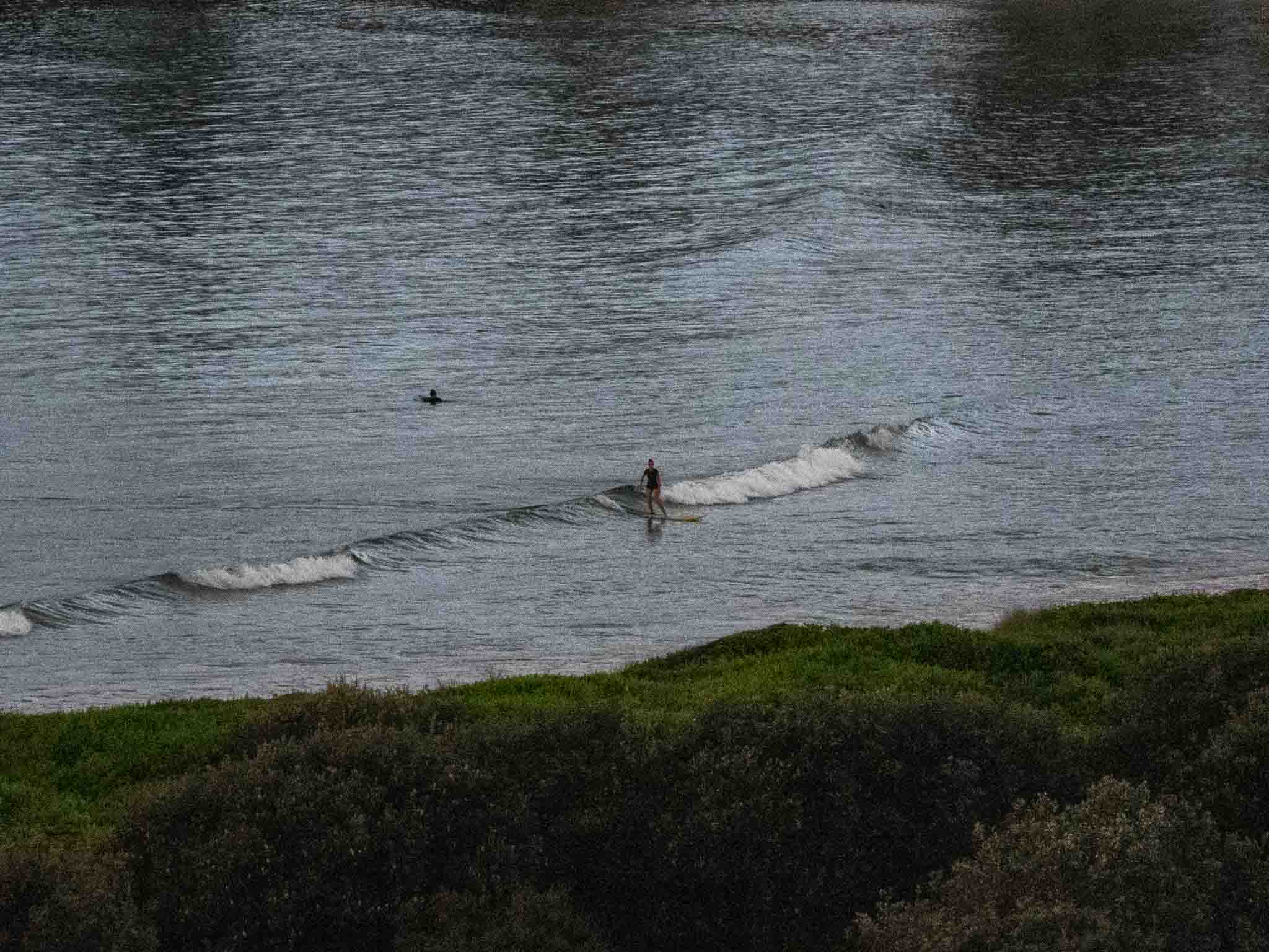
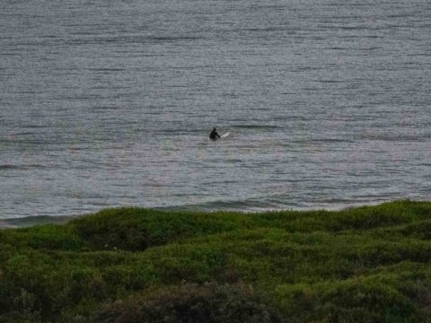
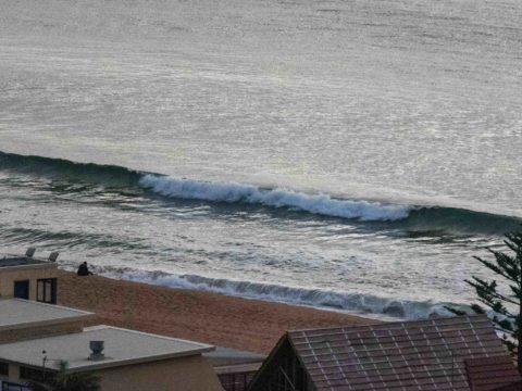
Up and about early for my report on ABC Radio Sydney this morning and I can reassure surfers that you’re missing nothing because there is nothing. Well, to be strictly accurate, I did get a picture of an ankle high wave being ridden at Kiddies, so if you have the right equipment, it is technically possibe to “surf”.
Wind is set to be 15-25 kts from the S-SW later. The MHL buoy was showing only 0.8 m of 6.5-sec NE wind bump as of 0500. Tide was coming in to a 1.57 m high at 0745 (it’s back to low at 1345) and ocean temperature was sitting on 21C according to Beachwatch’s Friday report. There’s a 50% chance of the odd light shower today. There’s nothing much showing in the MHL data from stations south of us, so I’m thinking no waves today.
The forecasts have been pretty erratic lately. As recently as a couple of days ago, they were showing a south pulse into the chest plus range by tomorrow. Now though the most pessimistic is predicting nothing much until Tuesday, and then it’s currently expected to only get into the knee to waist range at exposed spots. Happily the Bureau is saying we could indeed have a pulse from tomorrow (see below), so here’s hoping the BoM knows a bit more than the dour models.
Have yourself a top old Saturday one and all!

Weather Situation
A cold front is moving along central parts of the New South Wales coast this morning, and will continue northwards through the day, reaching the Queensland border in the evening. A vigorous south to southwesterly airstream behind this front will be bolstered during Sunday as a low pressure system develops over the central Tasman Sea and a high approaches from the west. Conditions should ease early in the new week as the low weakens and moves away, allowing the high to become briefly dominant. The next front is expected to cross southeast Australia mid-week, followed by another at the end of the week, both bringing periods of windy weather to most coastal areas.
Forecast for Saturday until midnight
- Winds
- South to southwesterly 15 to 25 knots.
- Seas
- 1 to 2 metres.
- Swell
- Northeasterly around 1 metre.
- Weather
- Partly cloudy. 80% chance of showers. The chance of a thunderstorm this afternoon and evening.
Sunday 5 May
Strong Wind Warning for Sunday for Sydney Coast
- Winds
- South to southwesterly 20 to 30 knots.
- Seas
- 2 to 3 metres.
- 1st Swell
- Southerly around 1 metre, increasing to 1 to 1.5 metres during the morning.
- 2nd Swell
- Northeasterly around 1 metre, tending easterly 1 to 1.5 metres during the morning.
- Weather
- Cloudy. 90% chance of showers. The chance of a thunderstorm.
Monday 6 May
- Winds
- Southwesterly 20 to 30 knots tending southerly 15 to 25 knots during the morning.
- Seas
- 2 to 3 metres.
- 1st Swell
- Southeasterly 1.5 to 2.5 metres.
- 2nd Swell
- Easterly around 1 metre.
- Weather
- Partly cloudy. 70% chance of showers. The chance of a thunderstorm in the morning.


