Hello Friends,
Well, looks pretty ordinary on the weather radar and cams this morning. According to the MHL data swell’s still around the 2 metre mark out at sea and coming from the E-ESE. But the average period is sub 10 seconds so you can expect messy and weak conditions which are made all the worse by 10-17 kts of SE wind. Eminently missable I would say.
The Goat should be along later today with a few thoughts on your prospects for the surf week ahead. From my reading of the runes, it could be Sunday before it switches back to great conditions again.
(postcards below Bureau’s bulletin…)
Weather Situation
A strengthening high pressure system near Tasmania will slowly move east over the next several days directing east to southeasterly winds across the New South Wales waters. On the weekend, winds will slowly turn northerly as the high pressure system settles over the Tasman Sea.
Forecast for Thursday until midnight
- Winds
- Southeasterly 15 to 20 knots turning easterly in the late afternoon.
- Seas
- 1 to 1.5 metres.
- 1st Swell
- Easterly 1.5 metres, increasing to 1.5 to 2 metres by early evening.
- 2nd Swell
- Southerly around 1 metre.
- Weather
- Partly cloudy. 70% chance of showers.
Friday 5 July
- Winds
- Easterly 15 to 20 knots.
- Seas
- 1 to 1.5 metres.
- Swell
- Easterly 1.5 to 2 metres.
- Weather
- Partly cloudy. 50% chance of showers.
Saturday 6 July
- Winds
- Easterly 15 to 20 knots turning northeasterly 10 to 15 knots during the morning.
- Seas
- 1 to 1.5 metres, decreasing below 1 metre during the morning.
- Swell
- Easterly 1.5 metres inshore, increasing to 1.5 to 2 metres offshore.
- Weather
- Partly cloudy. 50% chance of showers
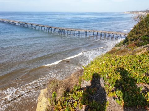
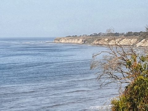
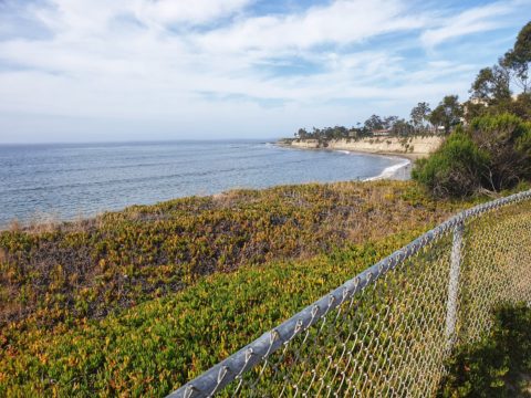
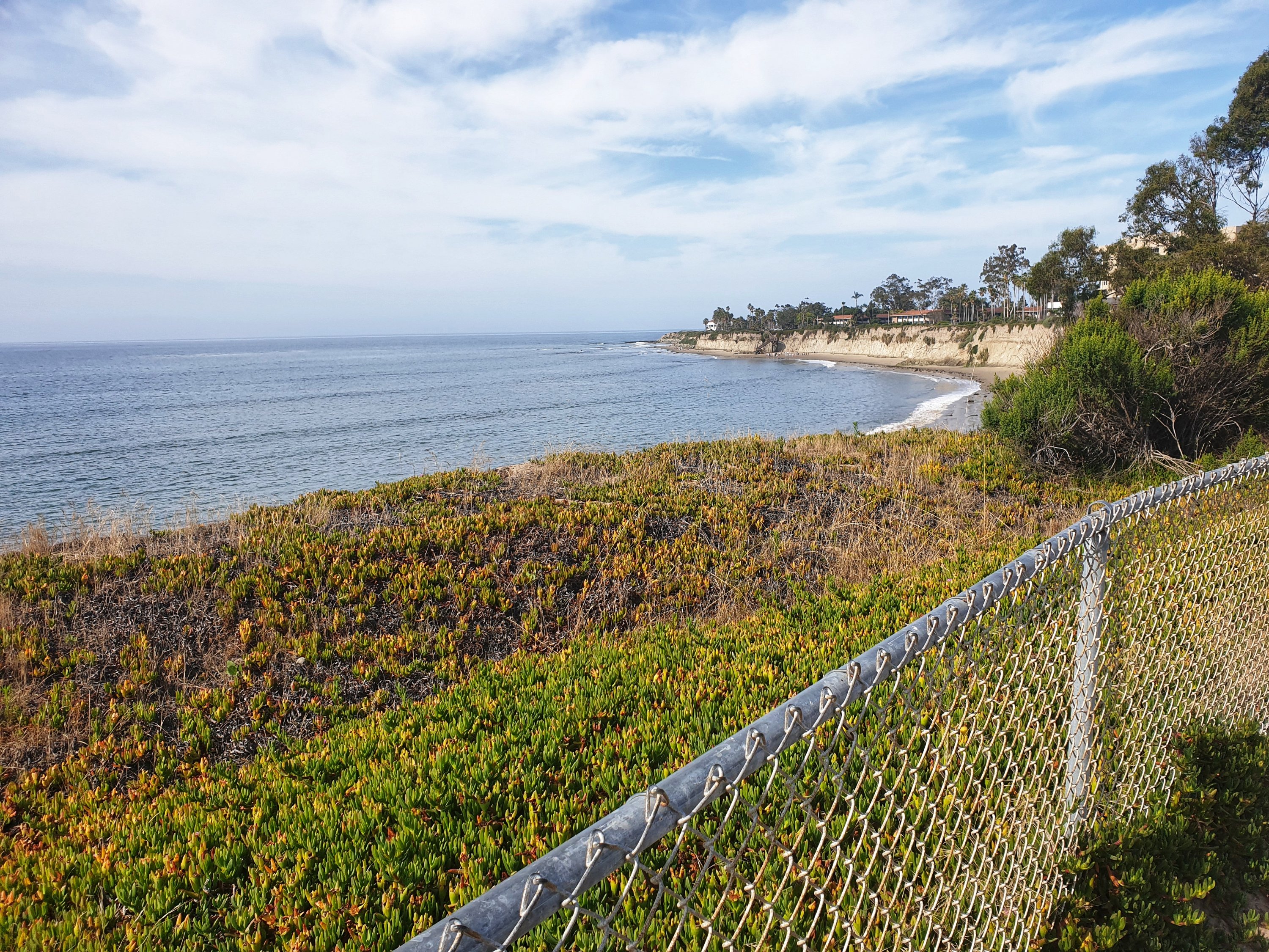
Not much swell in Santa Barbara today, but will go for a wander later…