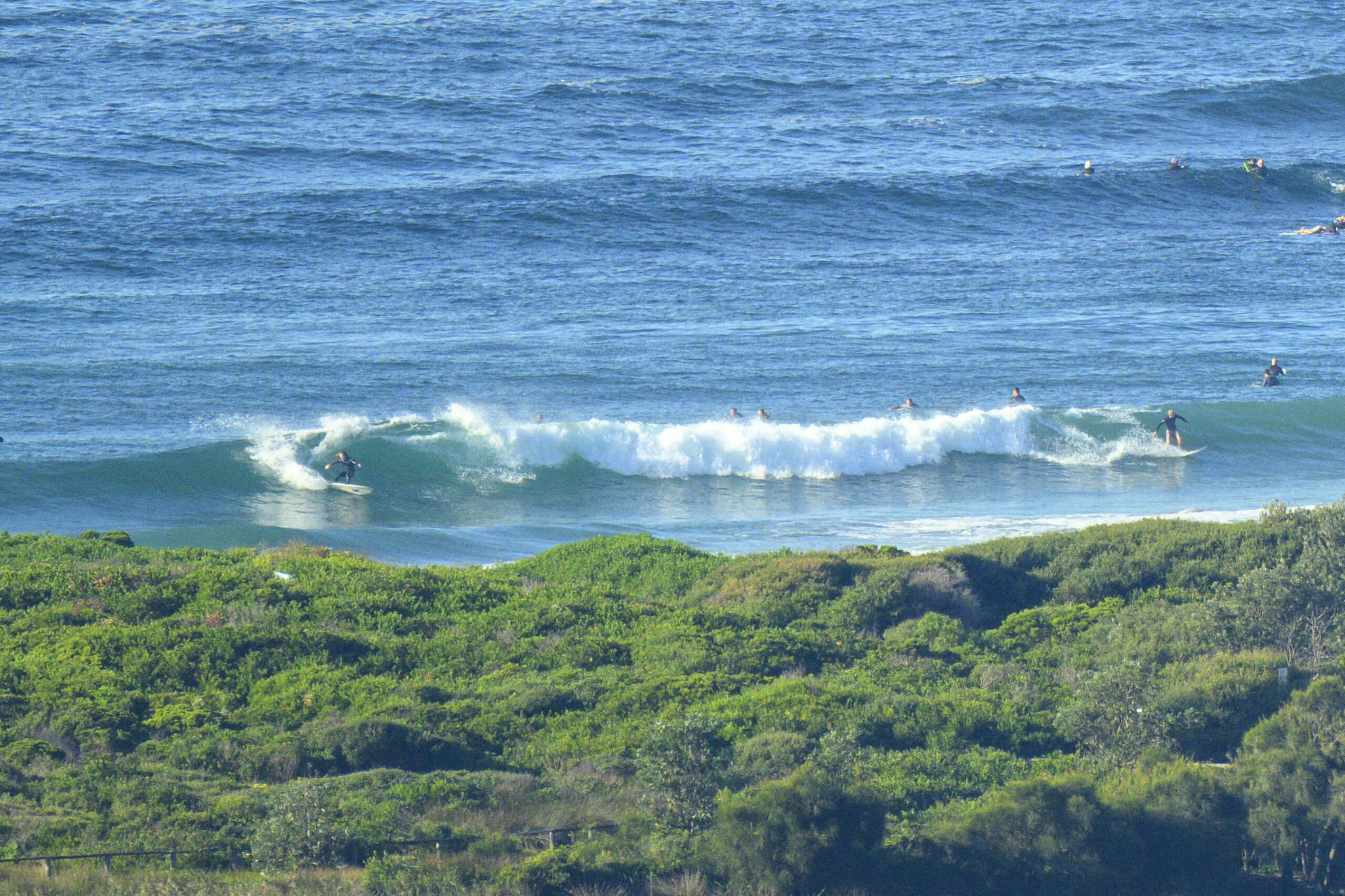
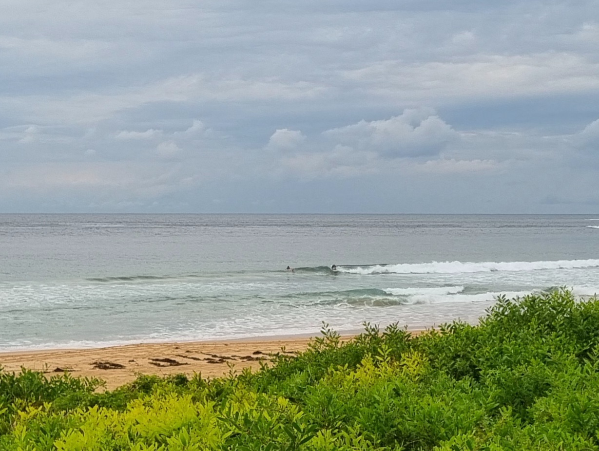
The Goat’s Surf Forecast
Surf forecast issued Thursday 6 February 2020: Seven day outlook:
Great to see the rain… and some more good falls are forecast over coming days.
There’ll be continuing waves from the East, courtesy of a big High, but the forecast is for the waves and the rain to come with wind, which never does a lot for surf quality… You can’t have it all.
Maybe from around Tuesday onward the surf might start looking more human-friendly.
In the meantime there’s plenty of other things to do…
Friday: somewhere in the 1-2 metre range, or maybe a little bigger, East
Saturday: coming up more. say 3-4 metres, or more, East, but with the wind and the rain I don’t think the size will really matter… the Ocean will be whipping itself into a frenzy by the look of things
Sunday: And a big Ditto… or in other words, Beach Closed
Monday: Still up, say 3-4 metres, possibly more, East, although wind conditions may, or may not, be a little calmer
Tuesday: somewhere around the 2=3 metre range East… might be looking better
Wednesday: around 2 metres or so East
Thursday: in the 1-2 metre range, with sets, East North East
Friday: in the 1-2 metre range East North East
Btw, All these onshore conditions are bringing in the blueys, just to add to the mixture of marine delights on this week’s menu…
TG
Up in the Air

Winds
https://www.windy.com/-33.855/151.216?-34.373,151.216,8
Down in the Sea
Water temp has dropped a bit to around 22 close to to the coast

Tides
https://www.rms.nsw.gov.au/documents/maritime/usingwaterways/tides-weather/tide-tables-2019-2020.pdf
Weather from the Bureau
Forecast for the rest of Thursday
- Summary

- Showers increasing.
- Chance of any rain: 80%

Sydney area
Cloudy. High (80%) chance of showers increasing into the evening. Winds easterly 15 to 25 km/h.
Surf conditions in the afternoon and evening may be more powerful than they appear and are expected to be hazardous for coastal activities such as rock fishing and swimming.
Sun protection recommended from 9:10 am to 4:50 pm, UV Index predicted to reach 11 [Extreme]
Friday 7 February
- Summary

- Min 21
- Max 23
- Showers increasing, possibly heavy.
- Possible rainfall: 45 to 90 mm
- Chance of any rain: 100%

Sydney area
Cloudy. Very high (near 100%) chance of showers, increasing into the afternoon and evening and tending heavy at times. The chance of a thunderstorm. Winds southeasterly 20 to 30 km/h.
Surf conditions may be more powerful than they appear and are expected to be hazardous for coastal activities such as rock fishing and swimming.
Fire Danger – Low-Moderate
Sun protection recommended from 9:10 am to 5:00 pm, UV Index predicted to reach 12 [Extreme]
7 day Town Forecasts
| Precis Icon | Location | Min | Max |
|---|---|---|---|
| Sydney | 21 | 23 | |
| Penrith | 19 | 22 | |
| Liverpool | 19 | 22 | |
| Terrey Hills | 18 | 21 | |
| Richmond | 19 | 22 | |
| Parramatta | 18 | 22 | |
| Campbelltown | 18 | 22 | |
| Bondi | 21 | 22 |
Saturday 8 February
- Summary

- Min 21
- Max 23
- Rain. Possible heavy falls.
- Possible rainfall: 45 to 90 mm
- Chance of any rain: 95%

Sydney area
Cloudy. Very high (95%) chance of rain. The chance of a thunderstorm. Heavy falls possible. Winds southeasterly 15 to 25 km/h turning easterly 35 to 50 km/h during the day.
Sun protection recommended from 9:10 am to 5:00 pm, UV Index predicted to reach 12 [Extreme]
Sunday 9 February
- Summary

- Min 21
- Max 24
- Rain. Possible heavy falls.
- Possible rainfall: 40 to 80 mm
- Chance of any rain: 95%

Sydney area
Cloudy. Very high (95%) chance of rain. The chance of a thunderstorm. Heavy falls possible. Winds east to southeasterly 30 to 45 km/h tending south to southeasterly 25 to 40 km/h during the morning then shifting northeasterly 25 to 35 km/h during the afternoon.
Sun protection recommended from 9:00 am to 5:00 pm, UV Index predicted to reach 12 [Extreme]
Monday 10 February
- Summary

- Min 21
- Max 26
- Rain. Possible heavy falls.
- Possible rainfall: 25 to 60 mm
- Chance of any rain: 90%

Sydney area
Cloudy. Very high (90%) chance of rain. The chance of a thunderstorm. Heavy falls possible. Winds northeasterly 20 to 30 km/h becoming light during the day.
Tuesday 11 February
- Summary

- Min 22
- Max 27
- Showers.
- Possible rainfall: 4 to 15 mm
- Chance of any rain: 80%

Sydney area
Cloudy. High (80%) chance of showers. The chance of a thunderstorm. Winds northeasterly 15 to 25 km/h.
Wednesday 12 February
- Summary

- Min 22
- Max 27
- Shower or two.
- Possible rainfall: 3 to 10 mm
- Chance of any rain: 70%

Sydney area
Cloudy. High (80%) chance of showers. The chance of a thunderstorm. Light winds.
Thursday 13 February
- Summary

- Min 22
- Max 26
- Shower or two.
- Possible rainfall: 3 to 10 mm
- Chance of any rain: 70%

Sydney area
Cloudy. High (70%) chance of showers. The chance of a thunderstorm. Light winds becoming southeasterly 15 to 20 km/h during the day.


