Hello Friends,
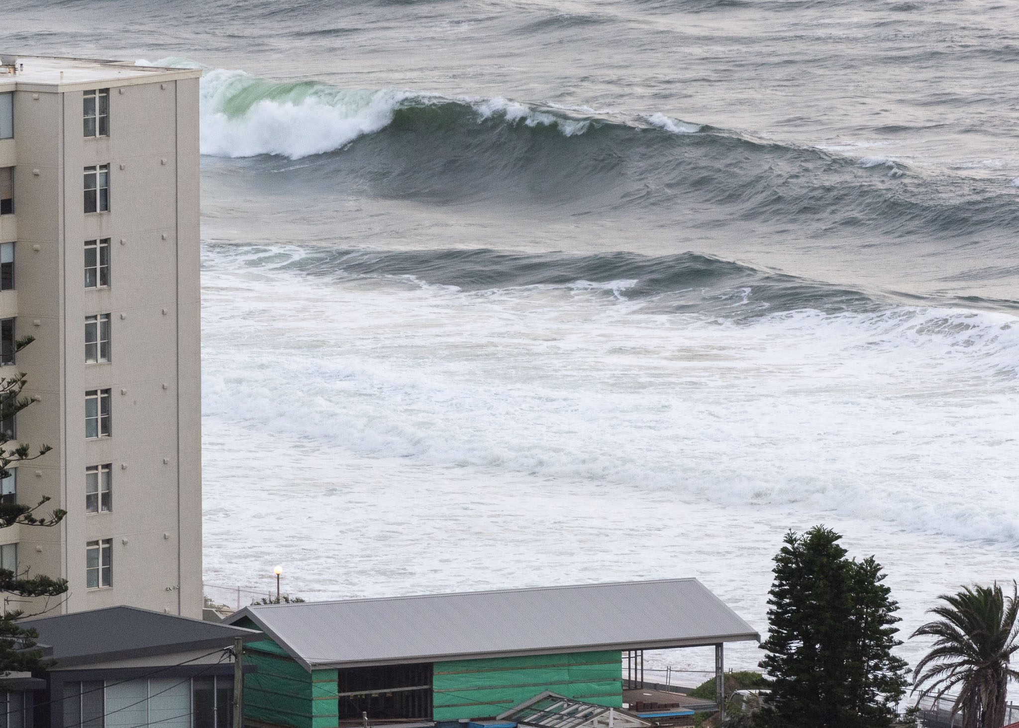
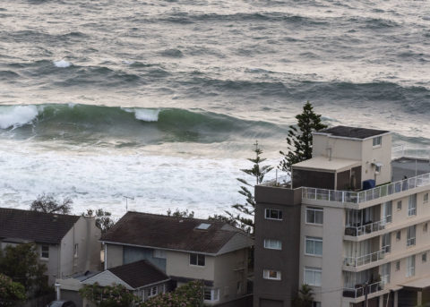
A break in the rain early Saturday morning. As of 0620 the wind was out of the ESE at 13-17 kts and out at sea the MHL buoy was seeing 2.7 metres of 7-second energy from 140-152° (ESE). There were some sizable looking sets along the Collaroy to Narrabeen stretch which, combined with the 1.9 metre high tide at 0820 could mean noticeable erosion at key points along the beach. We’ve had more that 100mm of rain in across the catchment in the last 24 hours, and that comes on top of a similar amount Thursday. The upshot is that all city beaches are likely to have pollution from stormwater run off. In fact, there was a bypass event at Warriewood yesterday.
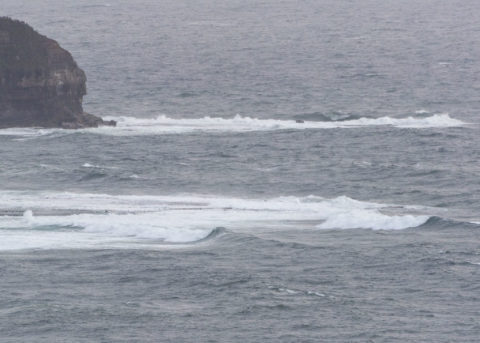
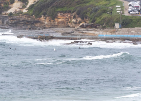
I saw a few people bobbing around in the swill at Dee Why point, but nowhere else. Waves were in the chest high range with the odd bigger one and it was messy looking thanks to the relentless ESE wind. I wouldn’t risk a case of something bacterial for it myself.
We have a strong wind warning for today and a gale warning tomorrow. Plus there will be heavy rain at times on both days. Tomorrow should see a peak in the swell energy, but there should be enough size to surf all week. The big issue will be water pollution and non-stop onshores. Some models are showing a brief interlude between the strong wind conditions around midweek.

Weather Situation
A strong high pressure system to the south of Tasmania extends a ridge into the Tasman Sea, while a deepening trough lies along the New South Wales coast. This pattern is expected to bring fresh and gusty onshore winds to most coastal areas during the next few days. Some areas may experience strong to gale force winds as the coastal trough deepens, potentially giving rise to small low pressure circulations.
Forecast for Saturday until midnight
Strong Wind Warning for Saturday for Sydney Coast
Winds
Easterly 20 to 30 knots.
Seas
2 to 3 metres.
Swell
Easterly 1.5 to 2.5 metres.
Weather
Cloudy. 95% chance of rain, heavy at times. The chance of a thunderstorm.
Caution
Large and powerful surf conditions are expected to be hazardous for coastal activities such as crossing bars by boat and rock fishing.
Sunday 9 February
Gale Warning for Sunday for Sydney Coast
Winds
Easterly 25 to 35 knots tending east to northeasterly 20 to 30 knots in the middle of the day then increasing to 25 to 35 knots in the evening.
Seas
2 to 3 metres.
1st Swell
Easterly 2 to 3 metres, increasing to 4 metres during the morning.
2nd Swell
Southerly below 1 metre, increasing to 1 to 1.5 metres around midday.
Weather
Cloudy. Near 100% chance of rain, heavy at times. The chance of a thunderstorm.
Caution
Large and powerful surf conditions are expected to be hazardous for coastal activities such as crossing bars by boat and rock fishing.
Monday 10 February
Winds
Northeasterly 20 to 30 knots at first, tending northwest to northeasterly 15 to 20 knots during the morning, then becoming northeasterly during the afternoon.
Seas
2 to 3 metres, decreasing to 1 to 2 metres during the morning.
1st Swell
Easterly 3 to 4 metres, decreasing to 3 metres during the evening.
2nd Swell
Southerly 1 to 2 metres, decreasing to around 1 metre during the morning.
Weather
Cloudy. 80% chance of showers. The chance of a thunderstorm.


