
Hello Friends,
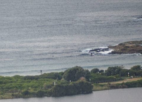
Surf has faded out this morning. There were a few hopefuls at the point and one of them even caught a sub-knee high bump for a few metres, but there’s just not enough energy in the system for Dee Why. Out at sea the waverider buoy was registering about a metre at 10-11 sec from the ESE. So, there could be other spots around with a little more on offer. I’m doing the Manly run this morning, so I’ll take the camera along just in case. Wind was WNW at 6 kts just before 0800. Tide just coming off the low at 0730 and is currently running into a moderate 1.26 m high at 1330.
The good news is that the models are saying we should see the waves picking up again in the next 24 hours. It doesn’t look like getting too intense, but magnets could see chest to shoulder plus on and off through the weekend.
Go well, stay well and keep washing those hands!
By Order of the Federal Government, our beaches are open for exercise only – surfing, swimming, running and walking. Beaches will be closed due to unsafe conditions and or mass gatherings. All pools are closed at this time.
Please see some commonly asked questions about the beach closures.
If people are sunbaking or gathering on the beach, they will be asked to move along by our lifeguards, rangers or the police.
Due to the risk of Coronavirus and acting on direction of NSW and Federal Governments, Council has closed many public areas. View the latest updates on the evolving situation with Coronavirus (COVID-19).
In addition, it is against the law to gather with more than two people in public, except:
- for members of the same household
- where the gathering is essential for work or education
- If you go out, stay 1.5 metres away from other people at all times.
The rules are also now enforceable and Police are issuing fines of $1000 for individuals and $5000 for companies. These are difficult circumstances and we appreciate your patience and understanding.
Weather Situation
A cold front is forecast to skim across southeastern Australia today bringing a southerly change to the New South Wales coast. Following this, a trough is expected to linger offshore in the north as a high pressure system over the Bight gradually moves across southeastern Australia.
Forecast for Wednesday until midnight
Winds
Northwesterly 10 to 15 knots turning westerly in the middle of the day then shifting south to southwesterly 15 to 20 knots in the late afternoon.
Seas
1 to 1.5 metres.
Swell
Easterly below 1 metre.
Weather
Partly cloudy.
Thursday 14 May
Winds
South to southeasterly 15 to 20 knots.
Seas
Around 1.5 metres, increasing to 1.5 to 2 metres offshore.
1st Swell
Southerly around 1 metre, increasing to 1 to 1.5 metres during the morning.
2nd Swell
Easterly around 1 metre.
Weather
Cloudy. 70% chance of showers. The chance of a thunderstorm.
Friday 15 May
Winds
Southerly 10 to 15 knots turning southeasterly below 10 knots during the afternoon.
Seas
1 to 1.5 metres, decreasing to 1 metre during the morning.
1st Swell
Southerly 1.5 metres, decreasing to around 1 metre during the morning.
2nd Swell
Easterly around 1 metre, increasing to 1 to 1.5 metres during the morning.
Weather
Partly cloudy.


