Hello Friends,
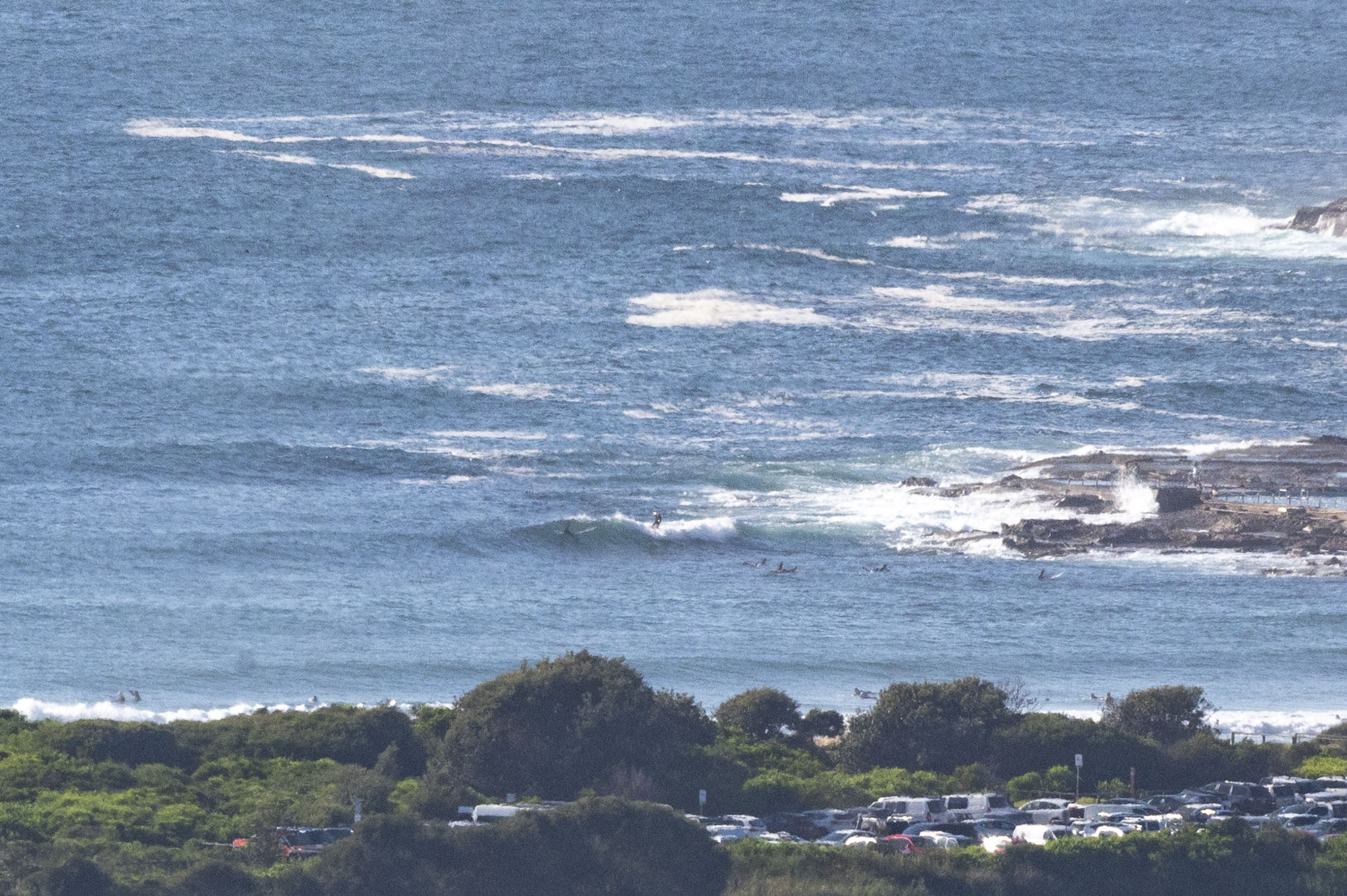
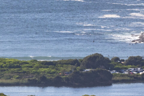
A warm and hazy start to Sydney as we head to a high of 33c along the coast. Heaps of folks in the water at Dee Why by 0800 chasing the waist to maybe occasionally chest plus waves. Tide was dropping to the low at 1245 and a light NNE wind was texturing up the surface – and the choppiness will only increase as the wind ramps up to 15-25 kts. Swell at sea was 1.75 metres at 7 seconds from the NE.
Go well with your Sunday and get into the 24C water if you can. Oh, and take the mask!

Weather Situation
A high pressure system over the Tasman Sea extends a ridge to the northern New south Wales coast. A weak trough is forecast to briefly affect southern waters later today. The high is expected to remain dominant in the region until Tuesday, when it looks set to weaken and allow a stronger trough to move through southern and central waters.
Forecast for Sunday until midnight
Strong Wind Warning for Sunday for Sydney Coast
Winds
North to northeasterly 15 to 25 knots, reaching up to 30 knots offshore in the evening.
Seas
1.5 to 2.5 metres.
Swell
Southerly 1 to 1.5 metres.
Weather
Sunny.
Monday 25 January
Strong Wind Warning for Monday for Sydney Coast
Winds
North to northeasterly 20 to 30 knots.
Seas
2 to 3 metres.
Swell
Southerly around 1 metre.
Weather
Mostly sunny.
Tuesday 26 January
Winds
North to northeasterly 20 to 30 knots.
Seas
2 to 3 metres.
Swell
Northeasterly 1 to 1.5 metres.
Weather
Sunny.


