Hello Friends,
Lots of showers on the radar this morning and it looks as though they’ll be a feature all day as we inch to a chilly 16C high. Just before sunrise it was 11C with the wind was coming from the SW at 15-20 kts. Out at sea the 3.5 metre swell was coming from the SE (138°) at 7 seconds apart. First tide of the daylight hours is a 1.3 m high at 0830.
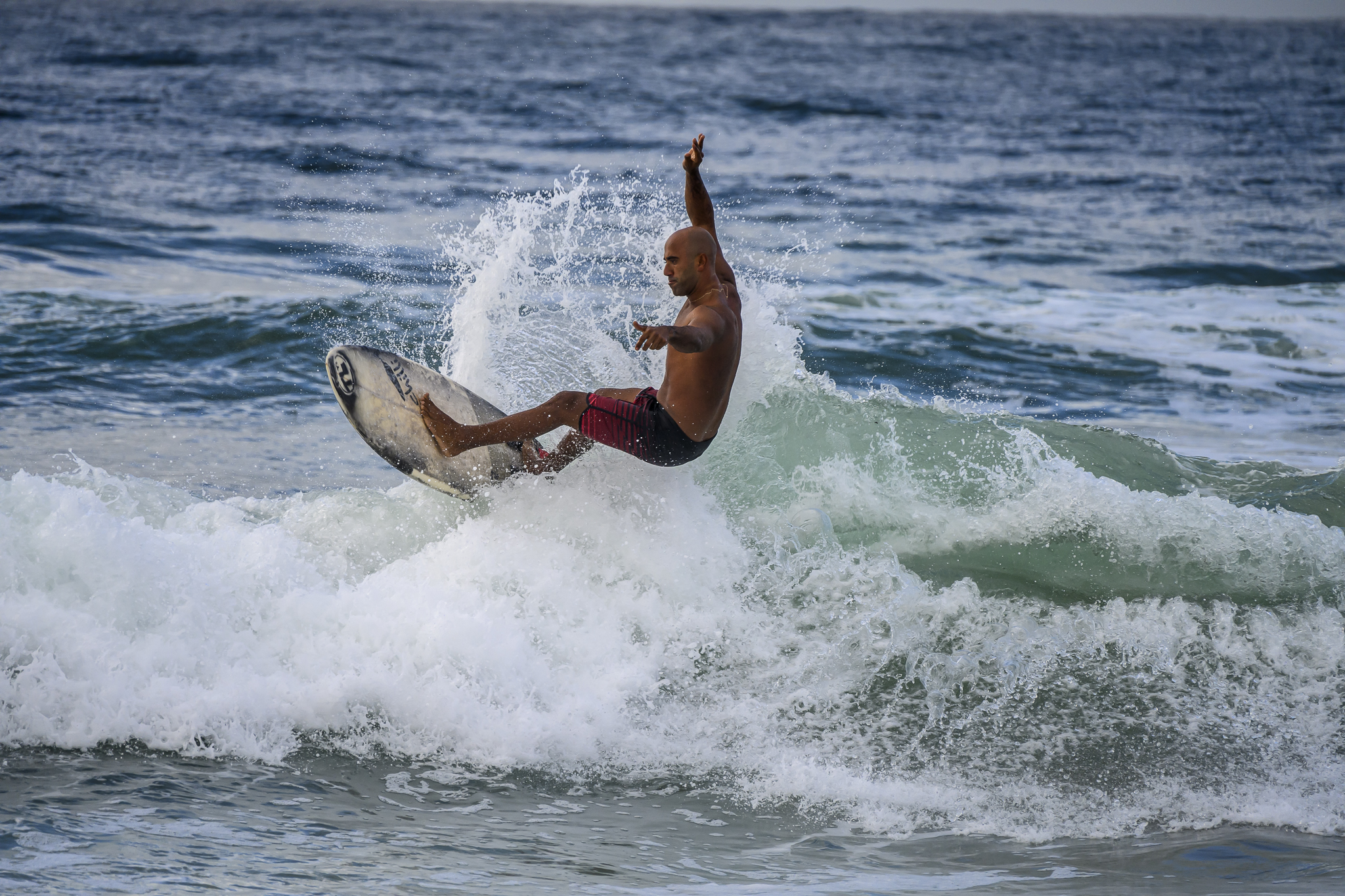
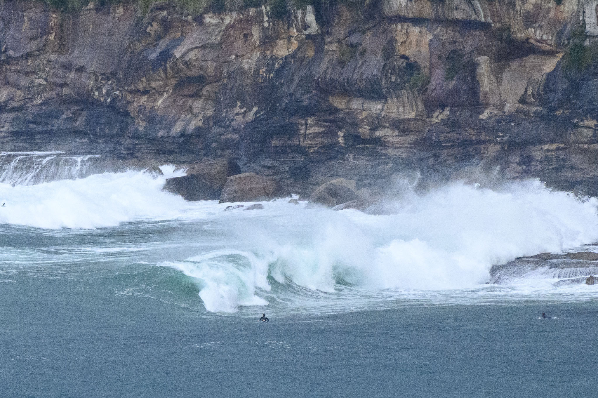
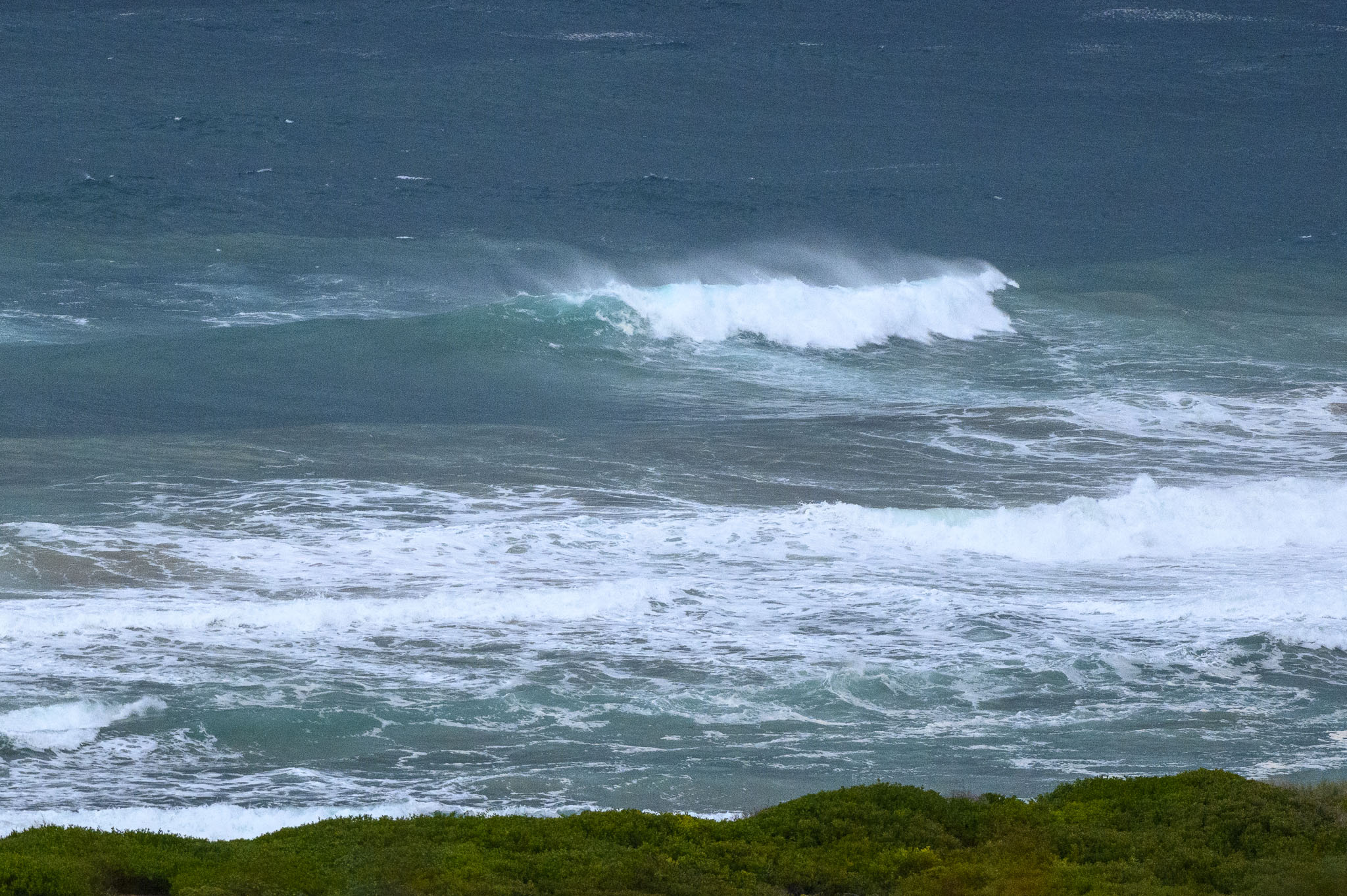
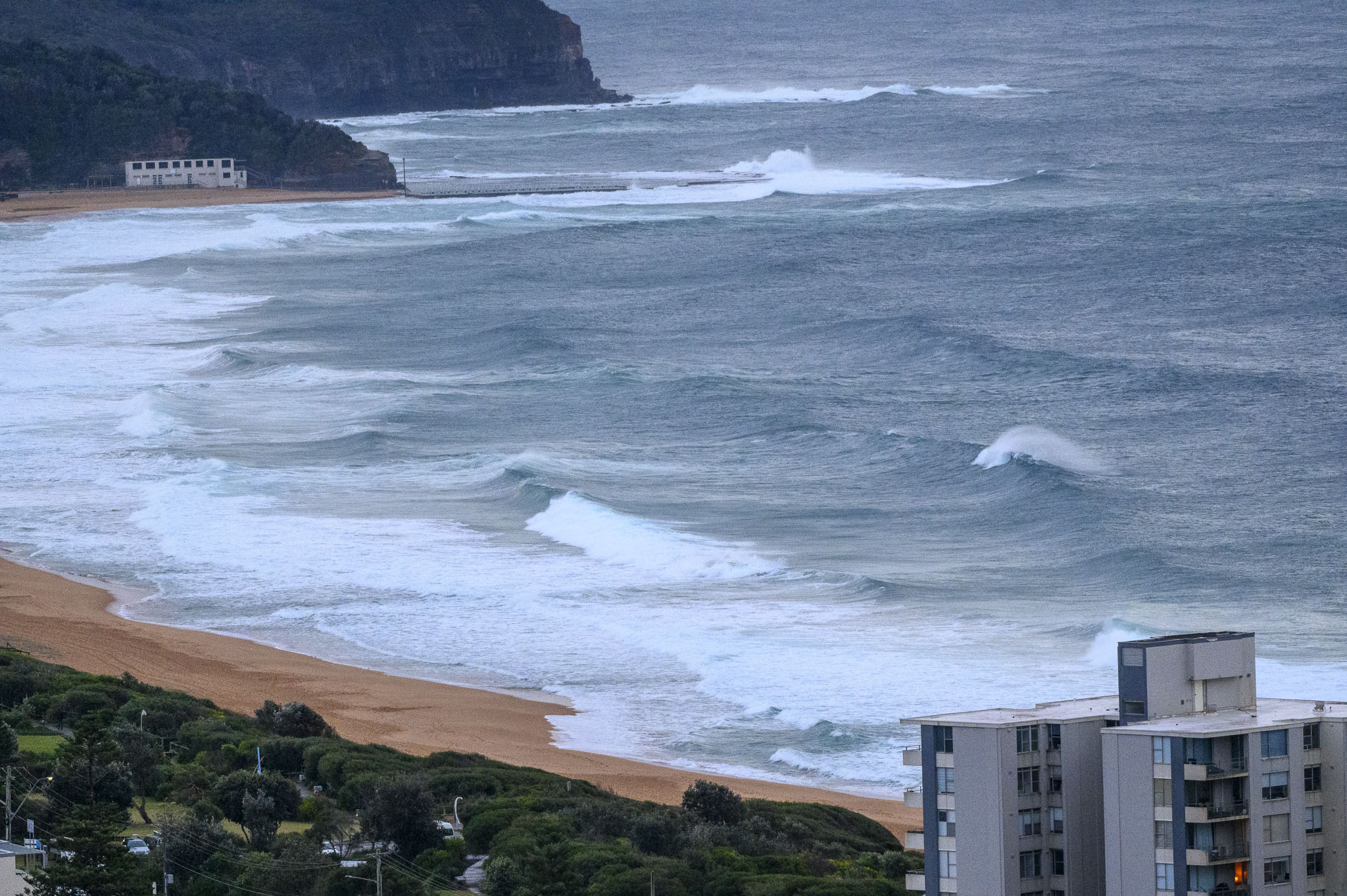
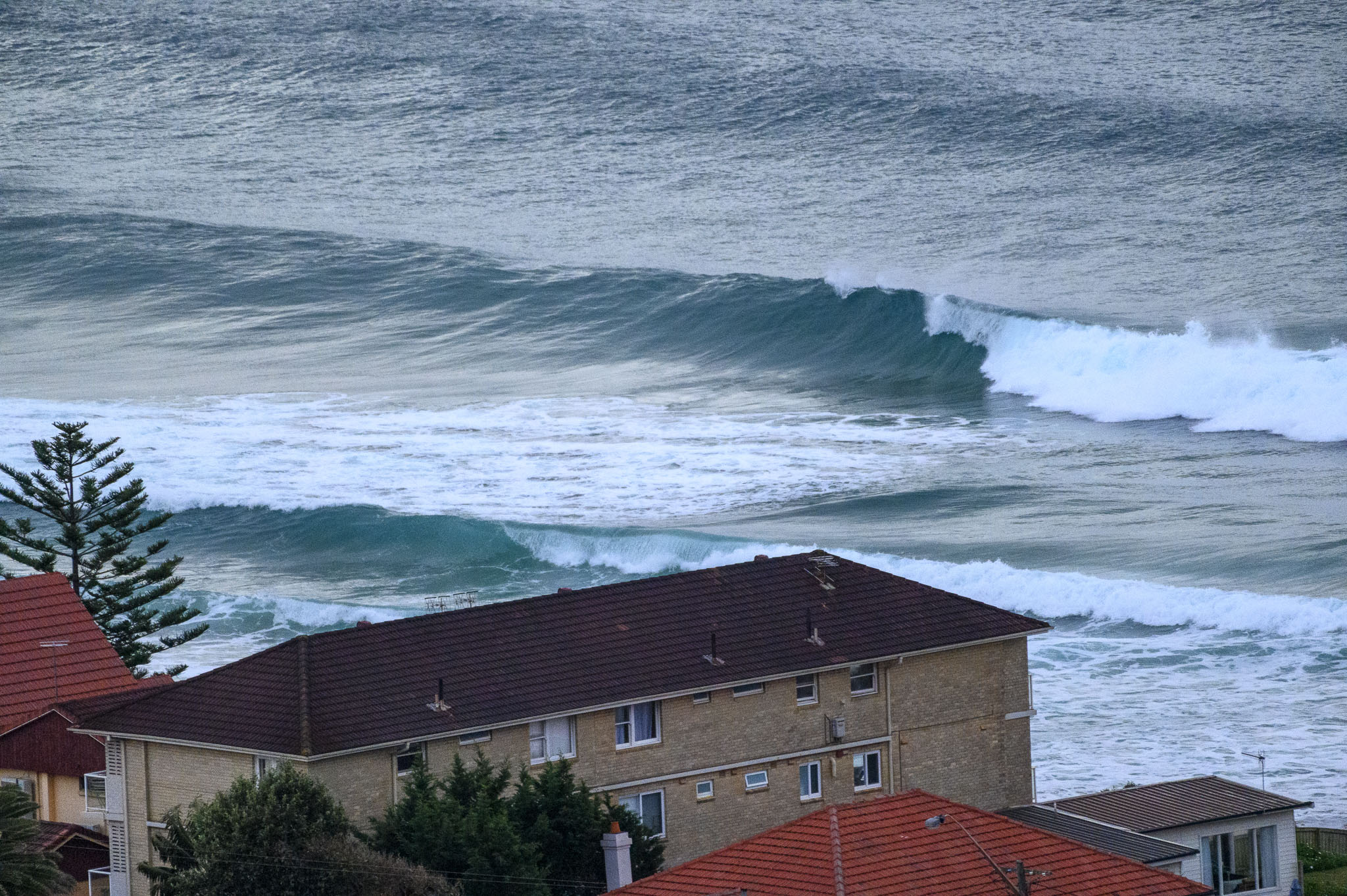
Swell looked pretty disorganised when I grabbed the pics this morning. No one was visible in the water along the Collaroy-Narrabeen stretch and there were only a few stalwarts chasing lumpy looking sets at Dee Why point.
The swell models are calling for it to maybe pick up a bit more today as the periods start to stretch out into the 10-11 second range. The problem is that the wind’s expected to swing south and to pick up by this afternoon. It should still be pretty solid tomorrow morning, but with likely showers and southerly wind. The swell should fade steadily, but with any luck there’ll be waves and nicer weather for the front half of next week.
Go well, stay safe and stay home when you aren’t getting exercise or essentials.
Weather Situation
An offshore low developing off the central coast is extending fresh to strong west to southwesterly winds throughout NSW coastal waters, reaching gale force about central and northern coastal waters during Saturday. Winds will tend southeast to southwesterly across southern and central coastal waters by late Saturday, and south to southwesterly across northern coastal waters. Winds are expected to ease during Sunday as the low moves away to the east.
Forecast for Saturday until midnight
Strong Wind Warning for Saturday for Sydney Coast
- Winds
- South to southwesterly 25 to 30 knots, tending southerly 20 to 30 knots during the afternoon.
- Seas
- 2 to 3 metres.
- Swell
- Easterly 1 to 1.5 metres, increasing to 1.5 to 2.5 metres during the morning, then tending southeasterly 2 to 3 metres during the afternoon.
- Weather
- Cloudy. 90% chance of showers. The chance of a thunderstorm offshore.
- Caution
- Large and powerful surf conditions are expected to be hazardous for coastal activities such as crossing bars by boat and rock fishing.
Sunday 11 July
- Winds
- Southerly 15 to 20 knots turning east to southeasterly below 10 knots during the morning and early afternoon.
- Seas
- 1 to 2 metres.
- Swell
- Southeasterly 3 metres, tending easterly 2.5 to 3 metres by early evening.
- Weather
- Partly cloudy. 90% chance of showers. The chance of a thunderstorm offshore.
- Caution
- Large and powerful surf conditions are expected to be hazardous for coastal activities such as crossing bars by boat and rock fishing.
Monday 12 July
- Winds
- Variable about 10 knots becoming north to northwesterly 15 to 20 knots during the evening.
- Seas
- Below 1 metre.
- Swell
- Easterly 2 to 2.5 metres.
- Weather
- Partly cloudy. 80% chance of showers.