
Hello Friends,
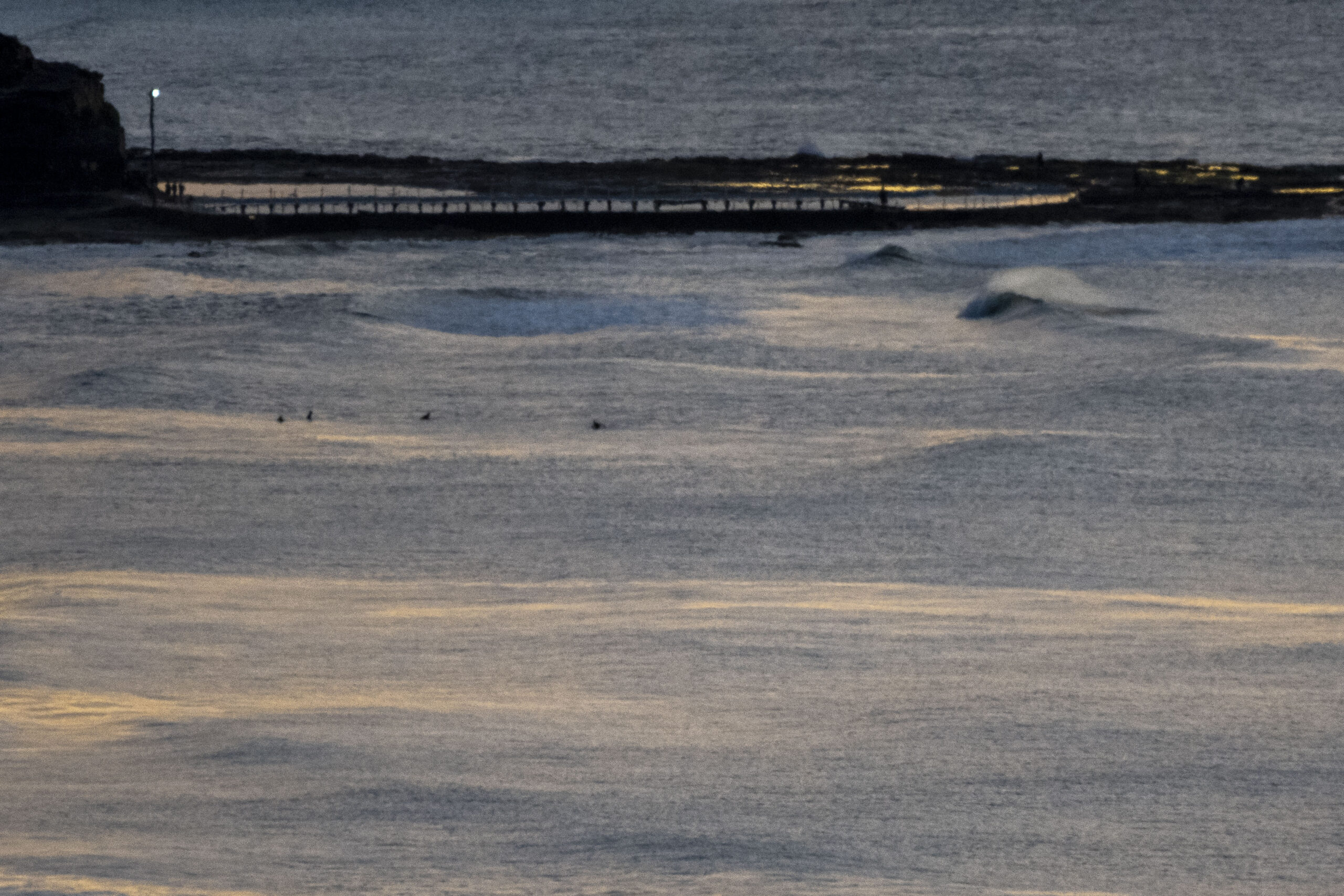
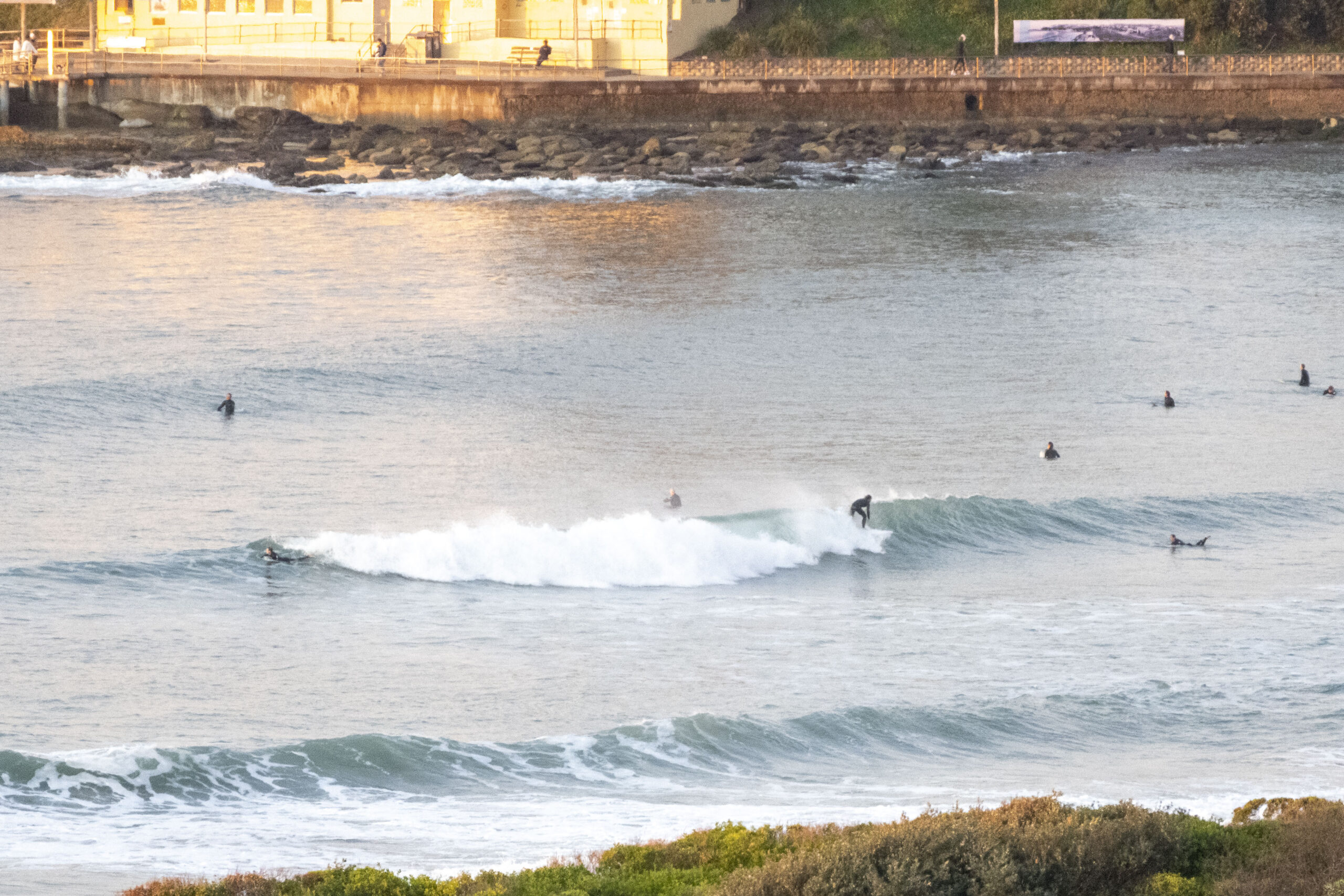
Swell faded back steadily yesterday and overnight with the consequence that it was getting toward flat at lots of places by first light on Saturday. That said, there were still a few catchable bumps for the dawn patrol. It wasn’t consistent, but as the pics show, if you were in the spot, a chest high wave face was still a possibility.
Out at sea swell was 1.25 metres at a little under 9 seconds apart and coming from the SSE as of 0600. Wind was coming lightly from the NW at 7-8 kts, so surface conditions were smooth. Air temp at RealSurf HQ was a brisk 6°C under mostly clear skies. It’ll warm up later to 16. Tide hit low at 0425 and will be back to the 1.45m high at 1025. Ocean temp is 19oC.
Outlook is for the tiny conditions to persist until around Tuesday morning when a fresh straight 10-second south pulse in the 3 metre range should make itself felt. Right now the call is for SSW wind (and cloudy, showery weather) on its arrival, so we could see energy into the head high plus range at magnets. The long range forecast is showing the south energy sticking around through to about Friday. Unfortunately at this stage it looks as though the wind will be pretty strong SE from Thursday through to Sunday. But that’s a very long way out, so I wouldn’t be locking the plans in just yet.
Have a great Saturday everyone!


Weather Situation
A high pressure system over northeastern NSW will continue to drift east into the Tasman Sea today as a cold front approaches from the west. As this front moves east, northwesterly winds are expected to increase today and on Sunday and then shift southerly on Monday. After this, south to southeasterly winds are forecast to persist and unsettled conditions return.
Forecast for Saturday until midnight
Strong Wind Warning for Saturday for Sydney Coast
- Winds
- Northwesterly about 10 knots increasing to 15 to 20 knots in the morning. Winds reaching up to 30 knots offshore in the late evening.
- Seas
- Below 1 metre, increasing to 1 to 1.5 metres around midday, then increasing to 1.5 to 2 metres later in the evening.
- Swell
- Southeasterly 1 to 1.5 metres, decreasing to around 1 metre during the morning.
- Weather
- Partly cloudy.
Sunday 17 July
Strong Wind Warning for Sunday for Sydney Coast
- Winds
- Northwesterly 20 to 30 knots.
- Seas
- 2 to 2.5 metres.
- Swell
- South to southeasterly below 1 metre.
- Weather
- Sunny day. The chance of a thunderstorm offshore at night.
Monday 18 July
- Winds
- Northwesterly 20 to 30 knots turning southwesterly during the morning.
- Seas
- 1.5 to 2.5 metres.
- Swell
- Southerly below 1 metre, increasing to 1 to 2 metres during the evening.
- Weather
- Partly cloudy. 90% chance of showers. The chance of a thunderstorm.


