Hello Friends,
Swell’s dialled back a little from yesterday, but it’s still 2 metres at sea and coming from the east with a period of 11.5 seconds, so wave faces on sets at the best exposures are solidly overhead. Wind’s been blowing out of the northerly quarters since yesterday evening and so the surface is a little textured (more so in the south corners). First tide of the daylight hours was a modest 1.23 m high at 0650. We’re back to low at 1215. Weather is set to be showery all day with a high of 18C. Ocean temp’s on 19C and water’s good most places according to Beachwatch.
Outlook is for the wind to swing to the west by midday and to push up into the 20-30 kt range. Swell should maintain its current intensity too.
Tomorrow the SW wind will go hard all day and the swell is set to ramp up as some south component mixes with the easterly energy. Weather should be sunny too. And it looks as though we should have waves into Saturday morning.
Stay safe, go well and have a great Tuesday!


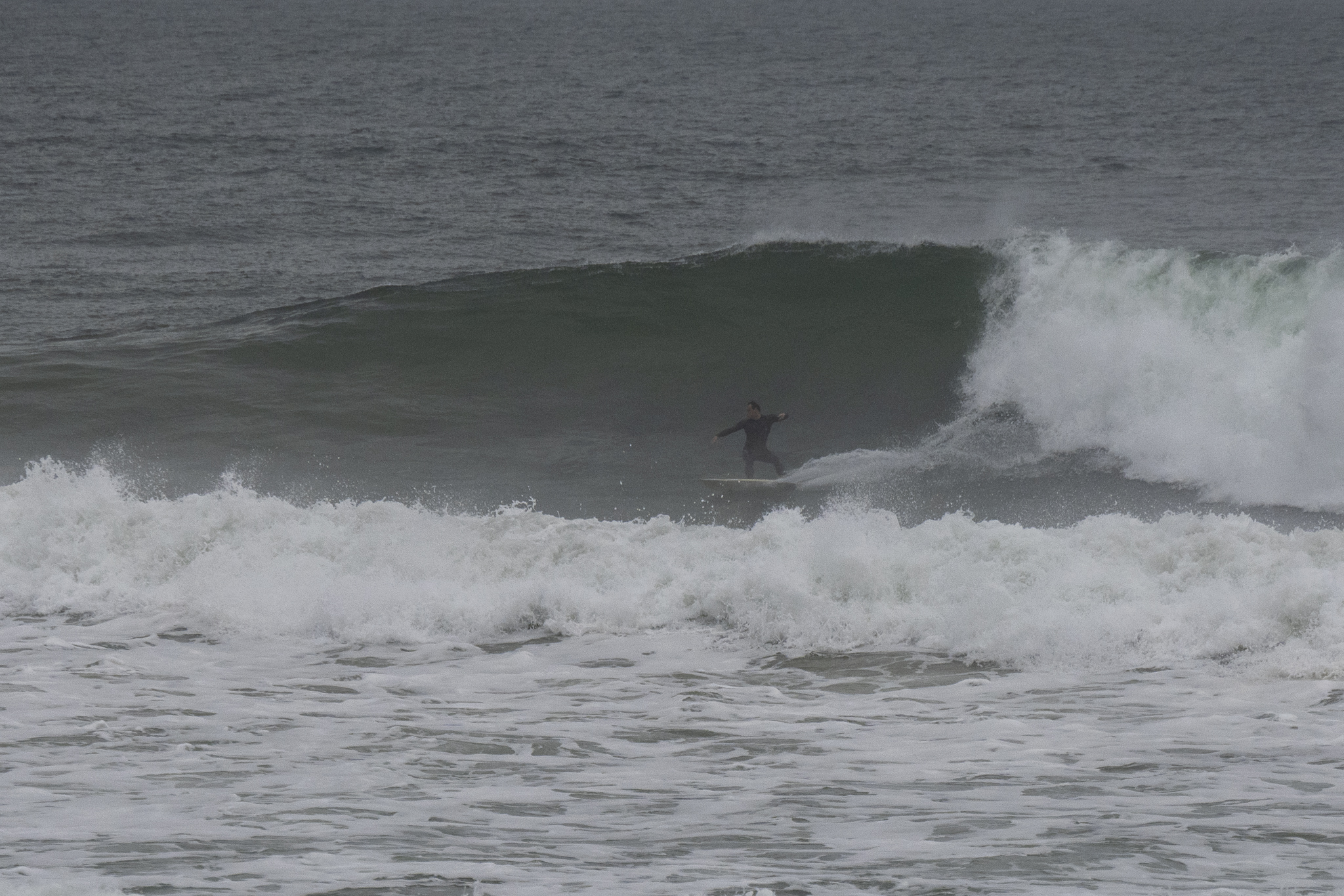
 (above) Manly
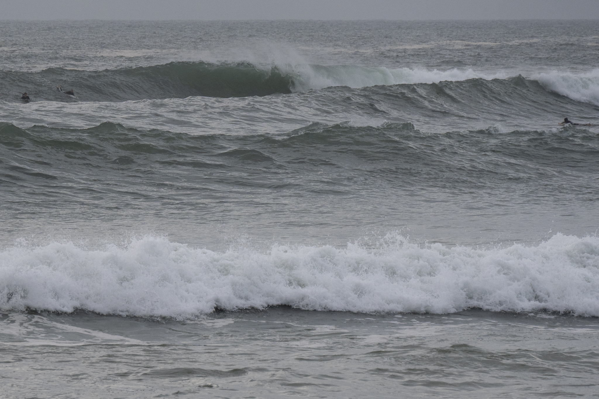
(below) Dee Why

Weather Situation
A cold front is crossing the state today, bringing a strong and gusty west to southwesterly change. A second cold front looks set to arrive at the end of the week.
Forecast for Tuesday until midnight
Strong Wind Warning for Tuesday for Sydney Coast
- Winds
- North to northwesterly 15 to 20 knots turning westerly 20 to 30 knots in the late morning and early afternoon. Winds becoming west to southwesterly in the late afternoon.
- Seas
- 1 to 1.5 metres, increasing to 2 to 3 metres during the afternoon.
- Swell
- Easterly 2 metres.
- Weather
- Partly cloudy. The chance of a thunderstorm.
Wednesday 27 July
Strong Wind Warning for Wednesday for Sydney Coast
- Winds
- Southwesterly 20 to 30 knots decreasing to 15 to 25 knots in the late afternoon.
- Seas
- 1.5 to 2.5 metres.
- 1st Swell
- South to southwesterly below 1 metre, increasing to 1 to 2 metres during the morning, then tending southerly 2 to 4 metres around midday.
- 2nd Swell
- Easterly 1.5 to 2 metres, tending southeasterly 1 to 1.5 metres during the morning, then increasing to 1.5 to 2 metres later in the evening.
- Weather
- Partly cloudy. 50% chance of showers.
- Caution
- Large and powerful surf conditions are expected to be hazardous for coastal activities such as crossing bars by boat and rock fishing.
Thursday 28 July
- Winds
- Southwesterly 15 to 20 knots turning westerly during the morning.
- Seas
- 1 to 1.5 metres, decreasing to 1 metre during the morning.
- 1st Swell
- Southeasterly 2 to 2.5 metres, decreasing to 1.5 metres during the afternoon.
- 2nd Swell
- South to southwesterly 1 to 2 metres, decreasing to around 1 metre during the morning.
- Weather
- Sunny.


