Hello Friends,
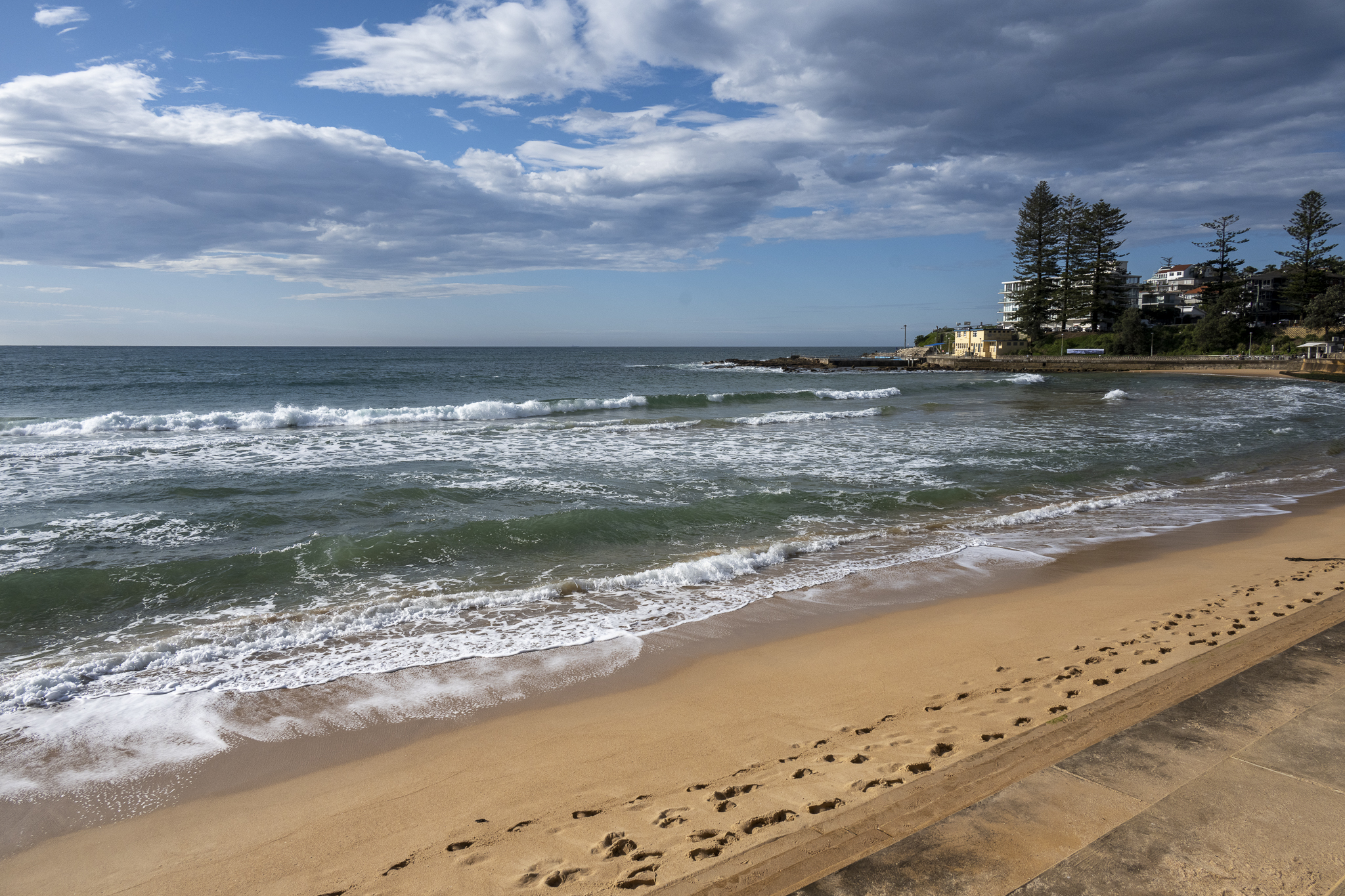
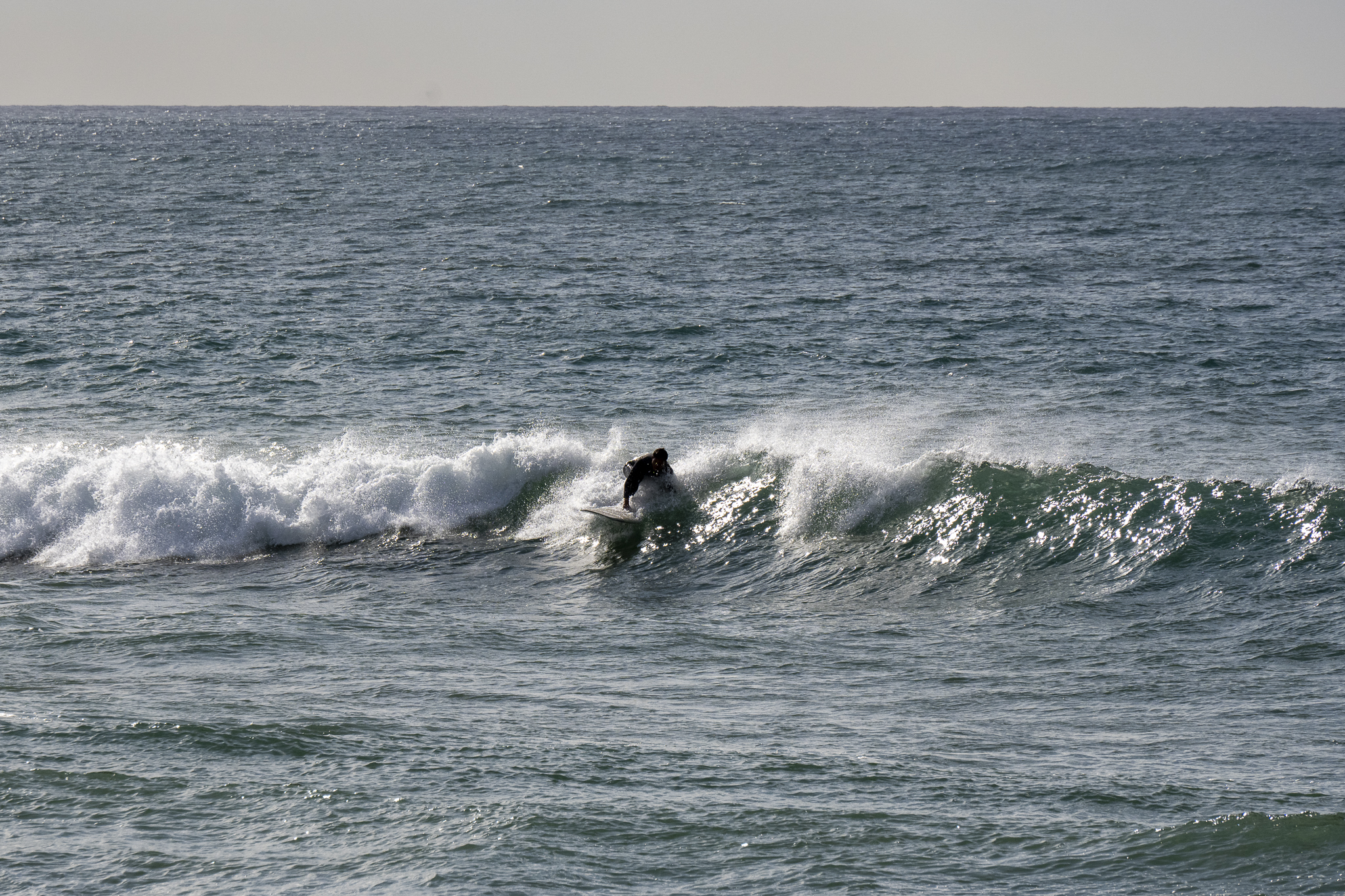
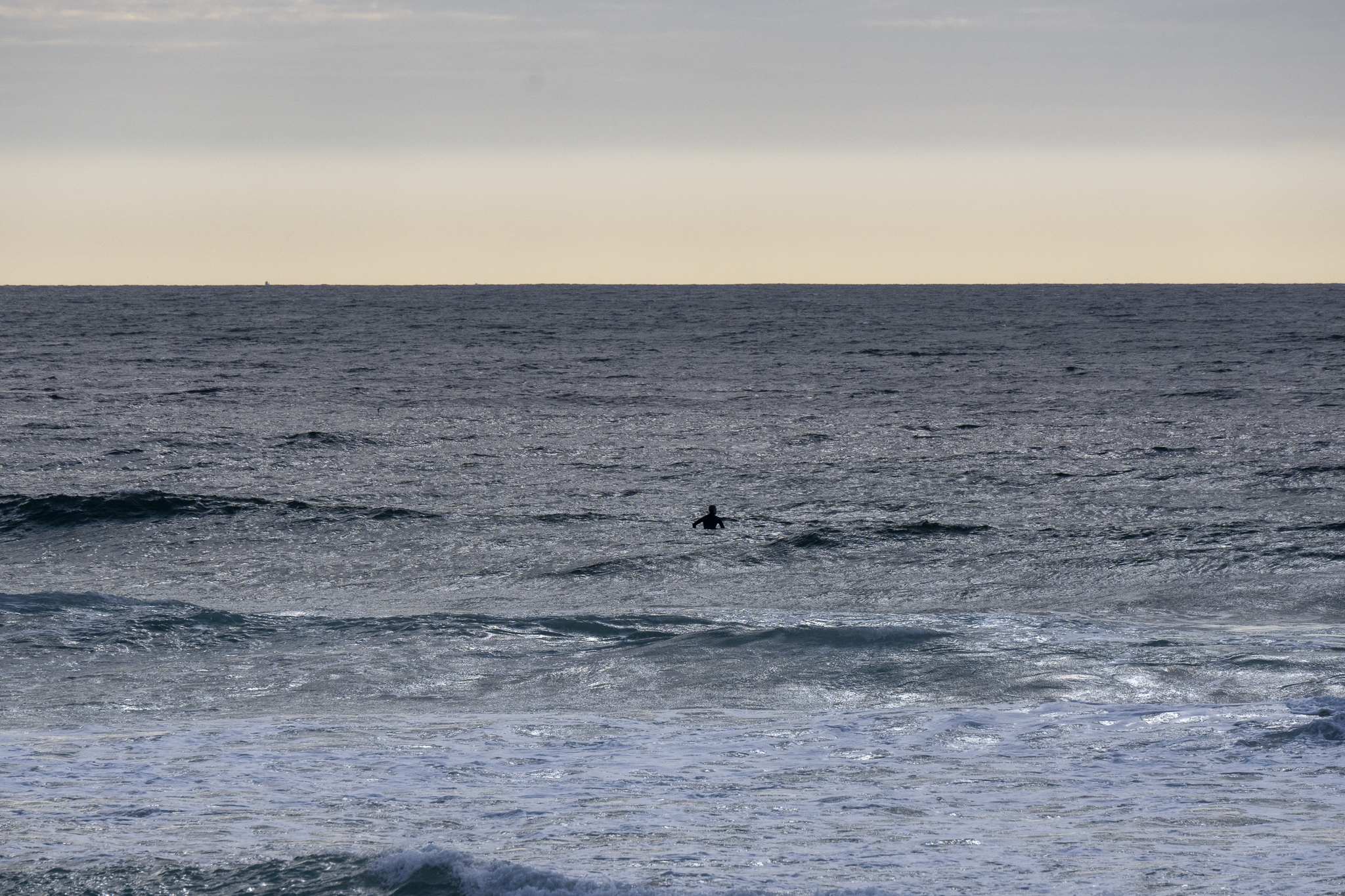
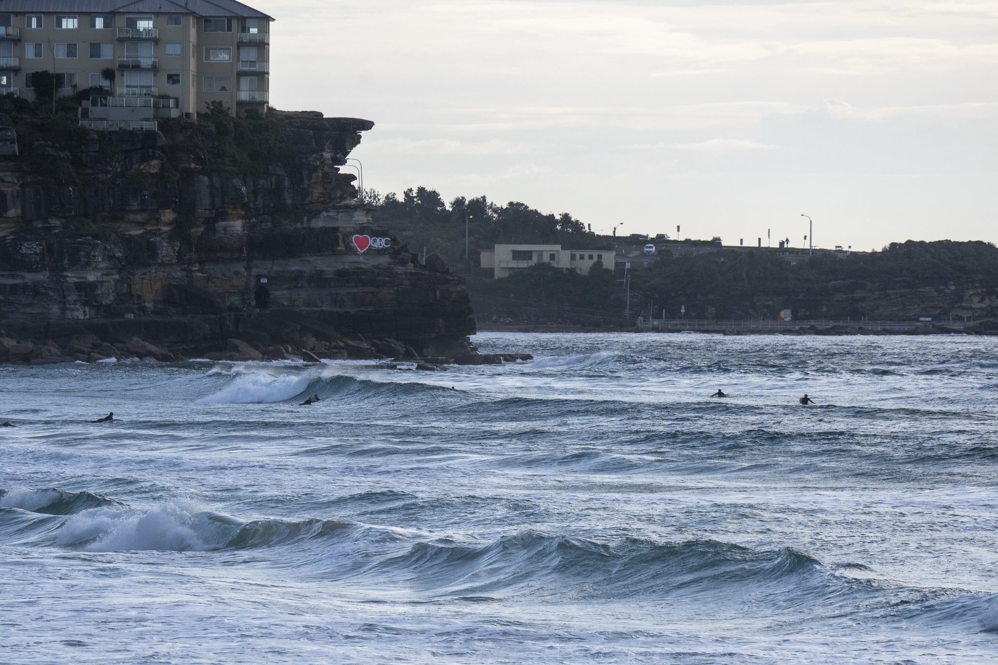
Swell’s faded overnight and the northerly wind is pushing along strongly ahead of what promises to be a blustery south change with possibly heavy rain late in the afternoon. Only a few desperate types in the water at Manly, no one at Curly and one at Dee Why. Looked like long waits for a weak and crumbling knee to waist high lump.
Out at sea the dominant swell was coming from the east at 11 seconds apart but with a height of just a metre. From the look of the forecast, we can expect lots of wind through tomorrow along with a brief pulse in swell size. Wind should be SW, so there could be something worthy in the south corners. By Wednesday evening, swell is expected to be subsiding and right now it looks as though we’re in for a period of shortish period, metre or so stuff from the south as we head toward the weekend.
Go well!
Weather Situation
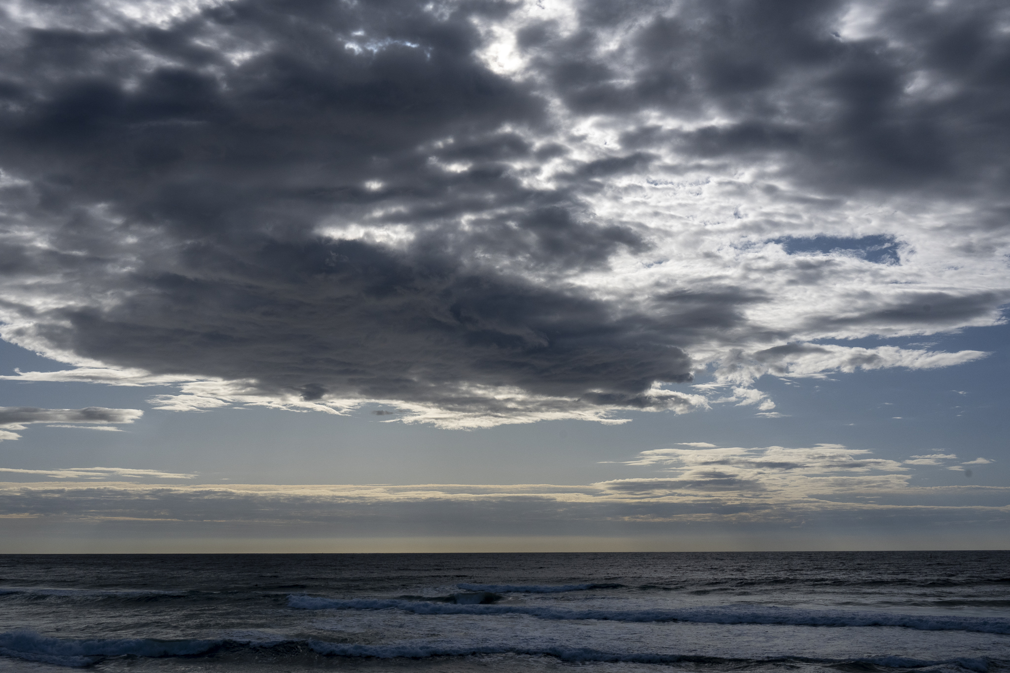
A significant cold front will cross the coast today, with fresh to strong north to northwesterly winds ahead of the front and a strong and gusty southerly change in the wake. After this, a low pressure system may develop on Tuesday night over the central or northern coastal waters but is expected to move away to the east on Wednesday.
Forecast for Tuesday until midnight
Gale Warning for Tuesday for Sydney Coast
- Winds
- Northerly 15 to 25 knots shifting southerly 20 to 30 knots in the early afternoon. Winds reaching up to 35 knots during the afternoon and evening.
- Seas
- 1.5 to 2 metres, increasing to 2.5 to 3 metres by early evening.
- 1st Swell
- Southerly around 1 metre, increasing to 1.5 to 2.5 metres by early evening.
- 2nd Swell
- Easterly around 1 metre inshore, increasing to 1 to 1.5 metres offshore during the afternoon.
- Weather
- Becoming cloudy. Rain. The chance of a thunderstorm from late this morning, possibly severe.
Wednesday 24 August
Gale Warning for Wednesday for Sydney Coast
- Winds
- Southwesterly 20 to 30 knots, reaching up to 35 knots offshore early in the morning. Winds decreasing to 15 to 25 knots in the morning then tending westerly 15 to 20 knots in the late evening.
- Seas
- 2 to 3 metres, decreasing to 1.5 to 2 metres around midday, then decreasing to 1 metre by early evening.
- 1st Swell
- Southerly 2 to 3 metres, decreasing to 1.5 to 2 metres during the afternoon.
- 2nd Swell
- Easterly around 1 metre.
- Weather
- Partly cloudy. 60% chance of showers.
- Caution
- Large and powerful surf conditions are expected to be hazardous for coastal activities such as crossing bars by boat and rock fishing.
Thursday 25 August
- Winds
- Westerly 15 to 20 knots turning south to southwesterly during the morning.
- Seas
- 1 to 1.5 metres.
- Swell
- Southerly 1.5 to 2.5 metres.
- Weather
- Mostly sunny. 70% chance of showers. The chance of a thunderstorm in the afternoon and evening.


