Hello Friends,
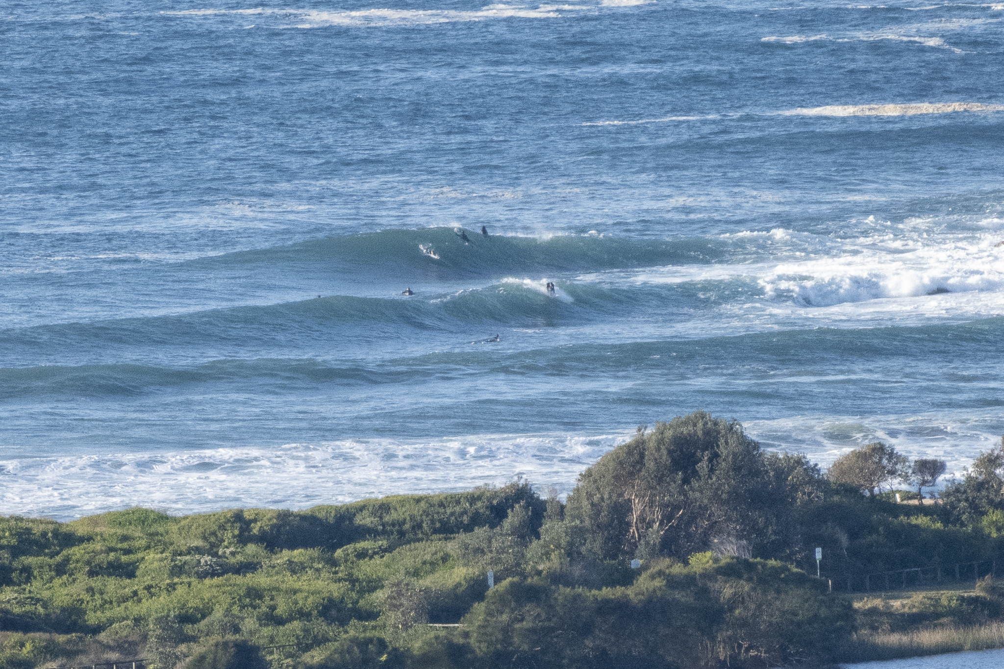
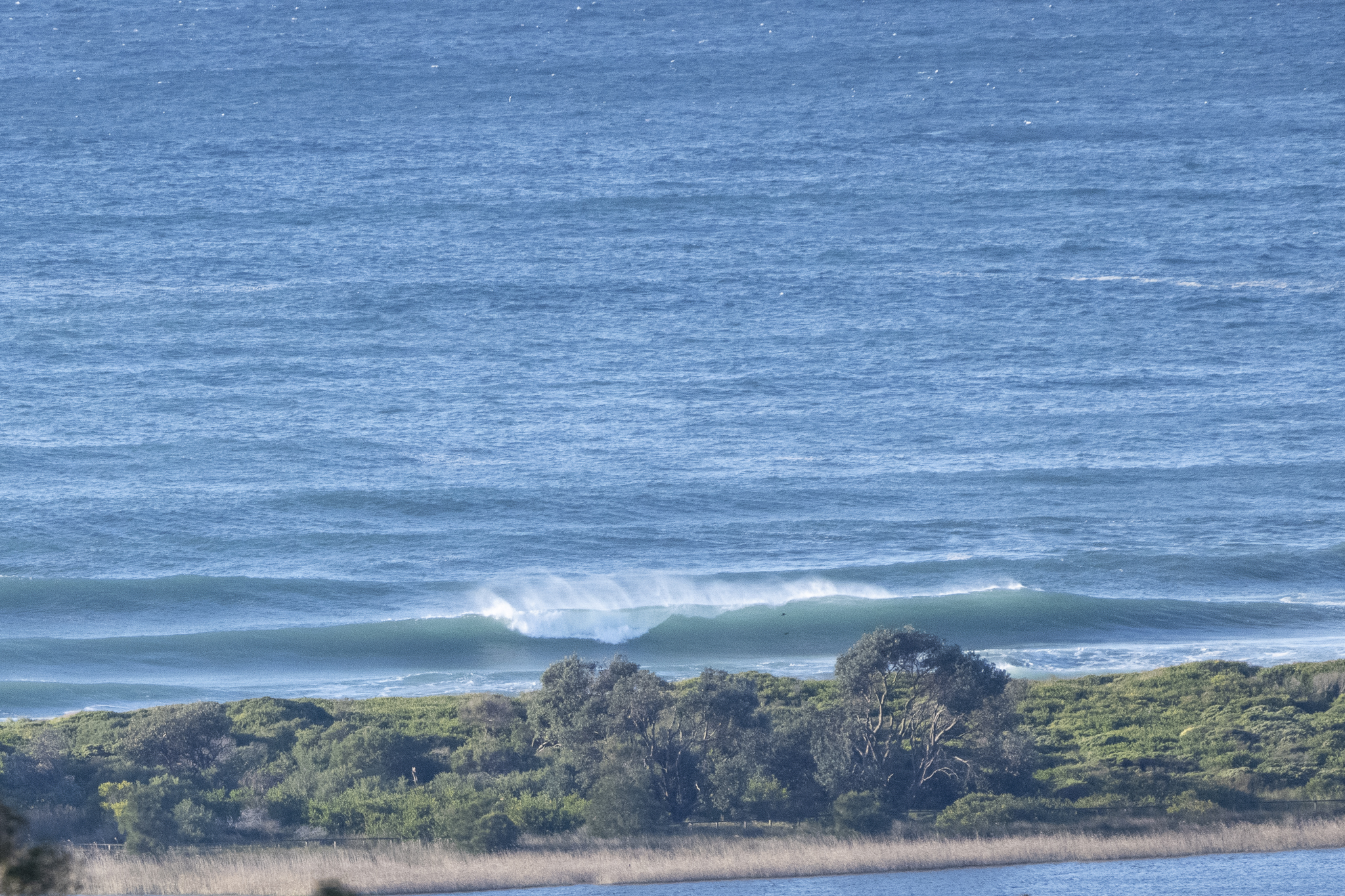
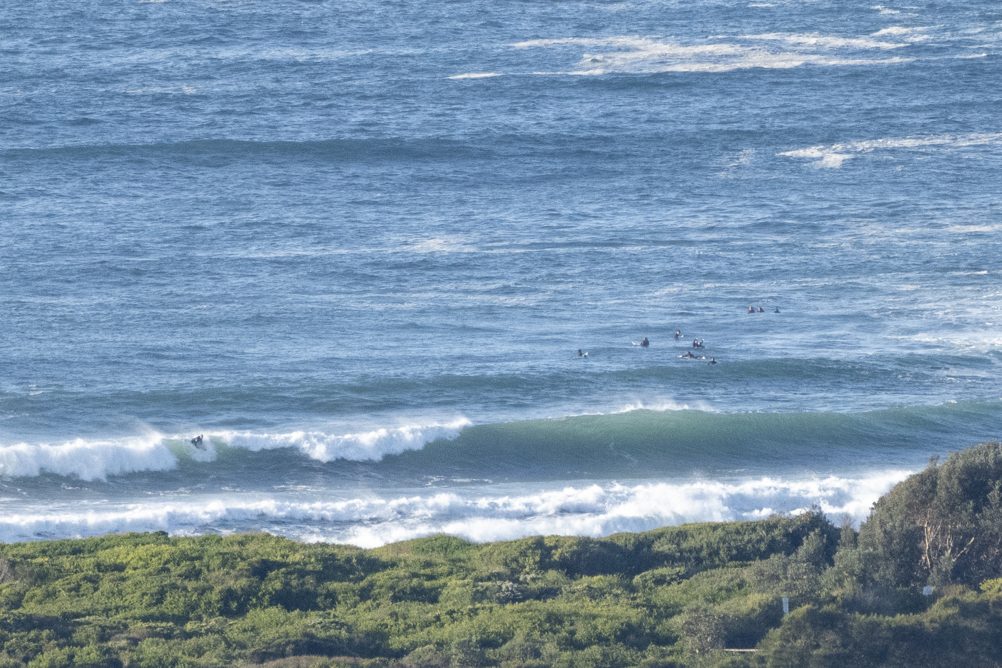
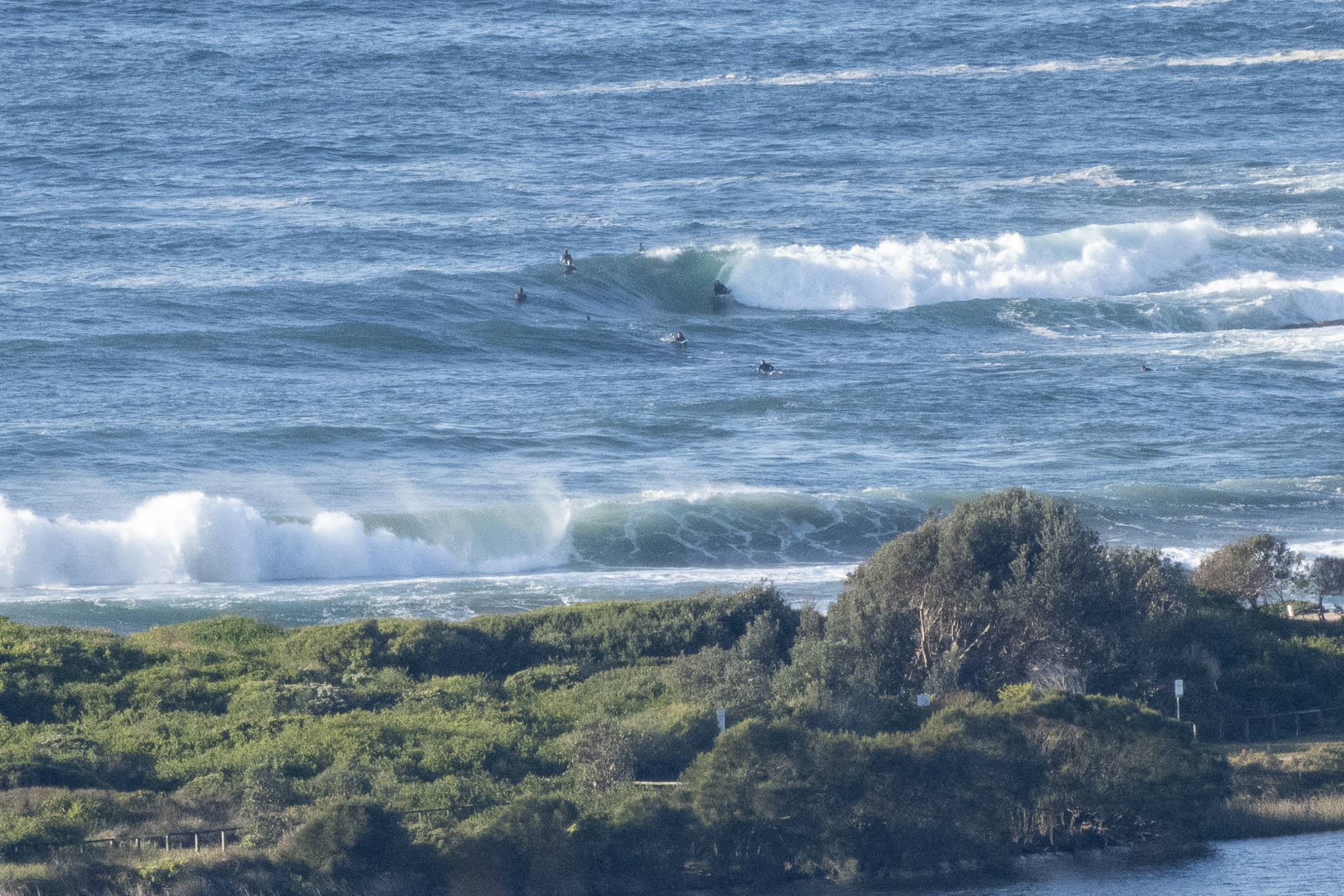
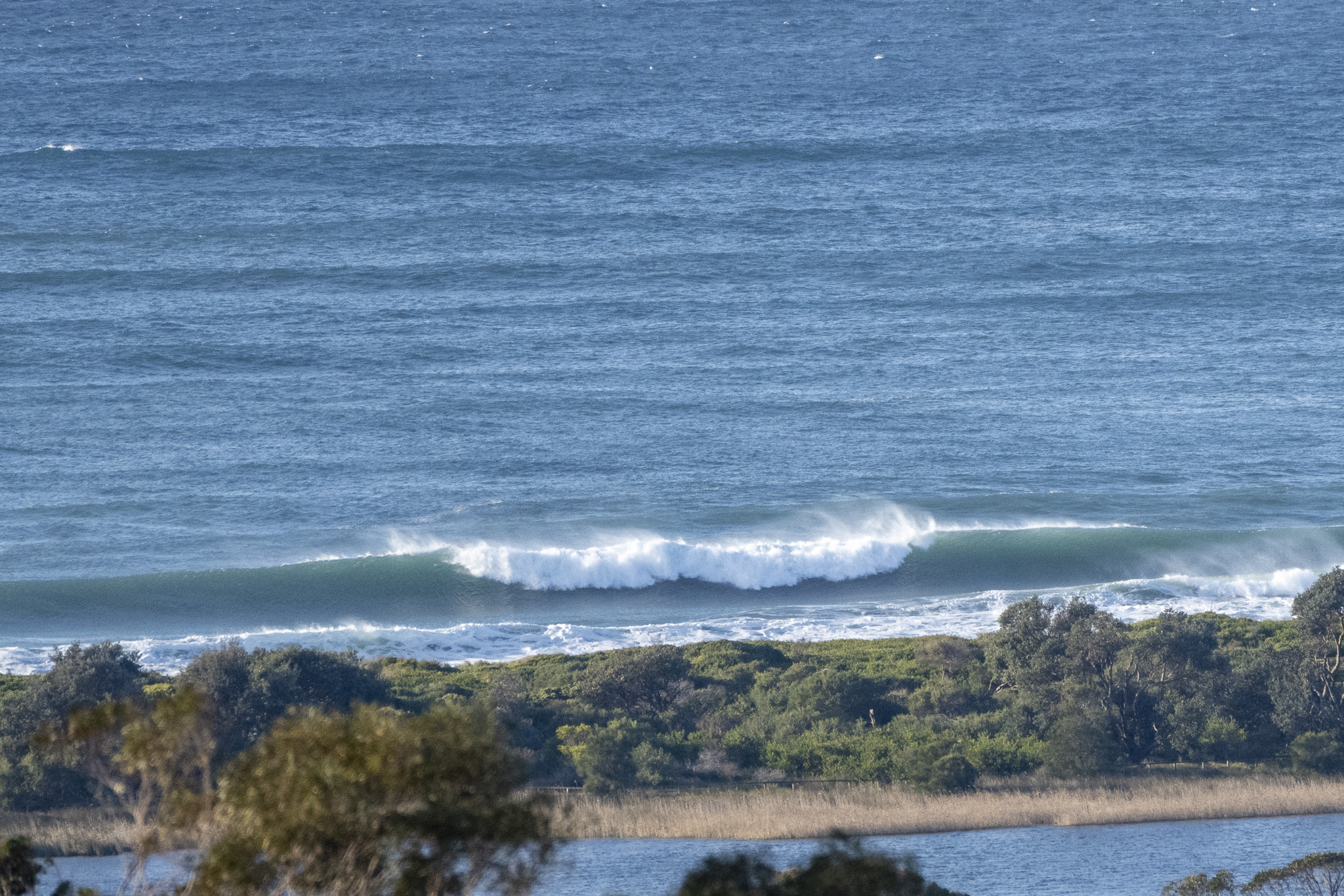
Lovely Antarctic blast of cold this morning. It was around 8C when I grabbed the snaps at 0745 and the wind was powering along at 13-19 kts from the west. As you can see, the swell’s come up in line with expectations. Out at sea it was 3.7 metres at 11 seconds and dead south. Where Dee Why’s concerned, that means the brunt of the energy is being felt up the beach toward Longy. But while the biggest stuff is mostly missing the point, the hardy crew were scoring shoulder to head high wave faces.
Tide was a modest 1.2 m high at 0635 and is currently dropping back to the 0.6m low at noon. Weather should be mostly sunny, with a high of 17C. Ocean is on 18C and clean.
Outlook is for the wind to go more SW and pick up into the 20-30 kt range this morning before easing off a touch this afternoon, Swell’s set to fade at the same time, but should be in the 2+ metre range all day. Tomorrow and Friday look like being a bit smaller, but still in the 2 metre range. Thursday’s set to have SW wind, but Friday the call is for it to go south. At the same time the weather is predicted to get showery again.
Stay warm and go well!
Weather Situation
A low pressure system is currently centred over the northern coastal waters, bringing a period of large swells and a surge of strong winds to central and northern parts of the coast. The low will move away to the east during today, with winds forecast to ease into Thursday as a high pressure system extends a ridge from the west. This high will be the dominant feature in the region for the remainder of the week.
Forecast for Wednesday until midnight
Gale Warning for Wednesday for Sydney Coast
- Winds
- Southwesterly 20 to 30 knots, reaching up to 35 knots offshore in the morning. Winds decreasing to 15 to 25 knots in the late afternoon.
- Seas
- 2.5 to 4 metres, decreasing below 2 metres by early evening.
- Swell
- Southerly 3 to 4 metres, decreasing to 2 to 3 metres during the morning.
- Weather
- Partly cloudy. 95% chance of showers offshore, 60% chance elsewhere.
- Caution
- Large and powerful surf conditions are expected to be hazardous for coastal activities such as crossing bars by boat and rock fishing.
Thursday 25 August
- Winds
- West to southwesterly 15 to 20 knots tending south to southwesterly 15 to 25 knots during the morning and early afternoon.
- Seas
- 1 to 2 metres.
- Swell
- Southerly 1.5 to 2.5 metres.
- Weather
- Becoming cloudy. 80% chance of showers.
Friday 26 August
- Winds
- Southerly 15 to 25 knots.
- Seas
- 1 to 2 metres, decreasing to 1 metre during the afternoon or evening.
- Swell
- Southerly 2 to 2.5 metres.
- Weather
- Partly cloudy. 90% chance of showers.


