Hello Friends,
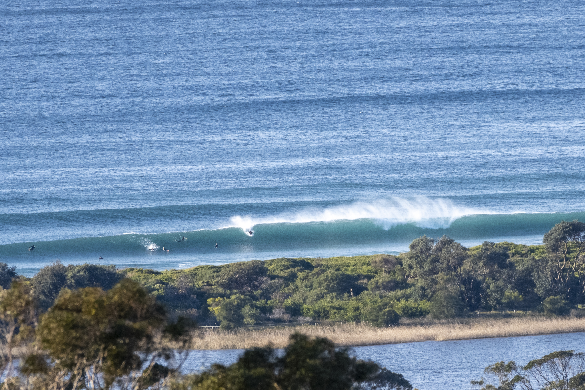
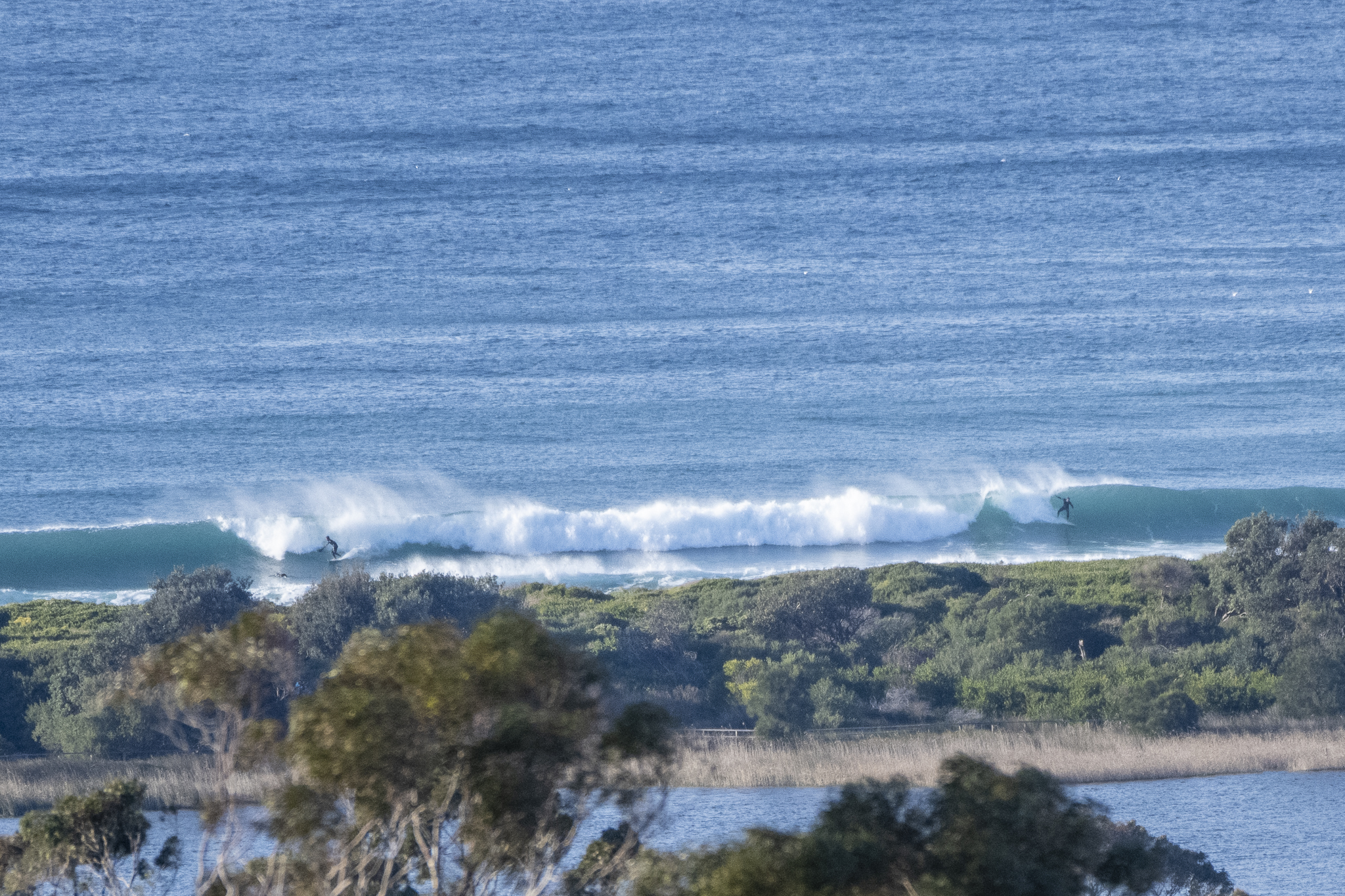
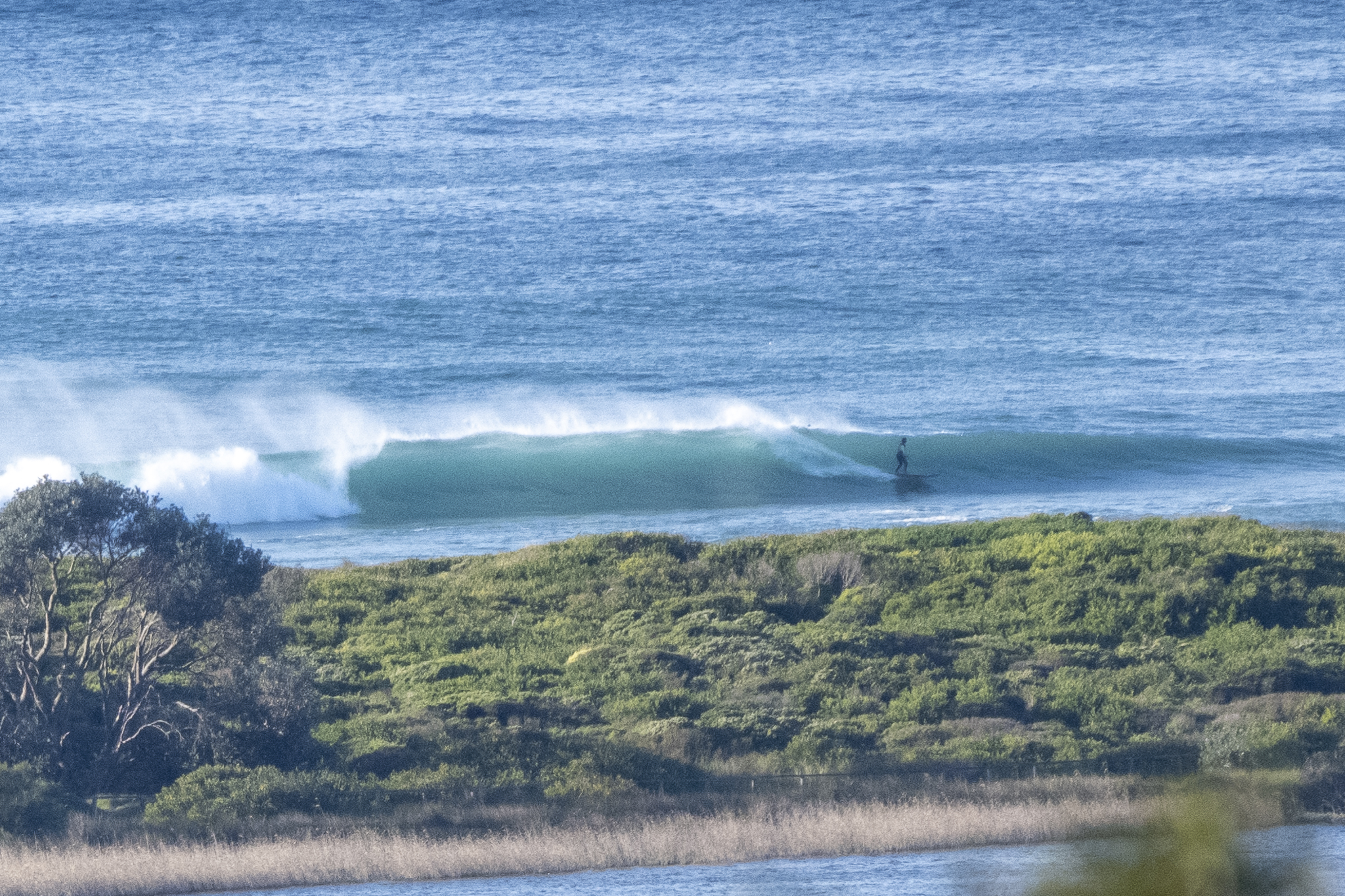
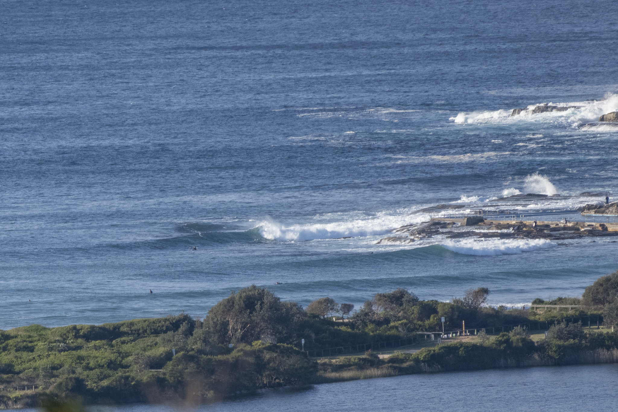
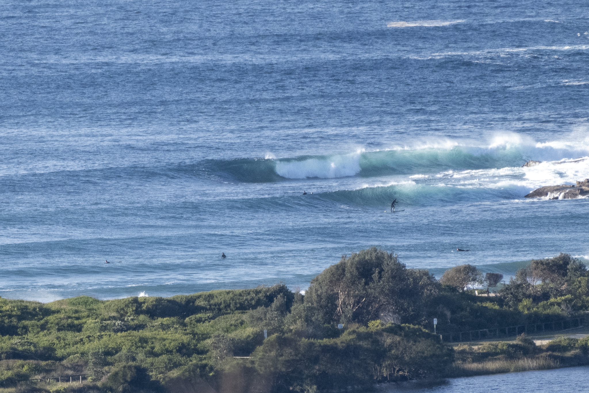
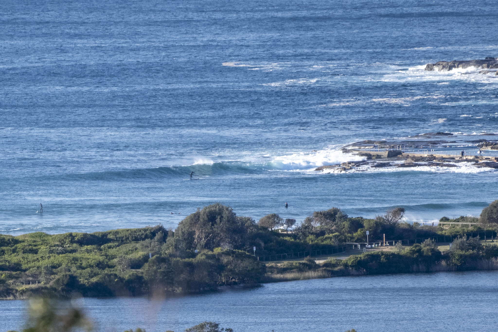
A get out there if you can start to the day at Dee Why. Chilly, but sunny and offshore thanks to 11-15 kts of west wind. Set wave faces were head and a bit high on the bigger ones too thanks to a 2 metre SSE (161°), 9-10 sec swell. Tide hit a moderate 1.26 m high at 0715 and is currently dropping back to a 0.5 m low at 1245 – so not much of a swing.
Swell’s expected to dial back a touch across the day, but the more hopeful models see it maybe sticking around into tomorrow morning – albeit with a shorter period and therefore noticeably smaller and weaker sets. Beyond that it would seem we’re in for a stretch of tiny to near flat conditions across next week.
Go well and have yourself a top old day!
Weather Situation
A high pressure system in the Great Australian Bight is extending a ridge into New South Wales. A cold front will clip the state’s southeast early today. A high pressure centre will develop over the Southern Tasman Sea during Friday and Saturday, with coastal winds gradually shifting northerly through the weekend.
Forecast for Thursday until midnight
- Winds
- West to southwesterly 15 to 20 knots tending south to southwesterly 15 to 25 knots early in the afternoon.
- Seas
- 1 to 1.5 metres, increasing to 1.5 to 2 metres by early evening.
- Swell
- Southerly 1.5 to 2.5 metres.
- Weather
- Partly cloudy. 80% chance of showers.
Friday 26 August
- Winds
- Southerly 20 to 25 knots turning southeasterly 10 to 15 knots in the late evening.
- Seas
- 1 to 2 metres, decreasing to 1 metre by the early evening.
- Swell
- Southerly 1.5 to 2 metres.
- Weather
- Partly cloudy. 90% chance of showers.
Saturday 27 August
- Winds
- Southeasterly 10 to 15 knots turning easterly during the day.
- Seas
- Below 1 metre.
- Swell
- Southerly 1 to 1.5 metres, decreasing to around 1 metre during the evening.
- Weather
- Partly cloudy. 80% chance of showers.


