
Hello Friends,
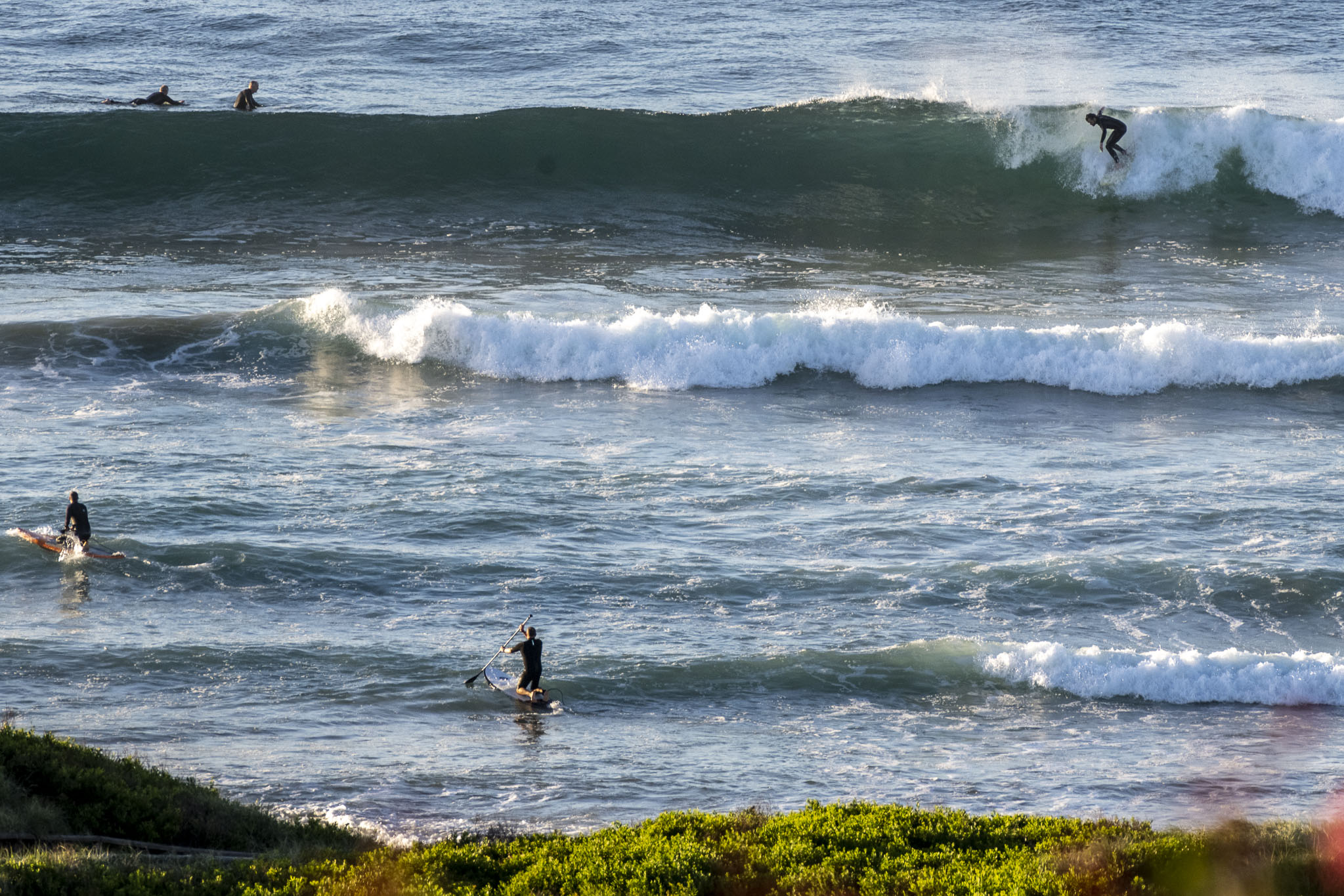
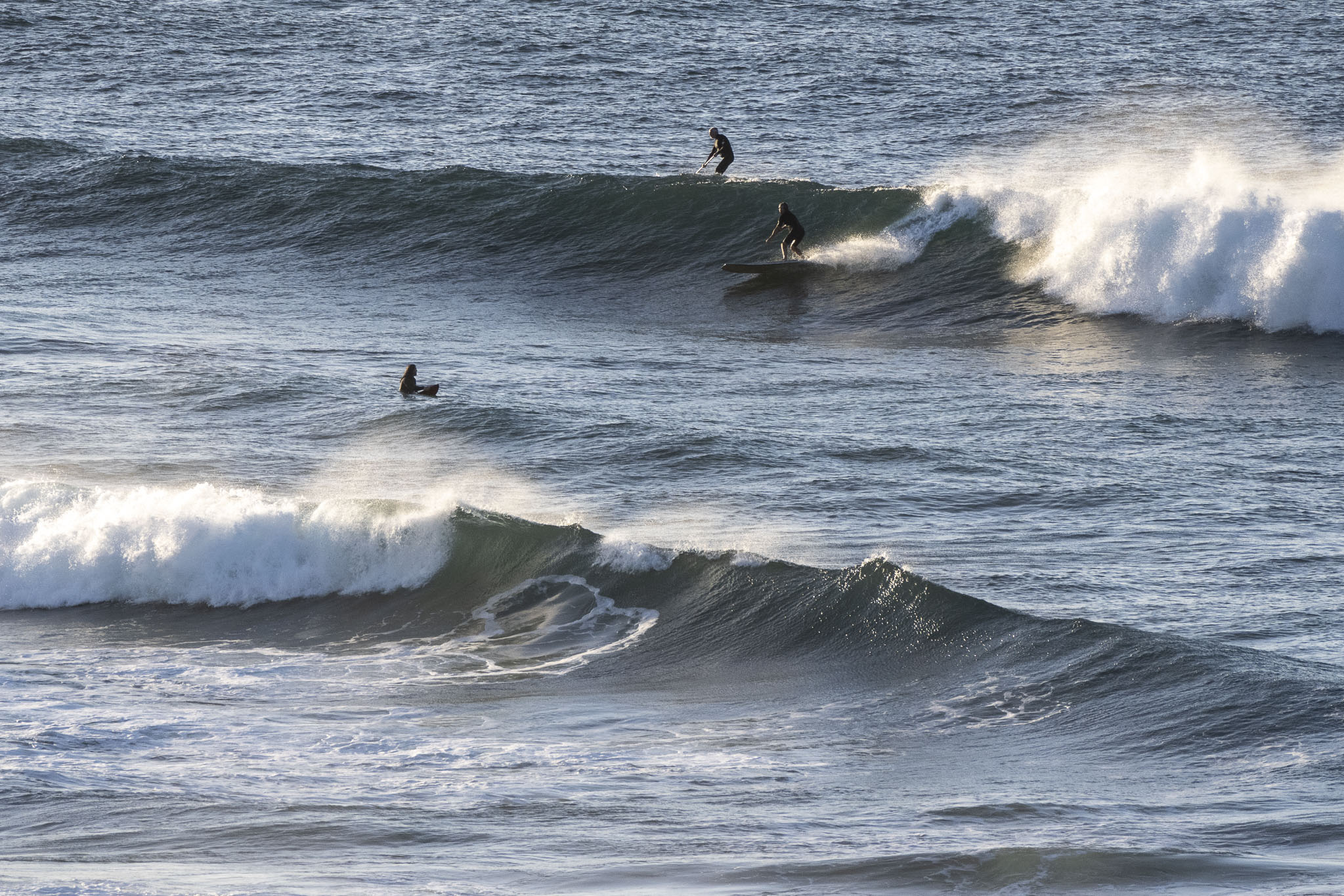
Perfect conditions for a wave this morning. Swell was 1.6 metres at 11 seconds from the SE. This meant waves in the waist to chest range in semi-proteced corners like Dee Why, to shoulder to head high plus on the bombs at north ends like Longy. Skies were sunny and the breeze was coming from the west at 7-9 kts as of 0700. Tide was dropping to the low at 1040. The ocean is 22 and cleaner the further north you get from the ‘pollution possible’ rated waters of Manly.
Of course, the better spots are busy, but that’s a given under the circumstances, so just pack the right attitude and go for a splash.


Weather Situation
A weak high pressure system lies over the state’s far northeast. Northerly winds are expected to increase during Sunday ahead of the passage of a cold front, bringing fresh a southwesterly change later in the day, reaching the far north early on Monday.
Forecast for Saturday until midnight
- Winds
- Variable about 10 knots becoming northerly 15 to 20 knots in the early afternoon.
- Seas
- Around 1 metre.
- Swell
- South to southeasterly 1.5 to 2 metres, decreasing to 1.5 metres during the morning, then tending southeasterly 1 to 1.5 metres around midday.
- Weather
- Sunny.
Sunday 16 April
- Winds
- Northerly 15 to 20 knots, reaching up to 25 knots offshore during the morning. Winds shifting west to southwesterly in the late afternoon.
- Seas
- 1 to 2 metres.
- Swell
- Southeasterly around 1 metre, increasing to 1 to 1.5 metres during the afternoon, then tending easterly 1.5 metres later in the evening.
- Weather
- Partly cloudy.
Monday 17 April
- Winds
- South to southwesterly 15 to 20 knots increasing to 25 knots before turning southeasterly 10 to 15 knots during the evening.
- Seas
- 1.5 metres, decreasing to 1 metre during the evening.
- 1st Swell
- Southerly below 1 metre, increasing to 1.5 to 2.5 metres during the morning.
- 2nd Swell
- Southeasterly 1.5 metres, tending easterly 1.5 metres during the afternoon.
- Weather
- Partly cloudy.


