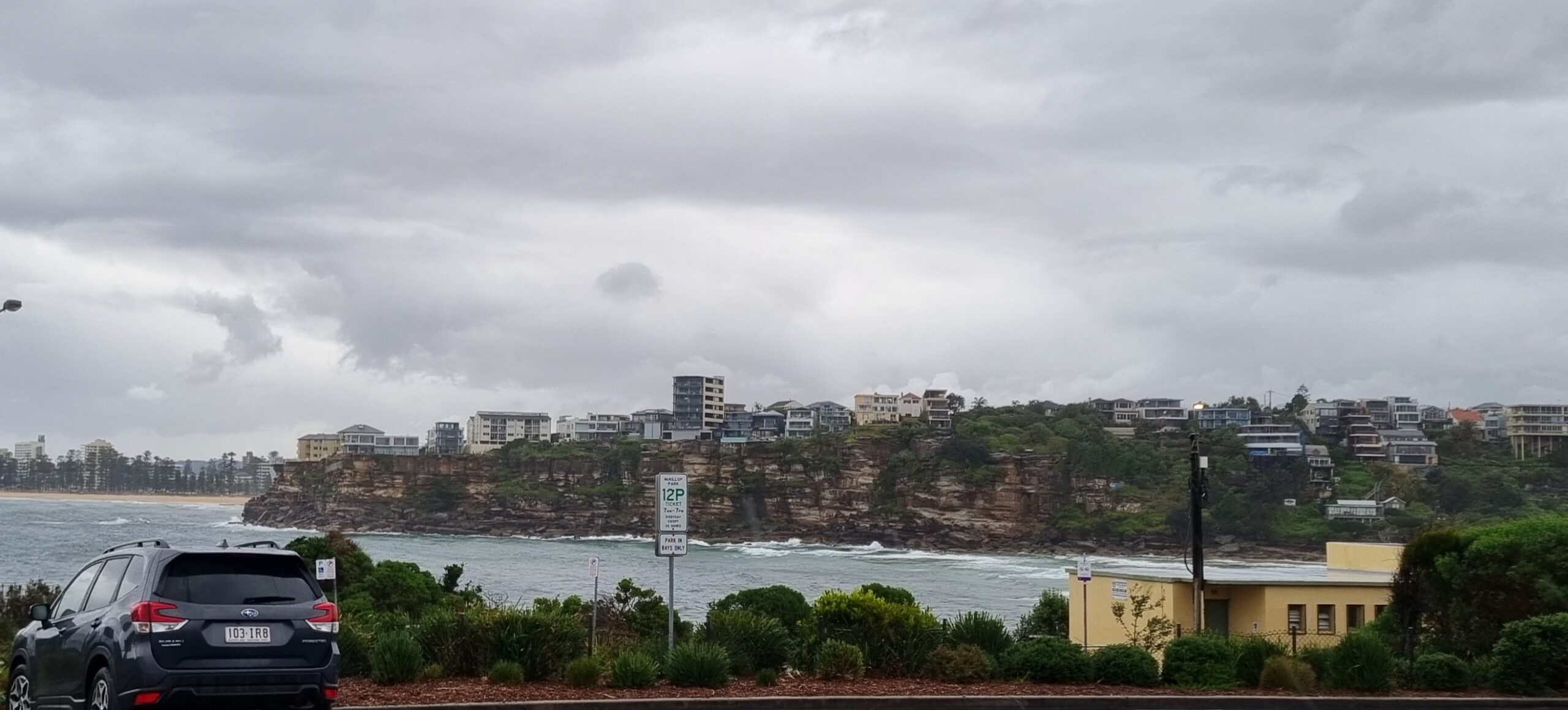
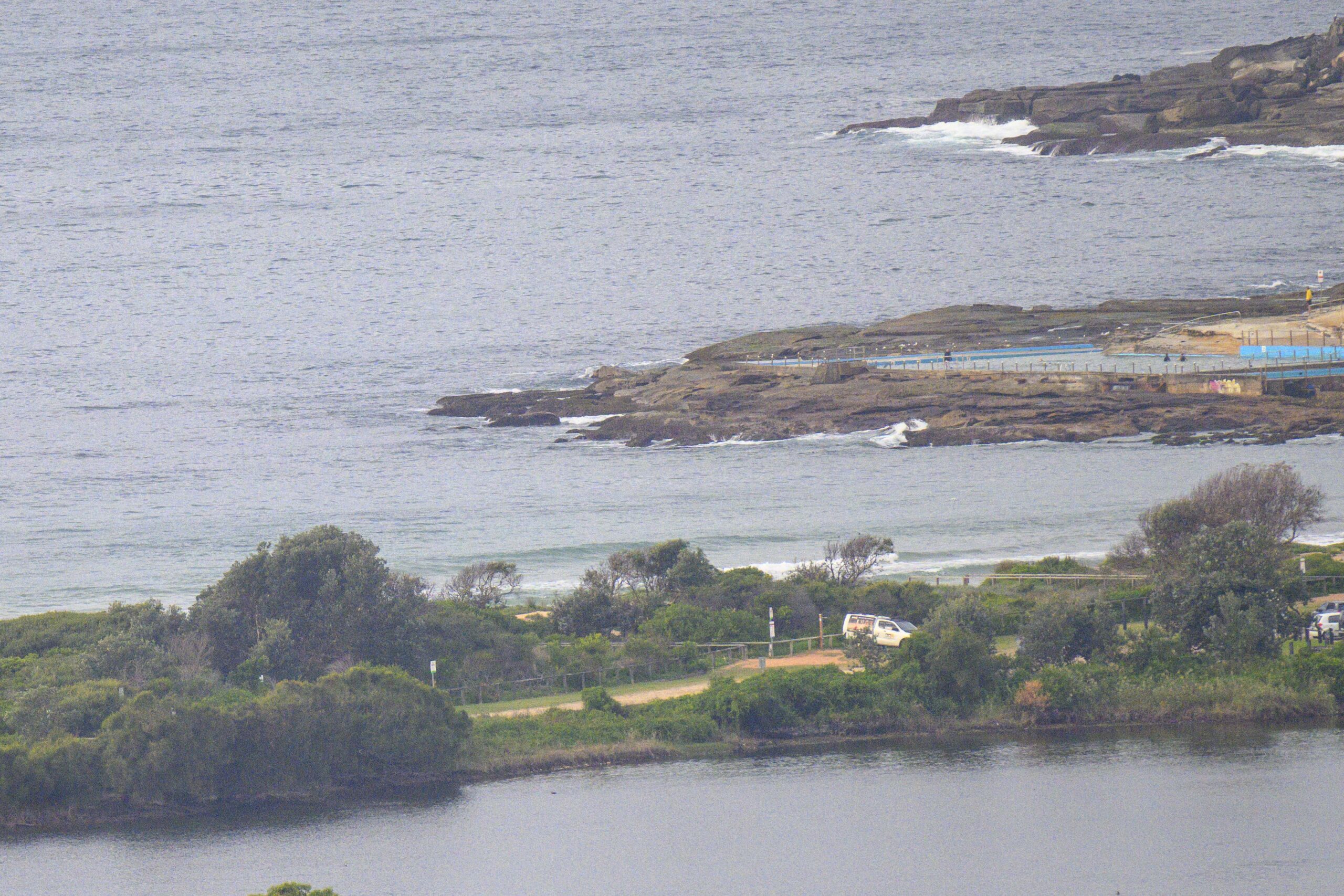
Surf forecast issued Thursday 4 May 2023: Seven day outlook for Sydney
The surf is currently pumping at places that like dead South swell and is not suitable for beginners, unless you can find a spot at one of the sheltered South corners. Otherwise, it’s only for the fit and experienced… And it’s dark right now anyway.
It’ll be a different story tomorrow as a Low down off the far South Coast moves out into the Tasman and takes the swell it generates with it.
Then a coupla days rest, and then it should be up again from another Low expected to develop down South.
Friday: going down somewhere in the 1-2 metre range at dead South spots
Saturday: say around 1 metre or so South East
Sunday: ditto East
Monday: starting to come up again, around say 3-4 metres dead South
Tuesday: Similar
Wednesday: Hmm looks similar
Thursday: Could be say 2-3 ish metres dead South
Stay safe. Know your own limitations and play it safe, especially in the colder weather.
TG
Up in the Air

http://www.bom.gov.au/australia/charts/4day_col.shtml


Winds
https://www.windy.com/-33.850/151.220?-34.368,151.221,8,m:cIKaknd
Down in the Sea
Water temp at Port Kembla 🙂 is around 23.. which is near enough to us. The Sydney waverider buoy is still on the blink.
Swell direction Thursday evening is S/SSE 3-4 metres at 10.27 seconds

Tides
https://www.nsw.gov.au/sites/default/files/2022-06/NSW-tide-tables-2022-2023-Pdf.pdf
Weather from the Bureau
Forecast issued at 4:20 pm EST on Thursday 4 May 2023.
Forecast for the rest of Thursday
- Summary

- Mostly clear.
- Chance of any rain: 10%

Sydney area
Clear. Light winds.
Sun protection recommended from 10:10 am to 1:30 pm, UV Index predicted to reach 4 [Moderate]
Friday 5 May
- Summary

- Min 10
- Max 22
- Sunny.
- Chance of any rain: 20%

Sydney area
Mostly sunny. The chance of morning fog in the west. Slight chance of a shower along the coastal fringe, near zero chance elsewhere. Light winds becoming northeasterly 15 to 20 km/h in the late afternoon then becoming light in the evening.
Sun protection recommended from 10:20 am to 1:20 pm, UV Index predicted to reach 3 [Moderate]
Saturday 6 May
- Summary

- Min 9
- Max 22
- Sunny.
- Chance of any rain: 5%

Sydney area
Sunny. Light winds.
Sun protection recommended from 10:20 am to 1:20 pm, UV Index predicted to reach 3 [Moderate]
Sunday 7 May
- Summary

- Min 10
- Max 18
- Shower or two.
- Possible rainfall: 0 to 1 mm
- Chance of any rain: 60%

Sydney area
Partly cloudy. Medium chance of showers along the coastal fringe, slight chance elsewhere. Light winds becoming west to southwesterly 15 to 25 km/h during the morning.
Sun protection recommended from 10:50 am to 12:40 pm, UV Index predicted to reach 3 [Moderate]
Monday 8 May
- Summary

- Min 8
- Max 18
- Mostly sunny.
- Chance of any rain: 10%

Sydney area
Mostly sunny. Winds southwesterly 20 to 30 km/h.
Tuesday 9 May
- Summary

- Min 10
- Max 20
- Partly cloudy.
- Chance of any rain: 20%

Sydney area
Mostly sunny. Winds southwesterly 15 to 25 km/h.
Wednesday 10 May
- Summary

- Min 11
- Max 20
- Shower or two.
- Possible rainfall: 0 to 1 mm
- Chance of any rain: 50%

Sydney area
Partly cloudy. Slight chance of a shower. Winds south to southwesterly 20 to 30 km/h.
Thursday 11 May
- Summary

- Min 11
- Max 20
- Shower or two.
- Possible rainfall: 0 to 1 mm
- Chance of any rain: 50%

Sydney area
Mostly sunny. Slight chance of a shower. Light winds becoming southerly 15 to 20 km/h during the day.


