TG’s Surf Forecast
Surf forecast issued Thursday 18 May 2023: Seven day outlook for Sydney
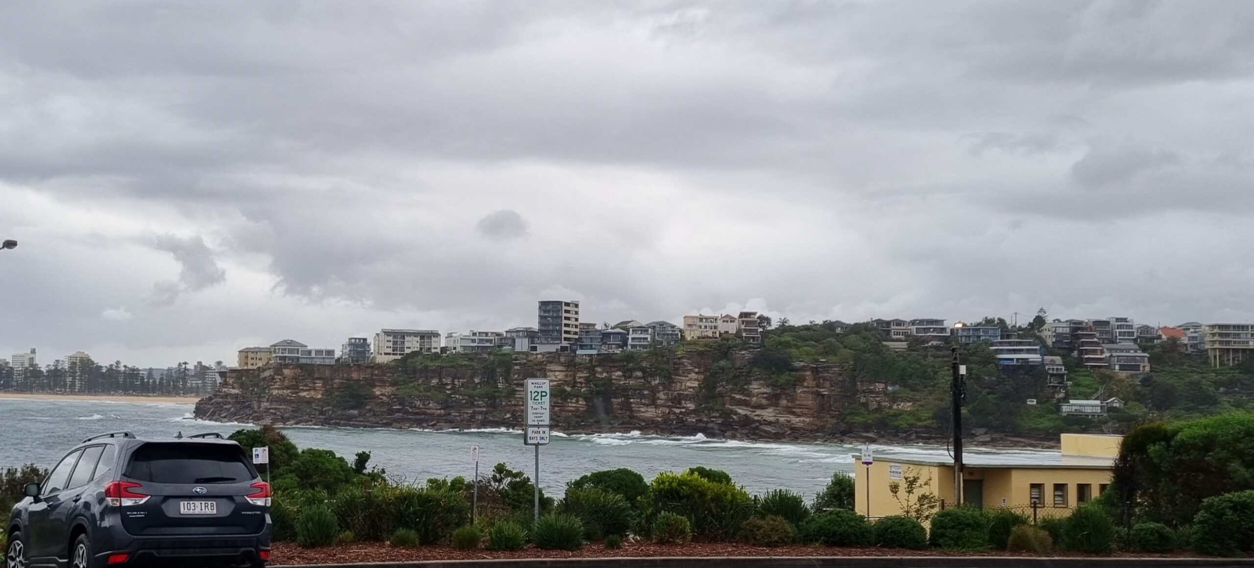
Feeling the cold wind at places exposed to it today, I’m convinced that some people have no feelings, or have ice in their veins.
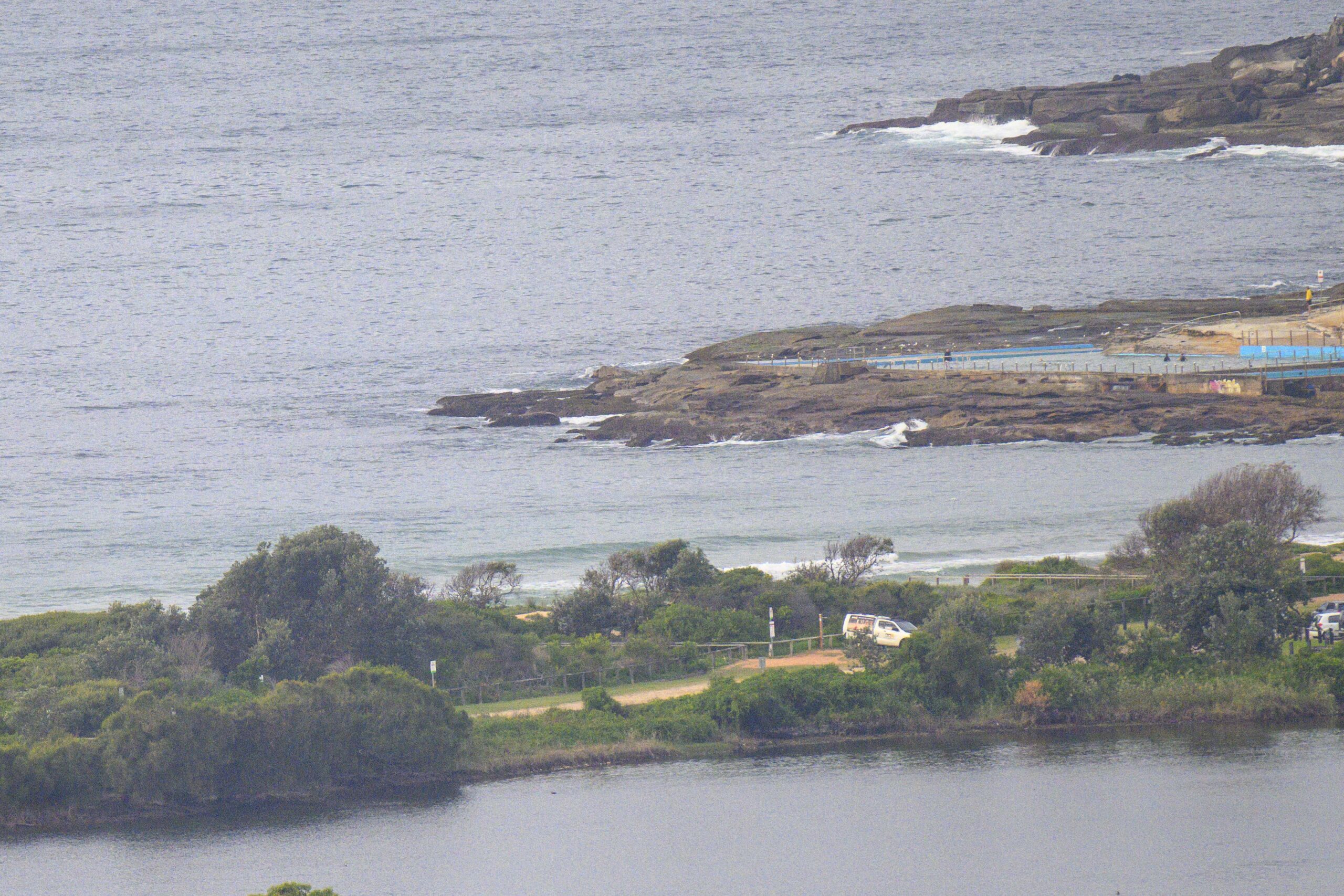
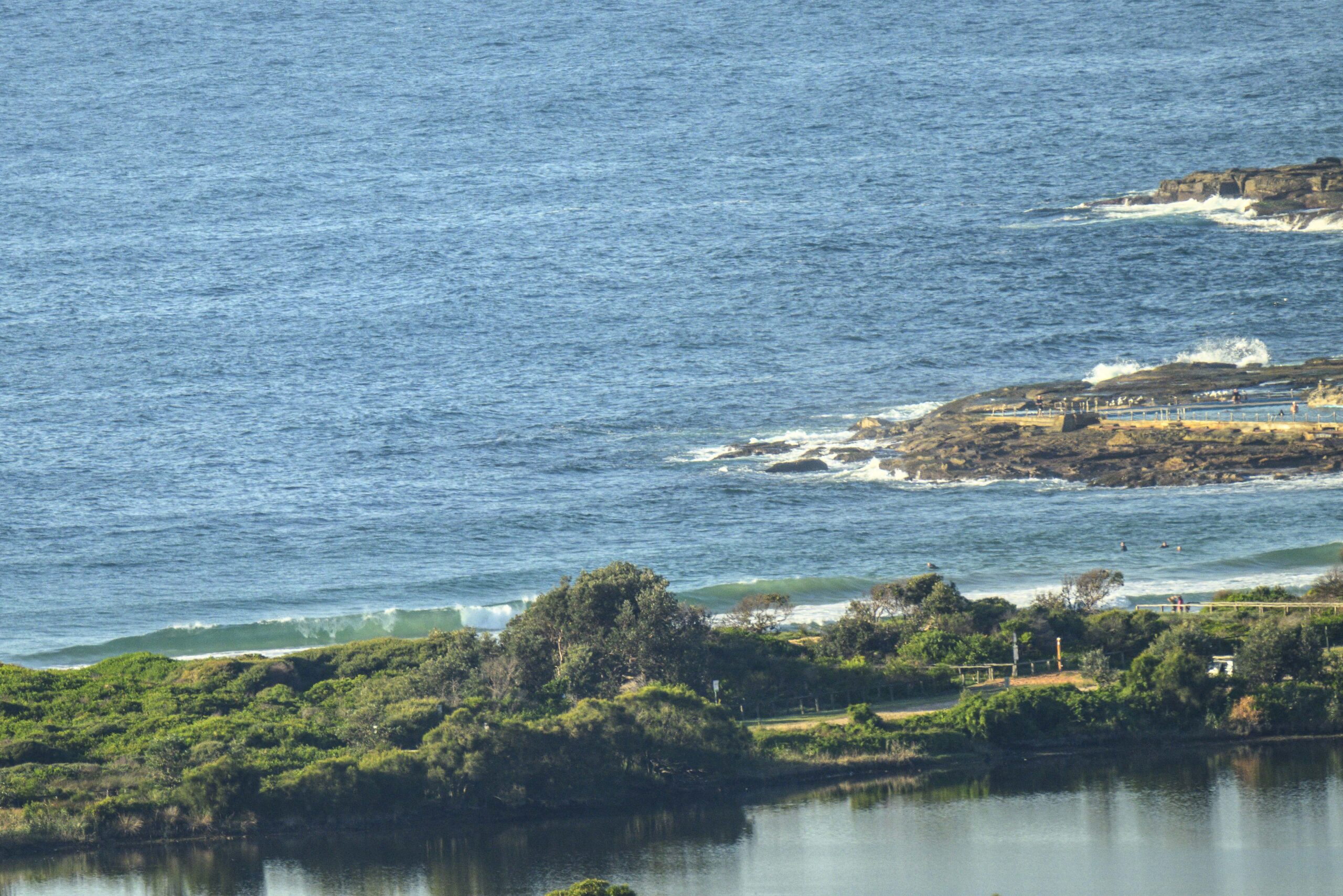
While I was sensibly wearing multi-layers of insulation, I saw two punters (two only) – good riders – clearly enjoying 2 metre close outs that involved a steep late take off, followed by a wall for a blink, then a swallow up in the churned sand waves.
Wind? What wind ….
Cold?? No idea what you mean…
And they kept doing it to themselves, time and again.
I could only relate to it by thinking that they must have felt really good when they stopped doing it!
TG was wearing a horse rug and still complained about the cold.
He says the surf outlook is
Friday: around 2 ish metres at places open the dead South swell, or a little less
Saturday: upper end of the 1-2 metre range South East
Sunday: down a bit in the 1-2 metre range South East before starting to come up with SSW swell
Monday: somewhere in the 2-3 metre range at places open to dead South
Tuesday: 1.5 – 2 metres dead South places
Wednesday: down, around 1 – 1+metres dead South
Thursday: dittoish.
Stay well.
TG.
Up in the Air

http://www.bom.gov.au/australia/charts/4day_col.shtml


Winds
https://www.windy.com/-33.850/151.220?2023052309,-34.368,151.221,8,m:cIKaknd
Down in the Sea
Water temp is around 21

Tides
https://www.nsw.gov.au/sites/default/files/2022-06/NSW-tide-tables-2022-2023-Pdf.pdf
Weather from the Bureau
Forecast issued at 4:44 pm EST on Thursday 18 May 2023.
Forecast for the rest of Thursday
- Summary

- Partly cloudy.
- Chance of any rain: 30%

Sydney area
Partly cloudy. Slight chance of a shower. Winds southerly 15 to 25 km/h turning southwesterly 15 to 20 km/h in the evening.
Sun protection not recommended, UV Index predicted to reach 2 [Low]
Friday 19 May
- Summary

- Min 9
- Max 19
- Sunny.
- Chance of any rain: 10%

Sydney area
Sunny. Winds southwesterly 15 to 20 km/h becoming light early in the morning.
Fire Danger – No Rating
Sun protection recommended from 11:20 am to 12:20 pm, UV Index predicted to reach 3 [Moderate]
Saturday 20 May
- Summary

- Min 8
- Max 19
- Sunny.
- Chance of any rain: 0%

Sydney area
Sunny. The chance of morning frost in the west. Light winds becoming westerly 15 to 20 km/h in the early afternoon then becoming light in the evening.
Sun protection recommended from 11:10 am to 12:20 pm, UV Index predicted to reach 3 [Moderate]
Sunday 21 May
- Summary

- Min 9
- Max 20
- Partly cloudy.
- Chance of any rain: 5%

Sydney area
Cloud clearing. Light winds becoming west to northwesterly 15 to 25 km/h during the morning then tending west to southwesterly 20 to 30 km/h during the day.
Sun protection not recommended, UV Index predicted to reach 2 [Low]
Monday 22 May
- Summary

- Min 9
- Max 20
- Sunny.
- Chance of any rain: 0%

Sydney area
Sunny. Light winds.
Tuesday 23 May
- Summary

- Min 8
- Max 20
- Sunny.
- Chance of any rain: 0%

Sydney area
Sunny. Light winds.
Wednesday 24 May
- Summary

- Min 8
- Max 21
- Sunny.
- Chance of any rain: 0%

Sydney area
Sunny. Light winds.
Thursday 25 May
- Summary

- Min 9
- Max 22
- Partly cloudy.
- Chance of any rain: 5%

Sydney area
Partly cloudy. Light winds becoming northwesterly 15 to 25 km/h during the morning


