The Goat’s Surf Forecast
Surf forecast issued Thursday 22 June 2023: Seven day outlook for Sydney
TG says he’s back from up north but not really… (??)
I think the cold air is addling his tiny brain.
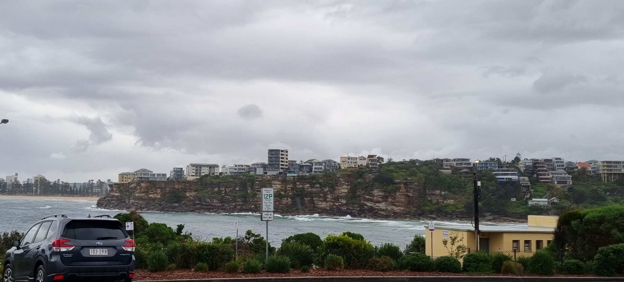
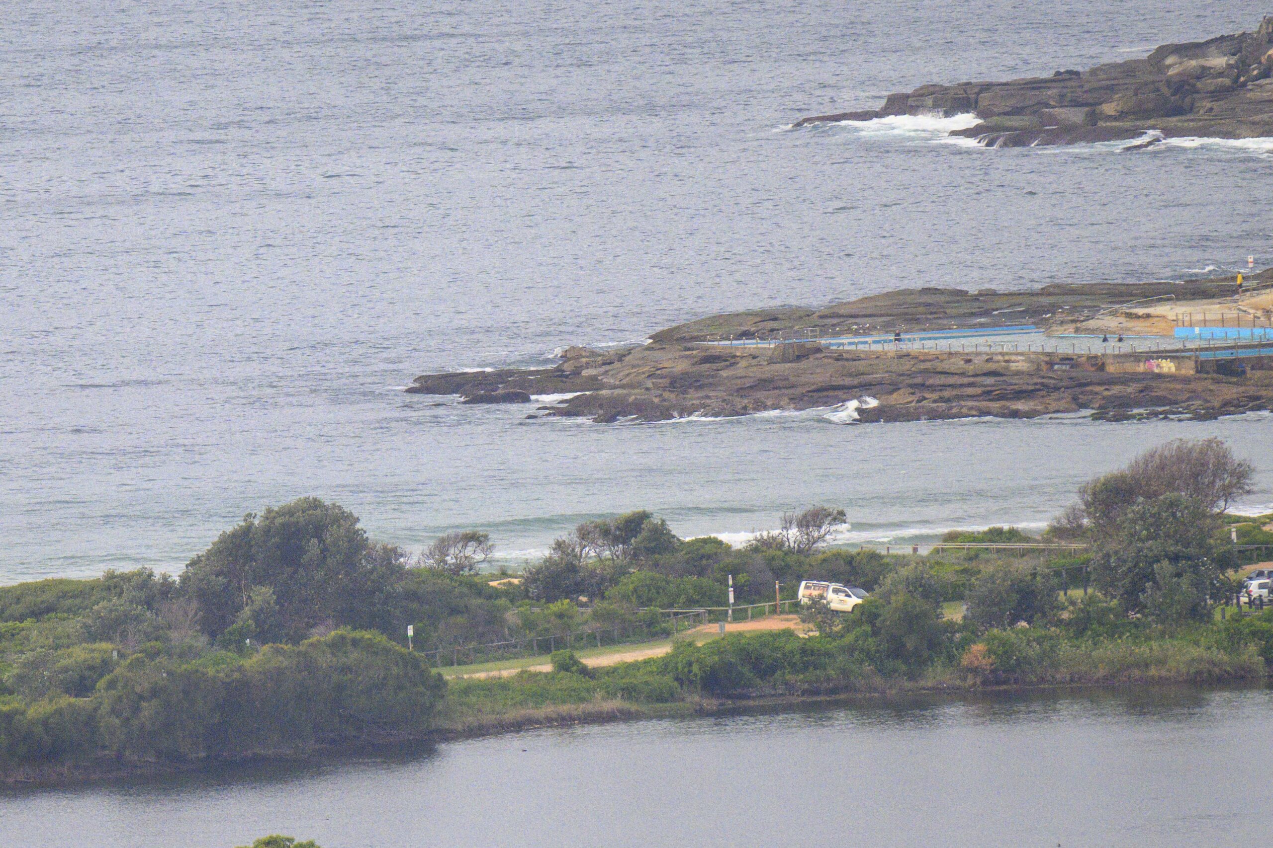
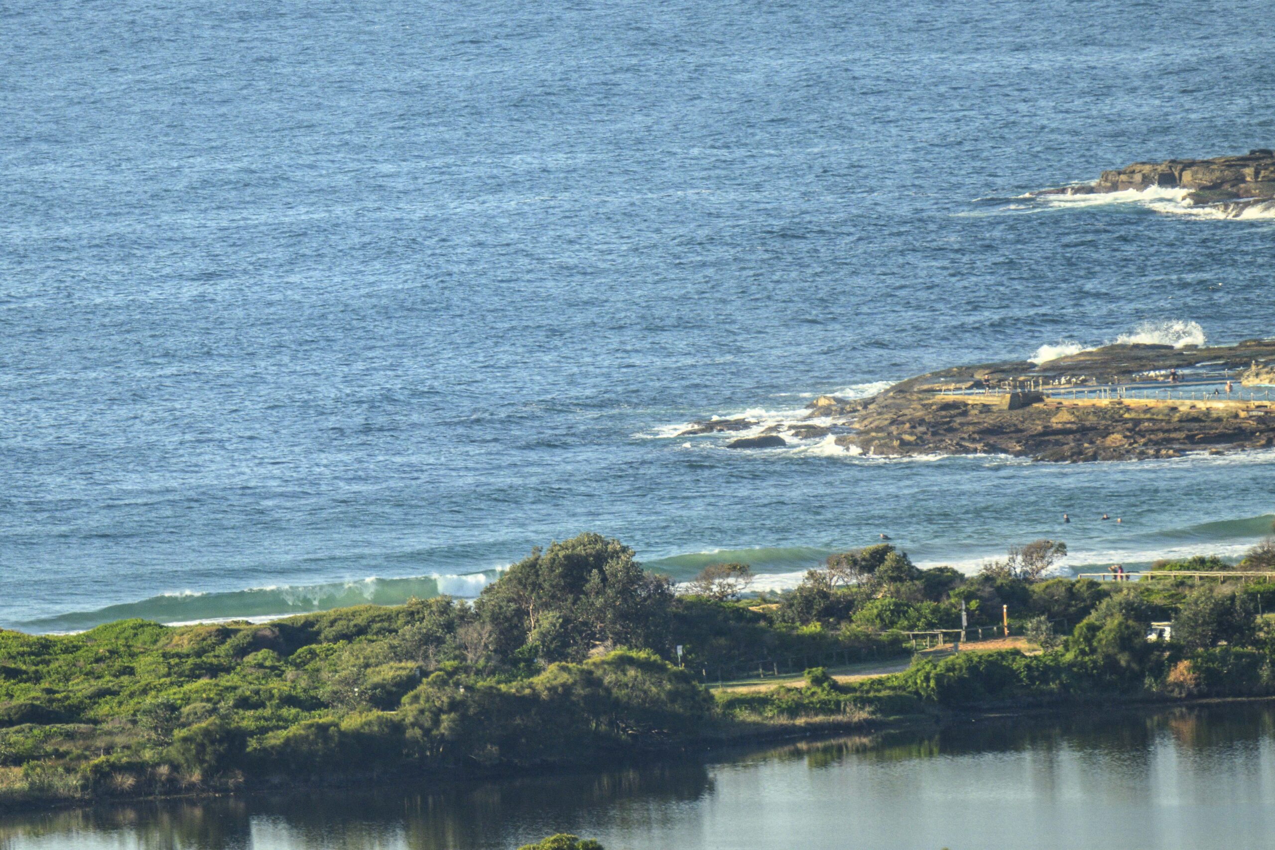
Smallish, about 1 metre or less, and cold today so only those few who don’t have feelings were in the water, according to TG.
Without taxing his brain too much, the surf outlook for the week ahead is not looking very exciting, even for those who don’t get excited and don’t have feelings or aren’t really here>>>
Friday: less than 1 metre from the W/NW wind
Saturday: ditto
Sunday: ditto
Monday: even smaller
Tuesday: starting to come up at places open the dead South swell say into the 1-2 metre range at those places only, but going down again later
Wednesday: around 1-1+ metres dead South spots
Thursday: ditto
Just take it as it comes and Keep Smiling.
TG.
Up in the Air

http://www.bom.gov.au/australia/charts/4day_col.shtml


Winds
https://www.windy.com/-33.850/151.220?-34.368,151.221,8
Down in the Sea
Water temp is around 18.95 ! to be imprecise

Tides
https://www.nsw.gov.au/sites/default/files/2022-06/NSW-tide-tables-2022-2023-Pdf.pdf
Weather from the Bureau
Forecast issued at 4:20 pm EST on Thursday 22 June 2023.
Forecast for the rest of Thursday
- Summary

- Shower or two.
- Chance of any rain: 60%

Sydney area
Cloudy. High chance of showers. Light winds.
Sun protection not recommended, UV Index predicted to reach 2 [Low]
Friday 23 June
- Summary

- Min 10
- Max 18
- Shower or two then sunny.
- Possible rainfall: 0 to 3 mm
- Chance of any rain: 70%

Sydney area
High chance of showers, most likely in the morning. Sunny afternoon. Winds north to northwesterly 15 to 20 km/h tending west to northwesterly 25 to 35 km/h in the middle of the day then becoming light in the late afternoon.
Sun protection not recommended, UV Index predicted to reach 2 [Low]
Saturday 24 June
- Summary

- Min 9
- Max 19
- Mostly sunny.
- Chance of any rain: 0%

Sydney area
Mostly sunny. The chance of morning frost in the outer west. Light winds.
Sun protection not recommended, UV Index predicted to reach 2 [Low]
Sunday 25 June
- Summary

- Min 9
- Max 20
- Sunny.
- Chance of any rain: 0%

Sydney area
Sunny. Patches of morning frost in the west. Winds north to northwesterly 15 to 20 km/h tending west to northwesterly 15 to 25 km/h during the afternoon.
Sun protection not recommended, UV Index predicted to reach 2 [Low]
Monday 26 June
- Summary

- Min 9
- Max 19
- Sunny.
- Chance of any rain: 0%

Sydney area
Mostly sunny. Winds west to northwesterly and light increasing to 15 to 25 km/h during the morning then becoming westerly 25 to 35 km/h during the day.
Tuesday 27 June
- Summary

- Min 9
- Max 18
- Mostly sunny.
- Chance of any rain: 5%

Sydney area
Mostly sunny. Winds westerly 15 to 20 km/h turning southwesterly during the day.
Wednesday 28 June
- Summary

- Min 7
- Max 16
- Partly cloudy.
- Chance of any rain: 20%

Sydney area
Partly cloudy. The chance of morning frost in the outer west. Slight chance of a shower. Light winds.
Thursday 29 June
- Summary

- Min 7
- Max 18
- Partly cloudy.
- Chance of any rain: 20%

Sydney area
Partly cloudy. Patches of morning frost in the outer west. Light winds.


