Surf forecast issued Thursday 5 October 2023
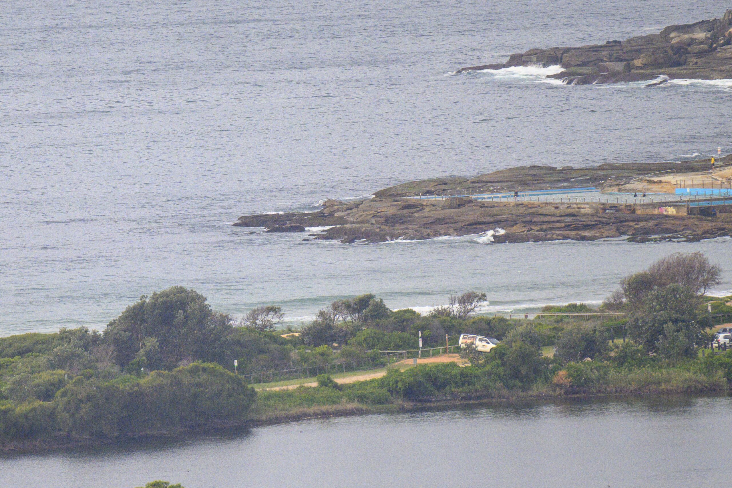
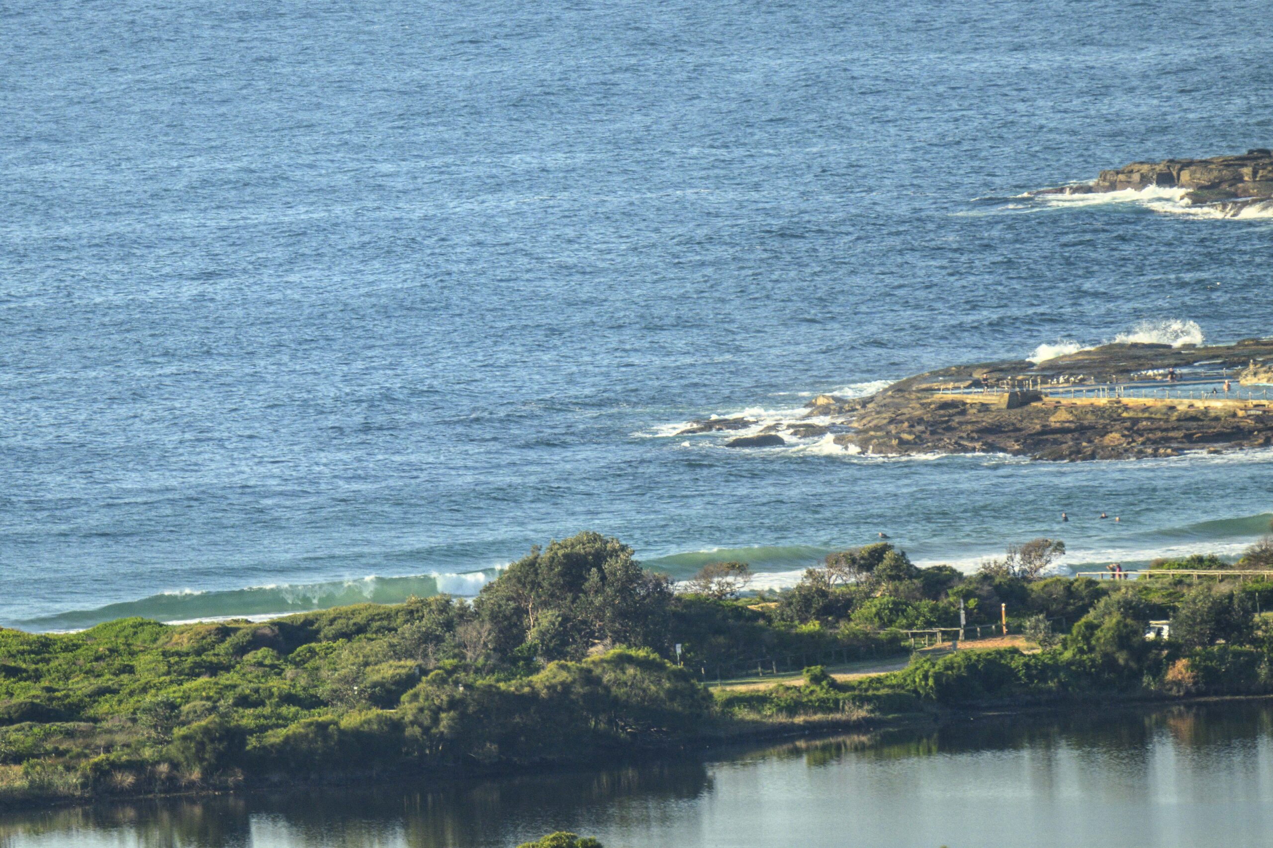
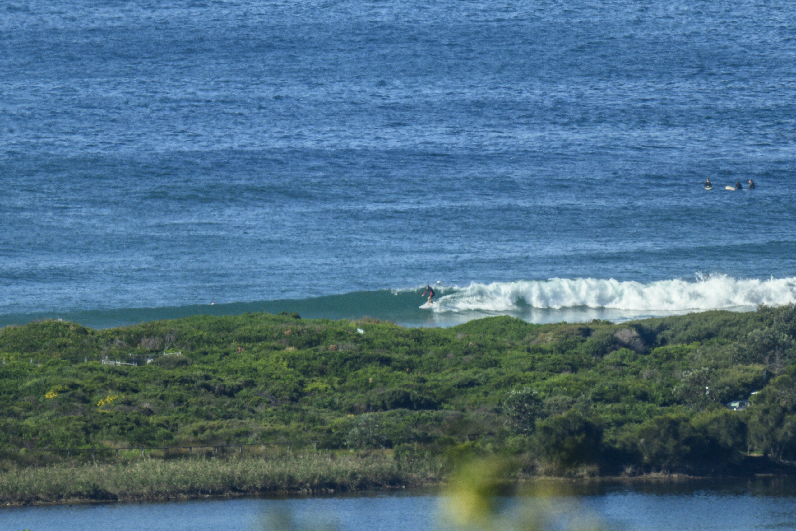
The fresh north/northwest/northeast winds brought up some waves yesterday from the North/North East, which looked quite messy because of the wind. These cleaned up this morning, with the offshore at first helping, but the fresh west/west south west wind knocked size back as the day progressed.
We’ve also had some variety with temperatures this week
From tomorrow, get set for some more variety with the wind and swell direction, and temperatures…
Friday: leftovers at first then starting to come up somewhere in the 1-2 metre range at places open to due South, with southerly wind behind it
Saturday: dittoish
Sunday: somewhere in the 1-2 metre range dead South, messy later
Monday: easing back around 1 – 1+ metres dead South (with the Bureau expecting north/ noreast wind)
Tuesday: ditto waves, messy later
Wednesday: 1-1+ metres South South East
Thursday: dittoish.
TG.
Up in the Air

http://www.bom.gov.au/australia/charts/4day_col.shtml


Winds
https://www.windy.com/-33.850/151.220?-34.373,151.221,8
Down in the Sea
Water temp is around 19 ish

Tides
https://www.nsw.gov.au/sites/default/files/2023-06/nsw_tides_2023%E2%80%932024.pdf
Weather from the Bureau
Forecast issued at 4:20 pm EDT on Thursday 5 October 2023.
Forecast for the rest of Thursday
- Summary

- Clear.
- Chance of any rain: 5%

Sydney area
Clear. Winds westerly 25 to 35 km/h decreasing to 15 to 20 km/h in the evening.
Sun protection recommended from 9:40 am to 3:40 pm, UV Index predicted to reach 6 [High]
Friday 6 October
- Summary

- Min 11
- Max 21
- Possible late shower.
- Possible rainfall: 0 to 1 mm
- Chance of any rain: 40%

Sydney area
Becoming cloudy. Slight chance of a shower. Light winds becoming southerly 25 to 35 km/h in the middle of the day.
Fire Danger – Moderate
Sun protection recommended from 9:30 am to 3:50 pm, UV Index predicted to reach 7 [High]
Saturday 7 October
- Summary

- Min 13
- Max 19
- Partly cloudy.
- Possible rainfall: 0 to 1 mm
- Chance of any rain: 30%

Sydney area
Partly cloudy. Slight chance of a shower along the coastal fringe, near zero chance elsewhere. Winds southerly 20 to 30 km/h tending southeasterly 15 to 25 km/h in the late afternoon then becoming light in the late evening.
Sun protection recommended from 9:40 am to 3:50 pm, UV Index predicted to reach 6 [High]
Sunday 8 October
- Summary

- Min 12
- Max 20
- Partly cloudy.
- Chance of any rain: 20%

Sydney area
Partly cloudy. Slight chance of a shower. Light winds becoming easterly 15 to 20 km/h during the afternoon then becoming light during the evening.
Sun protection recommended from 9:30 am to 3:50 pm, UV Index predicted to reach 7 [High]
Monday 9 October
- Summary

- Min 11
- Max 24
- Sunny.
- Chance of any rain: 5%

Sydney area
Sunny. Light winds becoming northerly 15 to 20 km/h during the day then tending northeasterly 15 to 25 km/h during the afternoon.
Tuesday 10 October
- Summary

- Min 14
- Max 22
- Partly cloudy.
- Possible rainfall: 0 to 1 mm
- Chance of any rain: 30%

Sydney area
Partly cloudy. Medium chance of showers. Light winds becoming southeasterly 15 to 20 km/h during the day.
Wednesday 11 October
- Summary

- Min 14
- Max 23
- Mostly sunny.
- Chance of any rain: 20%

Sydney area
Partly cloudy. Light winds becoming easterly 15 to 25 km/h during the day.
Thursday 12 October
- Summary

- Min 14
- Max 28
- Sunny.
- Chance of any rain: 10%

Sydney area
Sunny. Winds north to northwesterly 15 to 20 km/h tending north to northeasterly 15 to 25 km/h during the day.


