Surf forecast issued Thursday 12 October 2023: Seven day outlook for Sydney
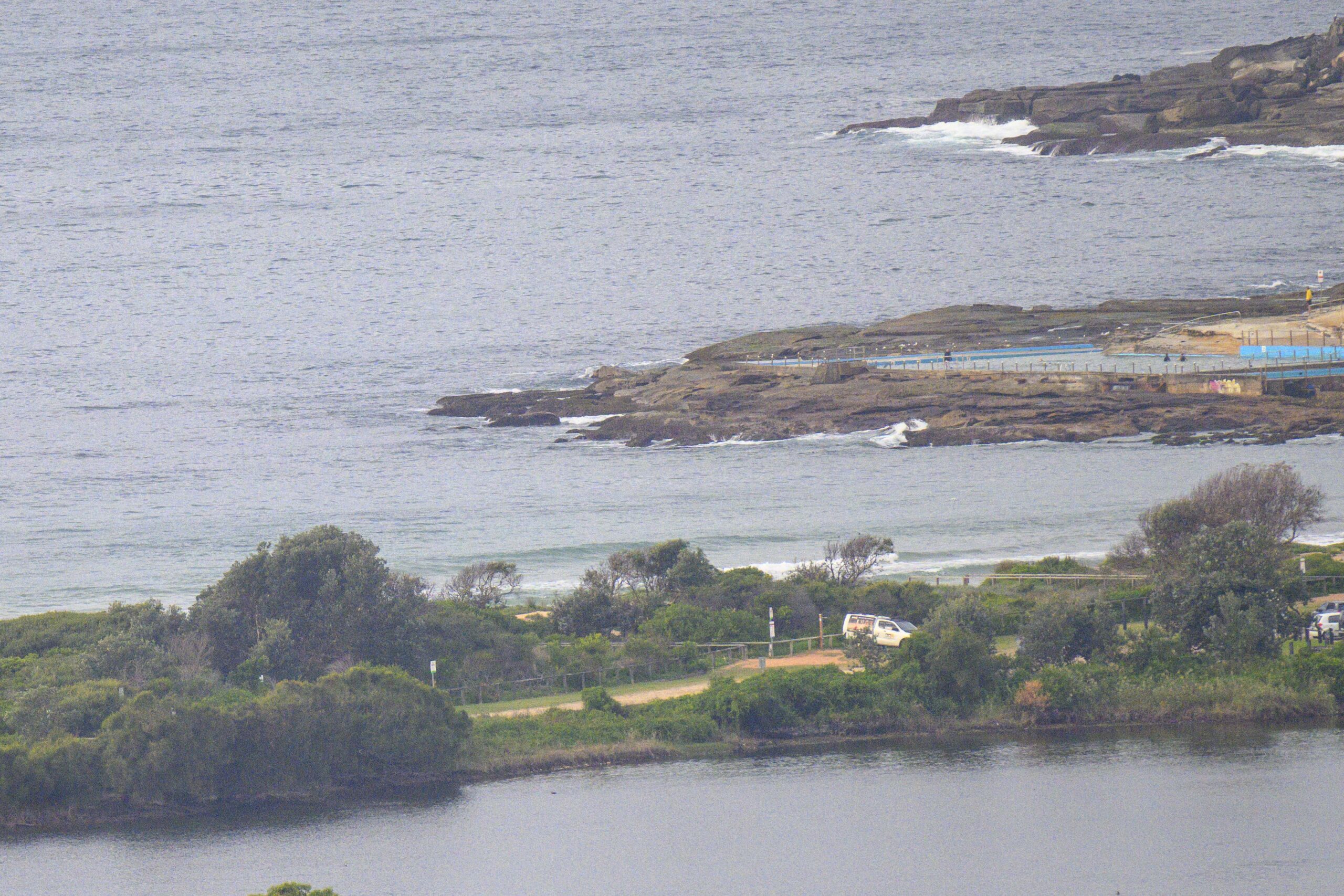
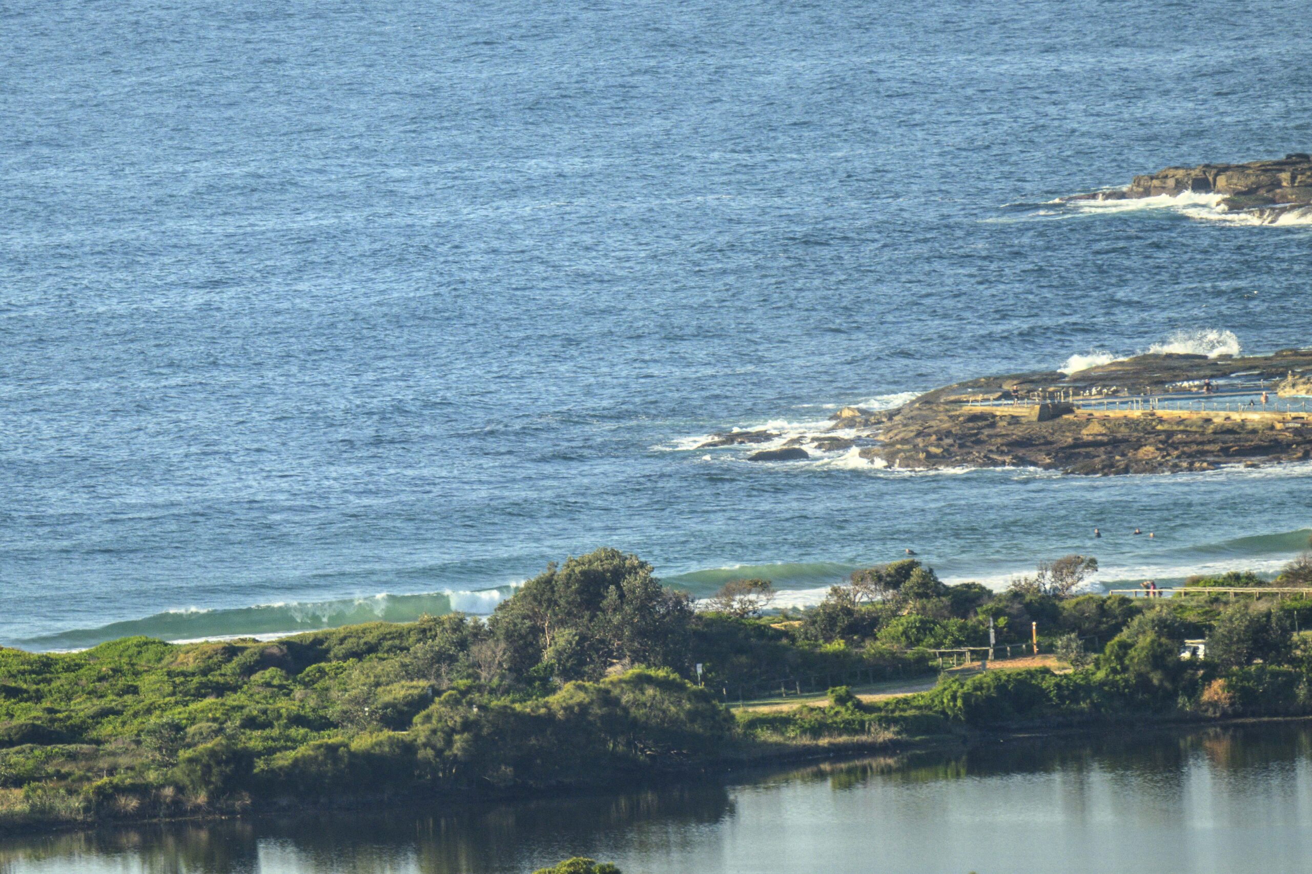
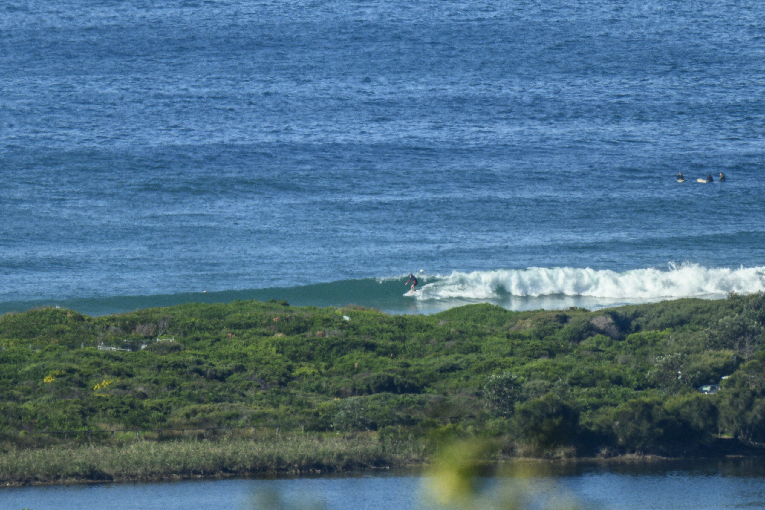
Today was small early – ok for longboards at some spots – then it just went blurgh as the wind increased
The outlook is for increases and decreases in surf size, mainly within the 1-2 metre range, at places open to dead South.. but with the ups driven by the wind behind it, making quality messy.
Light wind spells some offshores and opposing wind/swell could provide some better quality opportunities at times… stay on the alert.
Sealife around: whales just offshore; stingrays just off the beach. Goats on the land.
Friday: leftovers from today at first, then starting to come up from dead South in the 1-2 metre range as the wind picks up..then easing back
Saturday: say around 1, or 1+ metres at dead South spots, variable winds
Sunday: similar or could be a bit more size from dead South, with NW/NE winds according to the BoM
Monday: around 1-1+ metres dead South
Tuesday: in the 1-2 metre range dead South
Wednesday: down a bit, say around 1 – 1+ metres dead South
Thursday: similar
TG
Up in the Air

http://www.bom.gov.au/australia/charts/4day_col.shtml


Winds
https://www.windy.com/-33.850/151.220?-34.373,151.221,8
Down in the Sea
Water temp is a “refreshing” 19, TG has been told

Tides
https://www.nsw.gov.au/sites/default/files/2023-06/nsw_tides_2023%E2%80%932024.pdf
Weather from the Bureau
Forecast for the rest of Thursday
- Summary

- Shower or two.
- Chance of any rain: 60%

Sydney area
Partly cloudy. Medium chance of showers. The chance of a thunderstorm. Winds northwesterly 20 to 30 km/h, shifting cool and gusty south to southwesterly 30 to 40 km/h in the evening.
Sun protection recommended from 9:20 am to 4:00 pm, UV Index predicted to reach 7 [High]
Friday 13 October
- Summary

- Min 12
- Max 23
- Sunny.
- Chance of any rain: 5%

Sydney area
Sunny. Winds west to southwesterly 15 to 25 km/h becoming light in the middle of the day then becoming west to southwesterly 15 to 25 km/h in the late afternoon.
Fire Danger – Moderate
Sun protection recommended from 9:20 am to 3:50 pm, UV Index predicted to reach 7 [High]
Saturday 14 October
- Summary

- Min 13
- Max 28
- Sunny.
- Chance of any rain: 5%

Sydney area
Sunny. Light winds becoming west to northwesterly 15 to 25 km/h in the morning then tending west to southwesterly 15 to 20 km/h in the evening.
Sun protection recommended from 9:20 am to 3:50 pm, UV Index predicted to reach 7 [High]
Sunday 15 October
- Summary

- Min 14
- Max 25
- Sunny.
- Chance of any rain: 5%

Sydney area
Sunny. Light winds becoming northwest to northeasterly 15 to 20 km/h during the afternoon then becoming light during the evening.
Sun protection recommended from 9:20 am to 3:50 pm, UV Index predicted to reach 7 [High]
Monday 16 October
- Summary

- Min 15
- Max 24
- Possible shower.
- Possible rainfall: 0 to 1 mm
- Chance of any rain: 40%

Sydney area
Mostly sunny morning. Slight chance of a shower, most likely in the morning and afternoon. The chance of a thunderstorm in the afternoon and evening. Light winds becoming southwesterly 20 to 30 km/h during the morning then turning south to southeasterly during the afternoon.
Tuesday 17 October
- Summary

- Min 13
- Max 21
- Partly cloudy.
- Chance of any rain: 20%

Sydney area
Partly cloudy. Winds south to southwesterly 15 to 20 km/h turning east to southeasterly 15 to 25 km/h during the morning.
Wednesday 18 October
- Summary

- Min 11
- Max 24
- Mostly sunny.
- Chance of any rain: 10%

Sydney area
Mostly sunny. Light winds becoming northeasterly 20 to 30 km/h during the day.
Thursday 19 October
- Summary

- Min 13
- Max 26
- Sunny.
- Chance of any rain: 5%

Sydney area
Sunny. Light winds becoming east to northeasterly 15 to 25 km/h during the day.


