Surf forecast issued Friday 24 November 2023: Seven day outlook for Sydney
Having important social/family/community activities in the morning, it wasn’t till Low Tide O’Clock that TG considered looking at the ocean.
That was just out of curiousity, as a reliable mate had already told him:
you’re not missing out on much.
When he saw the ocean, he thought:
my goodness, he is so accurate.
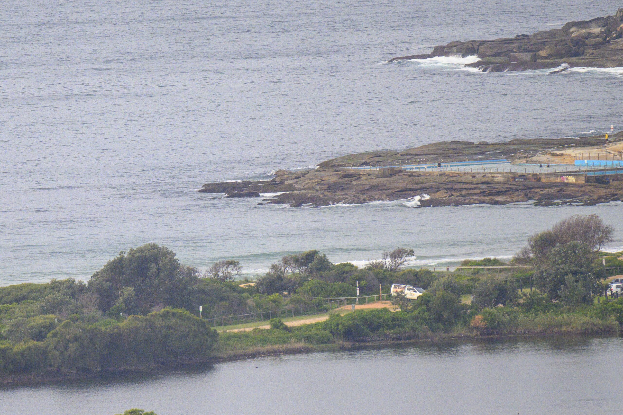
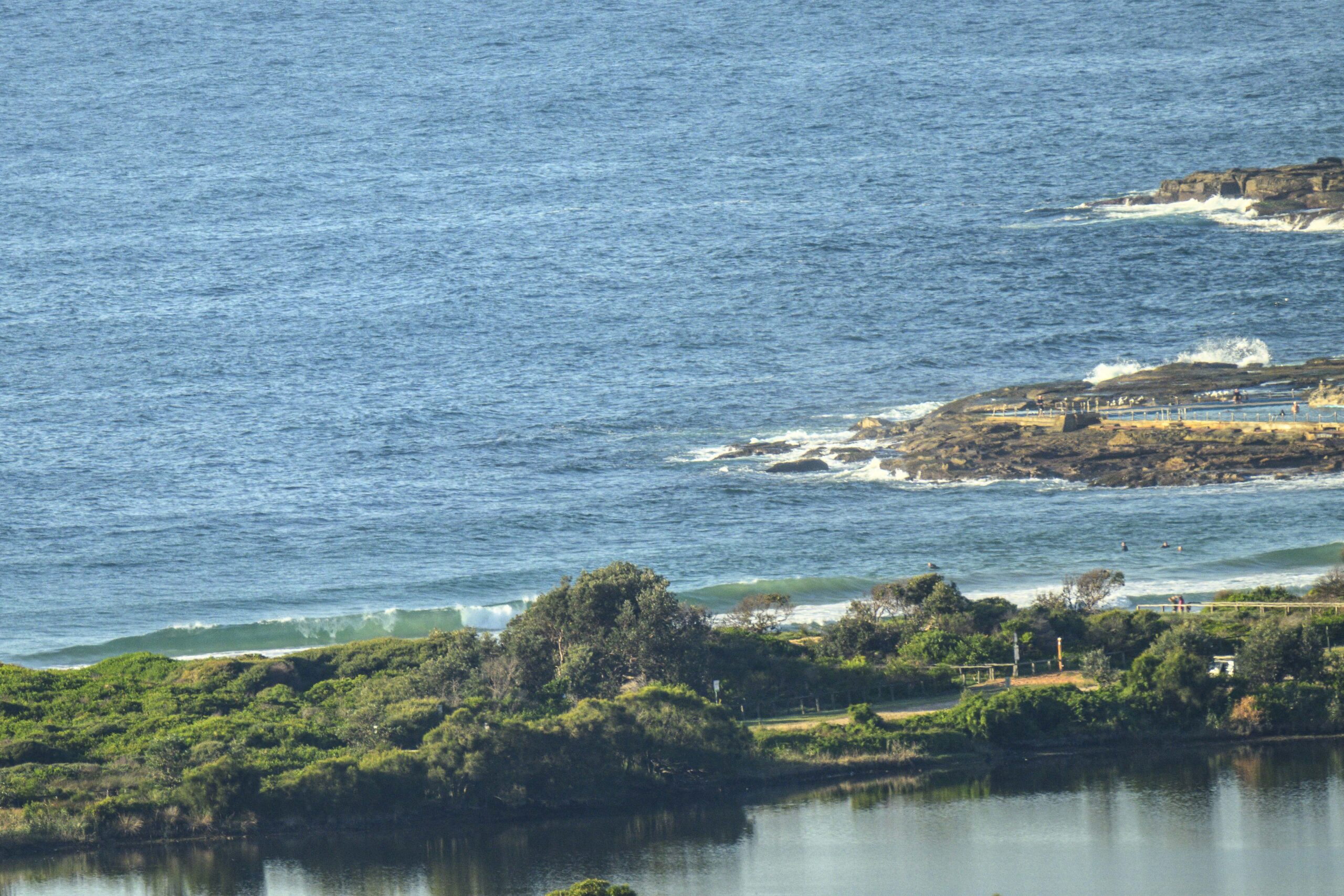
To paint a picture for you, picture a grey scene, grey sky, grey ocean, with not many characters, and not much action.
It was almost peaceful. The mesmerising sound of approximately 1.217 metre waves breaking every 7.85 seconds on the shallow sandbank had a mesmerising effect on him.
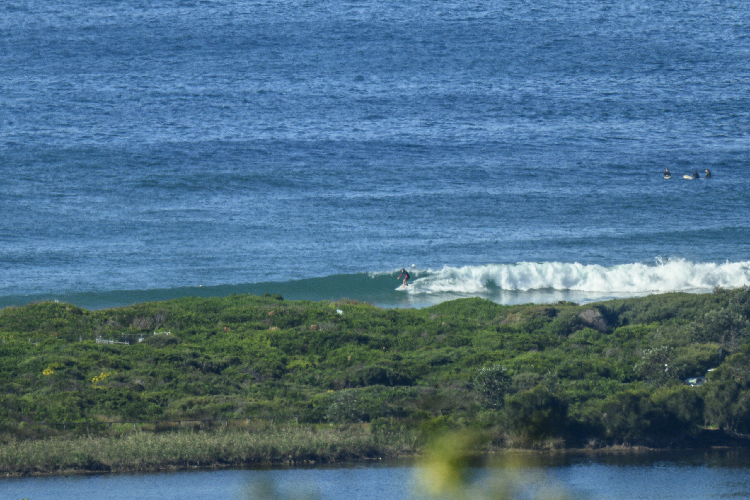
For a brief moment he found himself in sync with Ferdie Magellan’s original thinking, and almost dozed off. He roused himself when a 1 metre high kid stood up on an overhead wave and fell off.
Didn’t matter.. he was having fun out there.
So, what’s the outlook look like.. out there>>>
There’s a spot of rain forecast::::
Surfwise… looks smallish mostly, with variety
Windwise.. the Bureau forecasts lots of variety
To help you try and remember, or forget…
Sing along to this little ditty as you ride to the beach, substituting the names, with directions…
eg Northerly for Monika, Westerly for Erika, Southerly for Rita, Easterly for Tina…
You get the picture…
And try and get that out of your head!
Surf
Saturday: around 1 ish metres from NorNorEast
Sunday: ditto, from South East
Monday: ditto at dead South spots
Tuesday: starting to come up a little with the wind behind it, at places the get dead South swell, say 1-1+metres or a bit more maybe, with ordinary quality
Wednesday: similar, East North East
Thursday: around 1 ish metres North/NorNorEast
Friday: dittoish
Not just a Surf Forecast…
TG
Up in the Air

http://www.bom.gov.au/australia/charts/4day_col.shtml


Winds
https://www.windy.com/-33.850/151.220?-34.373,151.221,8
Down in the Sea
Water temp is approximately 21.

Tides
https://www.nsw.gov.au/sites/default/files/2023-06/nsw_tides_2023%E2%80%932024.pdf
Weather from the Bureau
Forecast for the rest of Friday
- Summary

- Shower or two.
- Chance of any rain: 50%

Sydney area
Cloudy. Medium chance of showers. Winds northeasterly 15 to 25 km/h.
Sun protection recommended from 8:40 am to 4:40 pm, UV Index predicted to reach 10 [Very High]
Saturday 25 November
- Summary

- Min 18
- Max 25
- Showers.
- Possible rainfall: 0 to 10 mm
- Chance of any rain: 80%

Sydney area
Cloudy. High chance of showers, most likely in the morning and afternoon. The chance of a thunderstorm in the late afternoon and evening. Winds northeasterly 15 to 20 km/h turning northerly 15 to 25 km/h in the late morning and afternoon.
Fire Danger – Moderate
Sun protection recommended from 8:30 am to 4:40 pm, UV Index predicted to reach 11 [Extreme]
Sunday 26 November
- Summary

- Min 19
- Max 29
- Partly cloudy.
- Chance of any rain: 20%

Sydney area
Partly cloudy. Slight chance of a shower, most likely in the afternoon and early evening. The chance of a thunderstorm in the afternoon and evening. Light winds becoming west to northwesterly 15 to 20 km/h in the middle of the day then becoming light in the evening.
Sun protection recommended from 8:40 am to 4:40 pm, UV Index predicted to reach 10 [Very High]
Monday 27 November
- Summary

- Min 18
- Max 26
- Mostly sunny.
- Possible rainfall: 0 to 1 mm
- Chance of any rain: 30%

Sydney area
Partly cloudy. Slight chance of a shower, most likely in the afternoon and evening. The chance of a thunderstorm in the west. Light winds becoming southeasterly 15 to 25 km/h during the day then becoming light during the evening.
Sun protection recommended from 8:40 am to 4:40 pm, UV Index predicted to reach 10 [Very High]
Tuesday 28 November
- Summary

- Min 19
- Max 24
- Showers.
- Possible rainfall: 1 to 20 mm
- Chance of any rain: 80%

Sydney area
Cloudy. High chance of showers. The chance of a thunderstorm in the west. Winds east to southeasterly and light becoming easterly 15 to 25 km/h during the morning then increasing to 25 to 35 km/h during the day.
Wednesday 29 November
- Summary

- Min 19
- Max 25
- Showers.
- Possible rainfall: 0 to 25 mm
- Chance of any rain: 80%

Sydney area
Cloudy. High chance of showers. The chance of a thunderstorm. Winds east to northeasterly 15 to 25 km/h turning north to northwesterly 20 to 30 km/h during the day.
Thursday 30 November
- Summary

- Min 17
- Max 28
- Partly cloudy.
- Possible rainfall: 0 to 1 mm
- Chance of any rain: 30%

Sydney area
Partly cloudy. Slight chance of a shower. Winds northwest to southwesterly 15 to 20 km/h tending south to southwesterly 20 to 30 km/h during the day.
Friday 1 December
- Summary

- Min 18
- Max 26
- Partly cloudy.
- Possible rainfall: 0 to 1 mm
- Chance of any rain: 30%

Sydney area
Partly cloudy. Slight chance of a shower. Winds west to southwesterly 15 to 20 km/h shifting east to southeasterly 15 to 25 km/h during the day


