
Hello Friends,
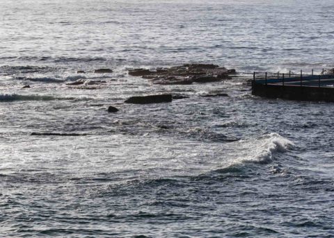
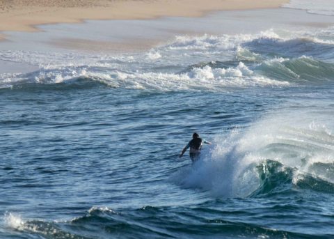
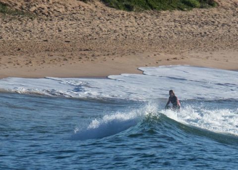
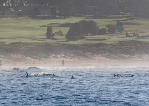
Just about totally flat everywhere I looked on the 1.8 m morning high tide. A beautiful day for the beach otherwise with light winds, warm water and sunny skies. Out at sea the swell was coming from the east. It was about a metre out there and the period was 7 seconds. So, the beaches were showing wave faces in the knee high range – on the bombs.
The Goat should be along later with his thoughts on the outlook, so be sure to check back toward dark. I’m not dazzled by what the models are predicting for our holiday weekend right now…
Have a great day everybody and go well with your plans!
Weather Situation
A high pressure system near New Zealand extends a ridge to eastern New South Wales. This high will remain slow-moving for the next few days, while a series of cold fronts pass to the south. A trough and associated southerly change is expected to affect the southern half of the coast on Friday, before dissipating over central parts on Saturday.
Forecast for Thursday until midnight
- Winds
- Northeasterly 10 to 15 knots tending northerly in the evening.
- Seas
- Below 1 metre.
- Swell
- Easterly to northeasterly 1 to 1.5 metres.
- Weather
- Mostly sunny.
Friday 30 March
- Winds
- Northerly 10 to 15 knots becoming southerly 15 to 20 knots in the late afternoon or evening.
- Seas
- 1 to 1.5 metres.
- Swell
- Northeasterly 1.5 to 2 metres.
- Weather
- Mostly sunny.
Saturday 31 March
- Winds
- Southeasterly 15 to 20 knots turning east to northeasterly 10 to 15 knots during the afternoon.
- Seas
- 1 to 2 metres, decreasing to 1 metre during the morning.
- 1st Swell
- Northeasterly 1 to 1.5 metres, tending easterly around 1 metre during the evening.
- 2nd Swell
- Southerly around 1 metre.
- Weather
- Cloudy.


