Hello Friends,
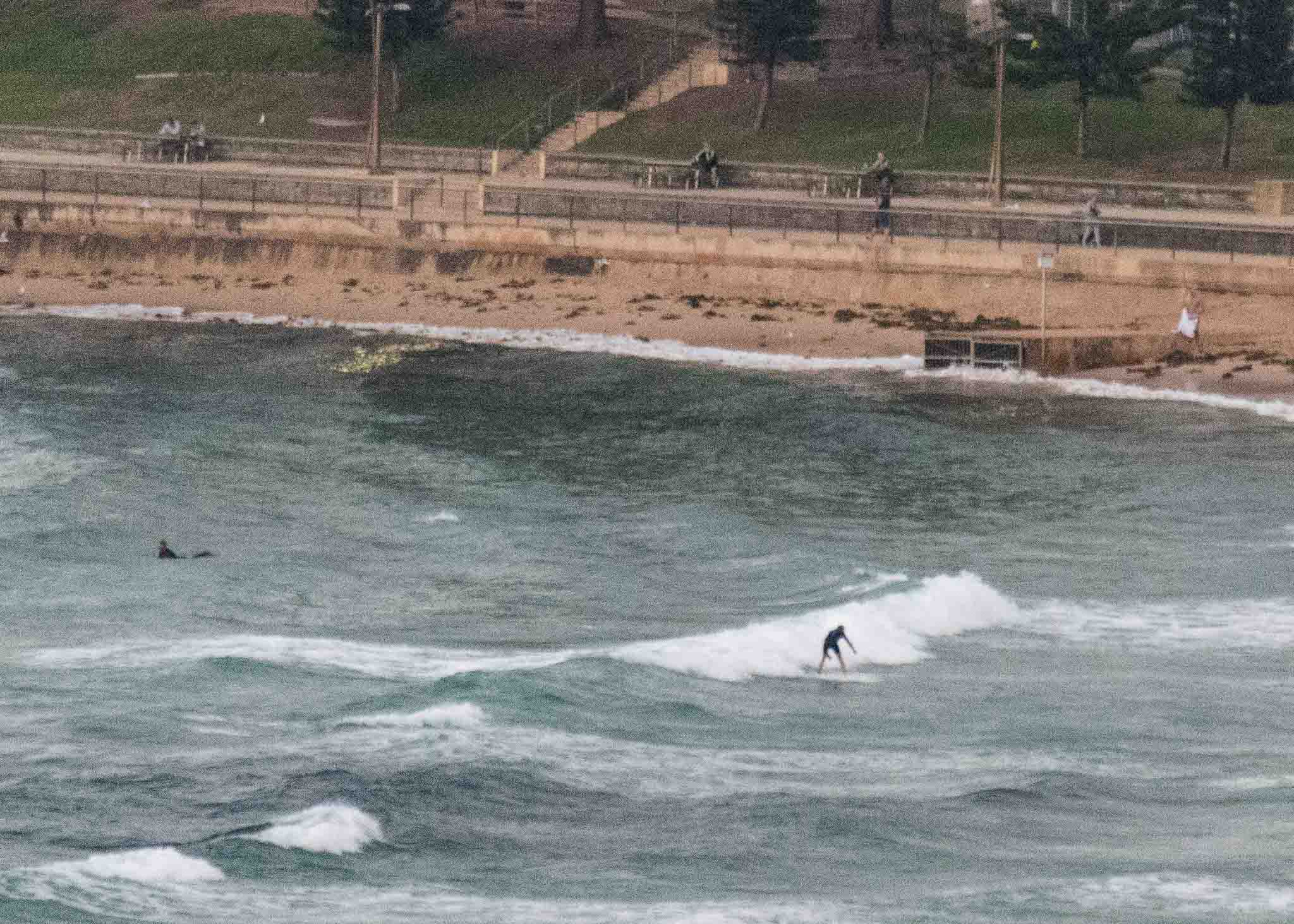
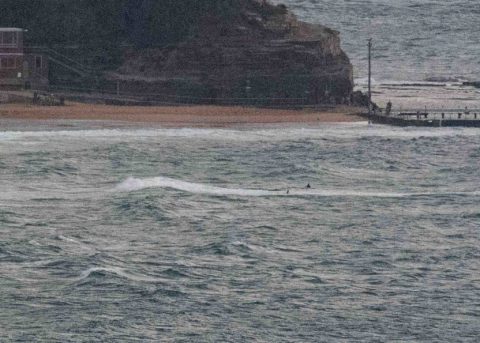
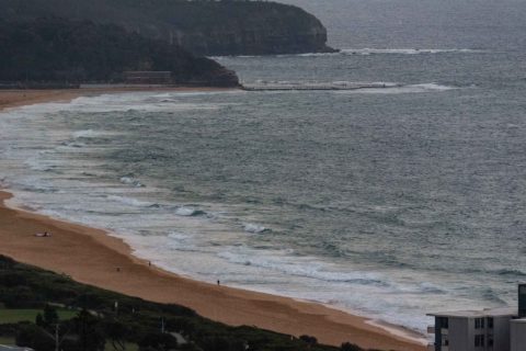
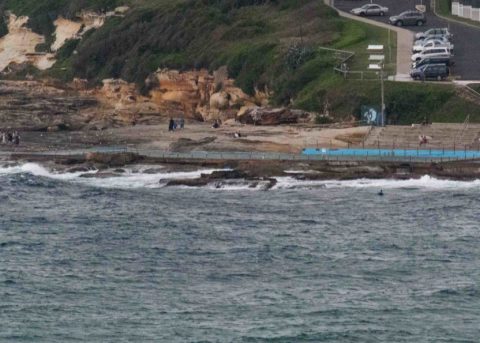
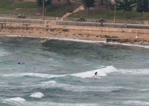
The SSE wind was blowing 15-20 kts from before sunrise. It was overcast and out at sea the MHL buoy was seeing 1.7 metres of 9-sec bump from the SSE (160°). Tide was building to a swampy 1.8 m at 0905. And there’s a 40% chance of a shower. Lovely.
Outlook broadly speaking is for the energy levels to stay around their current intensity through to Thursday when some of the models are showing a faint uptick from the east along with light winds early.
Ah well, have a great Saturday anyway and keep on smilin’
Weather Situation
Southeast to northeast winds are expected to affect most of the state’s waters today with a ridge extending to the northern New South Wales coast from a high near New Zealand and an almost stationary trough lying across the coast near Seal Rocks. The trough weakens on Sunday as the ridge becomes more predominant, bringing east to northeasterly winds to much of the coast. A weak southerly change is expected along southern parts of the coast later Sunday, before a stronger southerly change, associated with a cold front moving through Bass Strait, affects southern and central parts of the coast during Monday.
Forecast for Saturday until midnight
- Winds
- Southeasterly 15 to 20 knots turning northeasterly 10 to 15 knots in the evening.
- Seas
- 1 to 1.5 metres.
- Swell
- Northeasterly 1 to 1.5 metres.
- Weather
- Cloudy. 50% chance of showers.
Sunday 1 April
- Winds
- Northerly 15 to 20 knots.
- Seas
- 1 to 2 metres.
- Swell
- Easterly around 1 metre.
- Weather
- Mostly sunny.
Monday 2 April
- Winds
- Northerly 15 to 20 knots shifting southerly during the evening.
- Seas
- 1 to 2 metres, decreasing to 1 metre during the afternoon or evening.
- Swell
- Northeasterly 1 to 1.5 metres.
- Weather
- Partly cloudy.


