Hello Friends,
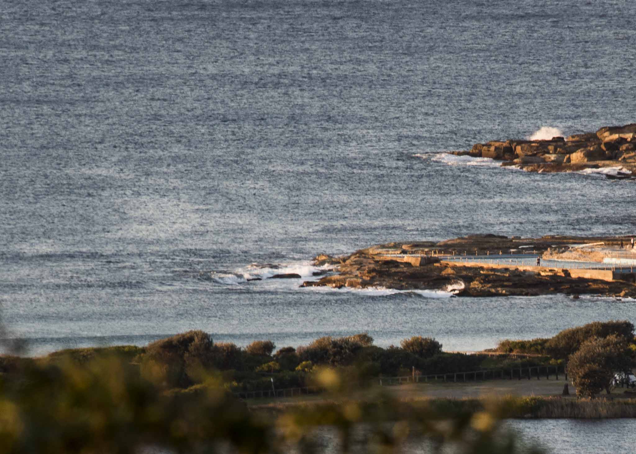
Swell faded away overnight and this morning sees conditions back to where they were on Monday, ie near flat. At 0500 the MHL buoy was seeing 1.2 metres of 10-second SSE swell. If yesterday is any guide, there could be waves at better aligned stretches, but I’d be surprised if there was anything above knee to waist high. Wind was out of the NW at 10-15 kts as of 0715 and it’s expected to pick up enough for the Bureau to have hoisted the strong wind pennant.
Tide was low at 0510 and will be back to 1.55 m high at 1120. Water temp is 16°C.
The models are uniformly predicting flat to near flat conditions through to Friday. But thereafter continues to look interesting. If they have it right, we could see energy levels beginning to improve late Saturday at spots that pick up dead south swell. By Monday there may be 3-4 metres of 10-ish second straight south with strong SSW wind. Current predictions say Tuesday should be similar. Here’s hoping!
Have a great Wednesday everyone and keep on smilin’.

Weather Situation
A high pressure system over New South Wales will shift to the Tasman Sea tonight as a cold front approaches from the west. Vigorous winds will affect many coastal areas today as this front crosses the region, with a new high developing in its wake on Thursday and Friday. Another strong cold front looks set to arrive on the weekend.
Forecast for Wednesday until midnight
Strong Wind Warning for Wednesday for Sydney Coast
- Winds
- Northwesterly 20 to 30 knots.
- Seas
- 1 to 2 metres, increasing to 2 to 3 metres during the morning.
- Swell
- Southerly around 1 metre.
- Weather
- Sunny.
Thursday 16 August
- Winds
- West to southwesterly 15 to 20 knots.
- Seas
- 1 to 2 metres.
- Swell
- Southerly around 1 metre, increasing to 1 to 1.5 metres by evening.
- Weather
- Sunny.
Friday 17 August
- Winds
- West to southwesterly 10 to 15 knots.
- Seas
- 1 to 1.5 metres, decreasing below 1 metre during the morning.
- Swell
- Southerly 1 to 1.5 metres.
- Weather
- Mostly sunny.


