
s
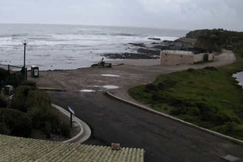
There are waves around this morning with some places getting into the chest high range or even a bit bigger. Surface conditions were smooth for the early risers, but as with yesterday, the swell is kinda lumpy and disorganised. The MHL Sydney buoy’s been offline for a few days now, so I can’t give you solid numbers this morning. If I had to guess, I’d say east-ish, 1-2 m and 9-10 sec apart. As of 0630 the wind was west 4-5 kts. It’s set to go around to the east later. Tide was high a little before 0500 and will back to low at 1145 as it warms to the 27C high this afternoon. Getting in early is/was the plan.
As for the outlook, well, may I commend to you as always, the mighty Goat.
California is seeing rain and onshore wind pretty much from north to south and surf prospects are minimal thanks to the sloppy, cold, windy and generally horrible conditions. There’s more rain on the way this weekend – which is a good thing, but yours truly won’t be braving the dodgy water anytime soon.
Weather Situation
A high pressure system over the southeastern Australia is slowly moving east, and will drift across the Tasman Sea for the next few days while extending a ridge to the northern New South Wales coast. This system will promote generally northeast to southeasterly winds until late Monday, when a trough brings a southerly change up south coast.
Forecast for Friday until midnight
- Winds
- Easterly about 10 knots increasing to 10 to 15 knots in the late afternoon.
- Seas
- Below 1 metre.
- Swell
- Southerly around 1 metre.
- Weather
- Partly cloudy.
Saturday 16 February
- Winds
- East to northeasterly about 10 knots.
- Seas
- Below 1 metre.
- 1st Swell
- Southerly around 1 metre.
- 2nd Swell
- Easterly around 1 metre.
- Weather
- Partly cloudy.
Sunday 17 February
- Winds
- North to northeasterly about 10 knots increasing to 15 to 20 knots during the day.
- Seas
- Below 1 metre, increasing to 1 to 2 metres during the afternoon or evening.
- Swell
- Easterly around 1 metre.
- Weather
- Mostly sunny.


