Not big but not flat either
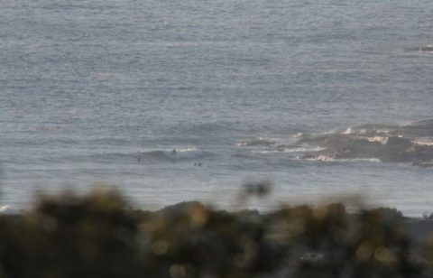
Hello Friends, Although it was a bit hazy and smoky looking early, as I write this it looks as though we should have a sunny day with a few little waves. According to the MHL data as of 0400 there was 1.4 metres of 9 second SE wind swell washing in. That’s pretty similar to […]
Tuesday getting smaller but still catchable this morning
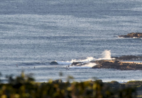
Hello Friends, Sunny start to Tuesday and about a metre of 9-sec SE swell coming into Sydney’s beaches. Tide was low at 0615 and is now coming into the high at 1245. Sets along the beach looked to be in the waist plus range, while at the point waves generally seemed to be a little […]
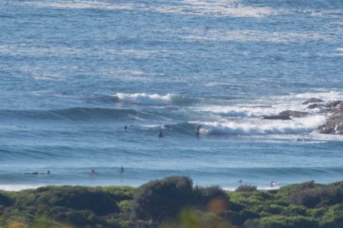
Little waves this morning at Dee Why
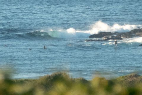
Hello Friends, Light offshores under sunny skies as the day kicked off at Dee Why. Wind is due to pick up from the NE later and be around 15-20 kts this afternoon. At 0600 swell at sea was coming from the east. It was about 1.3 metres out there and 8-9 seconds apart. That makes […]
Scrappy conditions for Australia Dad morning
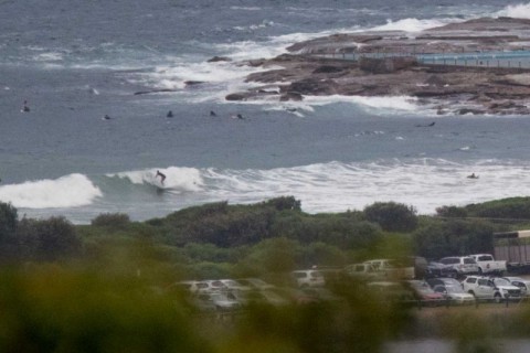
Hello Friends, This morning sees scrappy, messy but not flat conditions at Dee Why. Fair number of people in the dodgy looking water and Dee Why itself is in full Australia Day mode under partly sunny skies. However, the forecast is showing a 60% chance of rain. Swell is still out of the east at […]
Glassy early with little waves
Hello Friends, Un-summery touch of cool to the air this morning, but there were glassy little bumps to chase at Dee Why beach. Size looked to be in the knee to waist range and seemed to be relatively consistent too. Plus, there were more peaks than have been evident over the last few days. So […]
Rain again early but should lift later
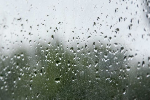
Hello Friends, According to the weather radar at 0800 the rain was pretty much confined to the coastal strip. It should lift later this morning, so I’ll be able to grab a pic then. Wind was coming from the SSW at around 15-25 kts, but the Bureau says we can expect it to come around […]
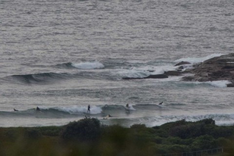
Sunny skies, light wind and little waves
Hello Friends, What a nice change. Sunny, not much wind and a few little south wind swell bumps to lure you into the water. Set wave faces at the point were in the waist range and along the beach a touch bigger. But again, the bank situation remains dire and pretty much every wave I […]
Rainy start but little waves
Hello Friends, Just managed to grab a pic before another rain squall blanked out my view of the point. It was around 0800 and wind was coming from the SW at about 10 kts. It was a relatively cool 18 and the MHL site was showing 2.7 metres of 10-second south to SSE swell as […]
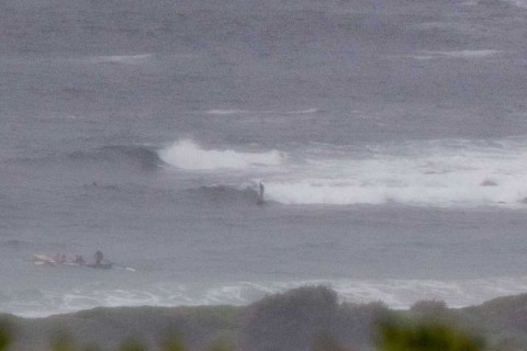
Wednesday cold early and southerly
Hello Friends, Wild and woolly conditions thanks to 30kts of south to SW wind and around 4 metres of south swell (going by the Pt Kembla buoy…Sydney’s gone offline). Swell should stay at around this intensity for another 24-48 hours at least. Wind unfortunately is going to blast along at 25-30 kts from the south […]
Little Sunday waves for Dad’s day morning
Hello Friends, Happy Father’s Day to my fellow Dads. Dull grey skies for you this Sunday morning, but there are some glassy if rather lumpy waist to chest-ish options at the point and along the beach at Dee Why . Wind was faintly NW around 0800 and tide was right on the low (high’s at […]