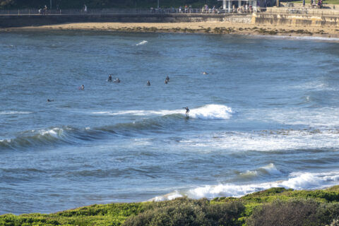
Big stuff fading away but fun size remains
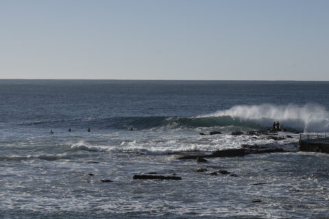
Hello Friends, The big stuff is gone and we’re back to 1.6m of 12-sec swell from 160° (SSE) which was delivering the occasional chest high set at the point. It was a bit bigger along the beach. Wind was W-WNW in the 7-10 kt range when I grabbed the pics a little after 0900. Tide […]
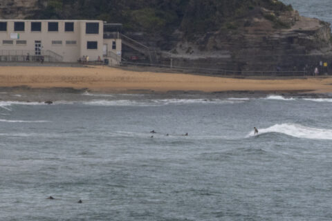
Junky options for the keen
Hello Friends, If you wanted to get in this morning, there were a few options around the place. Both the south end of Dee Why and South Steyne were offering junky but cross-offshore conditions with wave faces into the chest plus range. Swell at sea was dead south and 3.6 metres at 12 seconds as […]
Small to near flat depending on where you look
Hello Friends, Really tiny at Dee Why and pretty small, but a bit bigger at Surfrider Gardens this morning. Dee Why was in the ankle to knee high range, while from Surfrider Gardens to Northy it’s knee to maybe waist. Wind was coming lightly from the NNE as of 0800. Swell at sea was 0.85 […]
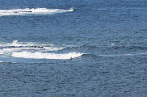
Little waves for the early
Hello Friends, Another sunny start with weak knee to waist high NE wind waves at the focal points. Wind was coming from the NNE at 7-11 kts as of 0700. As the day warms up to the 29C high, the wind will get into the 15-25 kt range. Swell at sea was 1.1 metres at […]
Just barely there
Hello Friends, It’s been NNE since 0300 and by 0800 it was 7-11 kts. Surface conditions were just beginning to show some texture, which would have been okay if there was more swell energy. It was coming from the east and a touch over a metre out at sea, but the period was just 5 […]
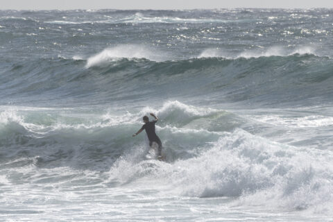
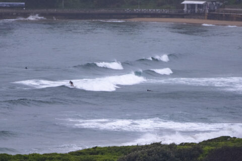
Weak and puny Thursday morning
Hello Friends, Had hoped it might be similar to yesterday this morning, but as the pics show, it’s not. A 7-11 kt ENE wind was texturing it up by 0800 and the 1.1 metre 9-sec east wind bump was struggling to deliver waist high faces on the sets at better exposures. On top of that, […]
Missable Wednesday morning
Hello Friends, Swell’s faded away to knee to waist high at best. It’s raining and although the wind was still SSW at 0830, it’s going to be southerly before long. Only people I saw in the water were the few hopefuls at Dee Why (see pics) and an optimist paddling out into the weak, little […]
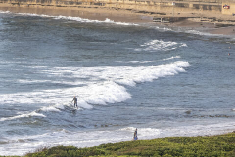
Glassy little peaks everywhere
Hello Friends, Light offshore breeze to open proceedings this Thursday. And, as the pictures show, there were knee to waist-ish waves all over the place. You’ll do a bit of sitting around (so what else is new?) and they’re more soft than not, but you’ll definitely jag yourself a few. Onshores should come up this […]
Late afternoon Monday
A few snaps to show how the swell was looking as it arrived… (not great really)
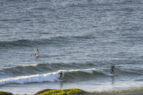
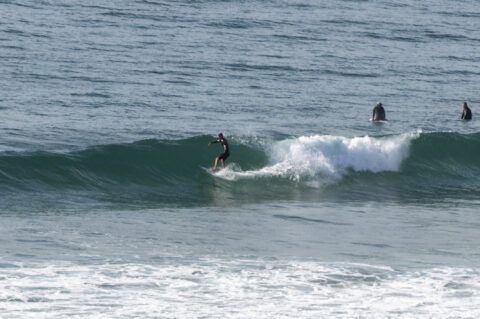
A bit of NE windswell for the early

Hello Friends, NE magnets were delivering soft but rideable waist to chest high waves as Saturday kicked off in sunny style. It looked to be a bit of a wait between rideable ones too. Wind blew all night and was 6-9 kts at 0700. It’ll get up to 15-20 kts as the day goes along. […]