Very low key at Dee Why this morning
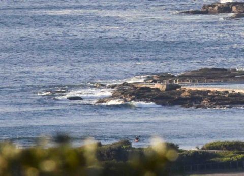
Hello Friends, Swell’s faded to around the ankle to knee high level this morning at Dee Why. There might be something a little bigger at spots with optimal alignment for the 1 metre 8-second SE bump. Wind was 10-12 kts from the WSW at North Head as of 0700. Tide was high at 0430 and […]
Rainy morning in Sydney
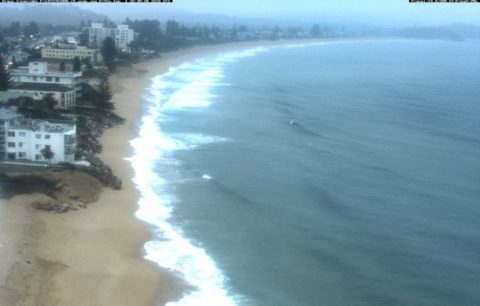
Hello Friends, Rain was light but steady as the day got started. Visibility from the RealSurf crows nest was about a kilometre so it was a bit too gloomy to grab a picture. If we get a break later, I’ll rectify the situation. From the look of the 0630 WRL shot of south Narrabeen and […]
Dee Why micro this morning and unlikely to improve
Hello Friends, Swell’s about where it was yesterday morning, ie about a metre at 8-9 sec apart from the SE. Wind was out of the west at 0700 but the Bureau says it’ll go NE then north 20-30 kts. At the same time the swell’s predicted to bump up a little offshore. That’s probably not […]
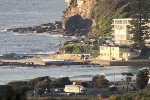
Down another notch, but not flat

Hello Friends, Another beautiful morning in Sydney. Light wind and glassy little waves were on offer for Dee Why folk. Nothing amazing, but definitely the odd waist plus wave face rolling in thanks to a metre of 8 second period SE swell. A few people were in the water chasing the occasional section – and […]
Little waves for the early
Hello Friends, Small knee to waist high looking little glassy lines turning up for the early crew this morning at Dee Why. Wind should be light and variable this morning before gradually going NE later. Not too many takers as the day got started at Dee Why and the waves seemed to be rolling with […]
Still small this morning
Hello Friends, No forerunners yet, but TC Lusi’s kicking up some serious energy and the Bureau says it should hit up north late Saturday and fill in to our region for Sunday. So, running a day or so behind some of the modelling of the last week – but coming our way nonetheless. Friday morning […]
The Goat was right
Hello Friends, Sadly, exactly as the mighty Goat foretold, we have not a thing this morning. Tide, wind and swell data are all irrelevant to surfers. We’ve got a metre of SE wind bump showing out at sea, but if Dee Why’s a reasonable guide, you’ll be doing well to find a thigh high bomb […]
Guess what? Still micro.
Hello Friends, If you’re back to work today, then at least you can console yourself that you aren’t missing anything at the beach. There is only the faintest of faint SE wind swells flopping weakly in to our beaches this morning. The numbers tell the story. A metre at sea and not quite 8 seconds […]
Warm and little waves early
Hello Friends, Last Friday of 2013 and it seems there are a few small waves to be had. Before 0900 it was nearly 30 at RealSurf HQ – even though the high is only supposed to be 26. I’d be getting on it ASAP because the Bureau says the swell’s gonna drop by midday and […]
Not much today
Hello Friends, As you look at the depressing flatness of your favourite beach this morning, it’s worth knowing that you could go pretty much anywhere on the east coast and not find anything much better. There’s not much of anything in this morning’s forecast data either. We might possibly get some little bumps at east […]