Waves for the early this Saturday
Hello Friends, Smooth and glassy most places as play opened this morning. And there was swell. At 0400 it was around 2 metres and coming from the SE at 9 seconds apart, so although the tide was running into the high at 0610, there were surf options around. I saw a few folk bobbing around […]
Clean, cold, inconsistent but small waves

Hello Friends, Looks as though the water temperature has slipped another notch offshore. The MHL buoy was detecting 17.6 C water along with 2 metres of 9 second swell from the south around to SE. Only a few bods in the water along the beach at Dee Why around 0800. High tide is at 0935 […]
Rough and ready
Hello Friends, Ocean looking pretty torn up this morning when I came back along the beaches from Manly. According to the MHL buoy, we have about 2 metres of SE swell at 9 seconds apart. Wind is out of the south to SE 8-10 kts as of 0900. Next tide is a low at 1130. […]
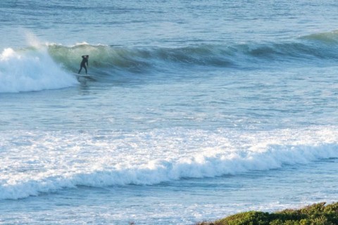
Lots of waves, lots of folks
Hello Friends, According to the Bureau, this is peak day for the swell. At 0630 there were at least 20 people in the water at the point and a reasonable number scattered along the beach. Surface conditions were somewhat lumpy, but glassy and set wave faces were into the head plus range. Swell is out […]
Evening perk
Just on dusk the swell popped up from near flat to chest+ thanks to a SE pulse of a couple metres at about 9 seconds apart. Unfortunately there was a steady ESE onshore, so it was very junky at Dee Why – and everywhere else I bet. From the look of the buoy […]
Postcard from Cali: you’re missin’ nothin’ here
Hello Friends, Not much happening on this side of the pond. It is spring after all. Weak and tiny west wind swell is unsurfably tiny. Hoping for an improvement on the weekend… Meanwhile, back home (where I’ll be mid next week) the MHL Sydney buoy is reporting 9 second period SE swell at two metres. […]
Too sloppy for most
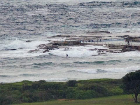
Hello Friends, This morning is very much in line with expectations. Wind was light and easterly from early and it’s going to pick up into the 15-20 kt range later, so we’re not going to see any improvement. Swell is still out of the SE at a couple metres and 9 seconds apart. That’d be […]
PICS: Late Weds afternoon chop shredding session at Northy
The light wasn’t the best, the surface conditions were pretty beat up, but there were some very crunchy low tide sections to be had at North Narrabeen late Wednesday afternoon. There were a heap of Pro Junior competitors out too, so despite the less than optimal conditions, I shot over a hundred pics. Click the […]
PICS: Manly, Weds morning 5 Jan 2011
After weeks we finally get a little SE pulse with nice picture taking weather. I decided to check the situation at Manly and discovered there were some fun looking glassy peaks sliding in on the peaking tide. Heaps of folks were on it – which I love when I’m shooting – and while there was […]
Hooray, little waves and sunshine this morning
Hello Friends, It’s not booming, but at least there’s a little SE swell bumping up on various banks around the place. For the most part it looks to be in the waist high range, but there would be the odd bigger one in the mix too. Swell at sea is around 9 seconds apart and […]