
Hello Friends,
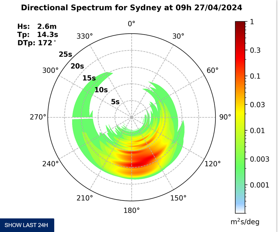
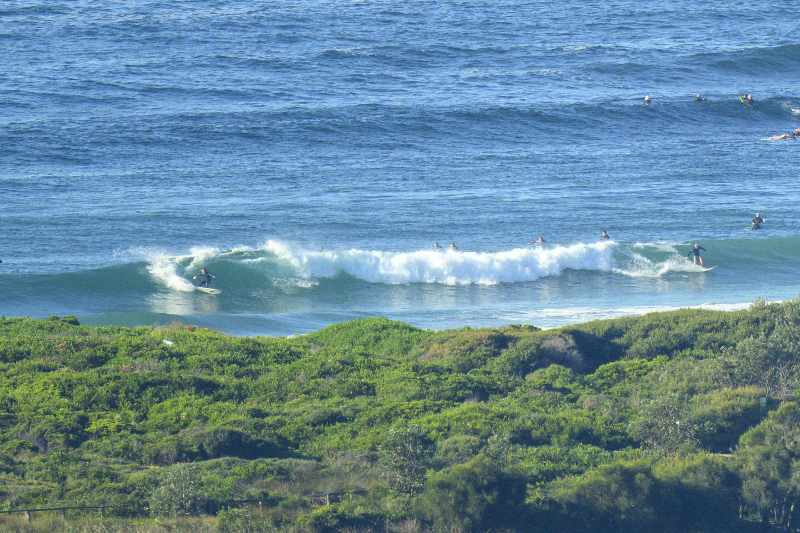
Short version: still lots of waves to be had, but it is smaller on average. Skies were darkening and showers were visible off to the south of Dee Why when I climbed up into the crows nest to get a picture or two. The numbers are looking pretty good: south swell of a couple metres at 10s and light SSW winds.
Along the Dee Why stretch that means waist to chest on many of them, but a reasonable number into the head high range (if not a touch bigger). Crowds are well down over past days now that school has resumed and the workers have returned.
Maybe it’s the dark grey sky, but the 0745 temp of around 13 felt particularly chilly (surpress those smiles Viccos!). We’re set for showers along the coast and the high will gradually creep up to around the 17 mark.
Here’s the Bureau’s call.
Sydney Coastal Waters, Broken Bay to Port Hacking and 60nm seawards:
Thursday until midnight: Wind: S/SE 10/15 knots, reaching 15/20 knots at times.Sea: 1 to 2 metres.Swell: S 2 to 3 metres. Waves breaking dangerously, close inshore. Isolated morning thunderstorms.
Friday: Wind: NW/SW 5/10 knots. Sea: less than 1 metre. Swell: S 1.5 to 2 metres.
Saturday: Wind: S/SW 10/20 knots, increasing to S 15/25 knots.
I plan to update with more later…


