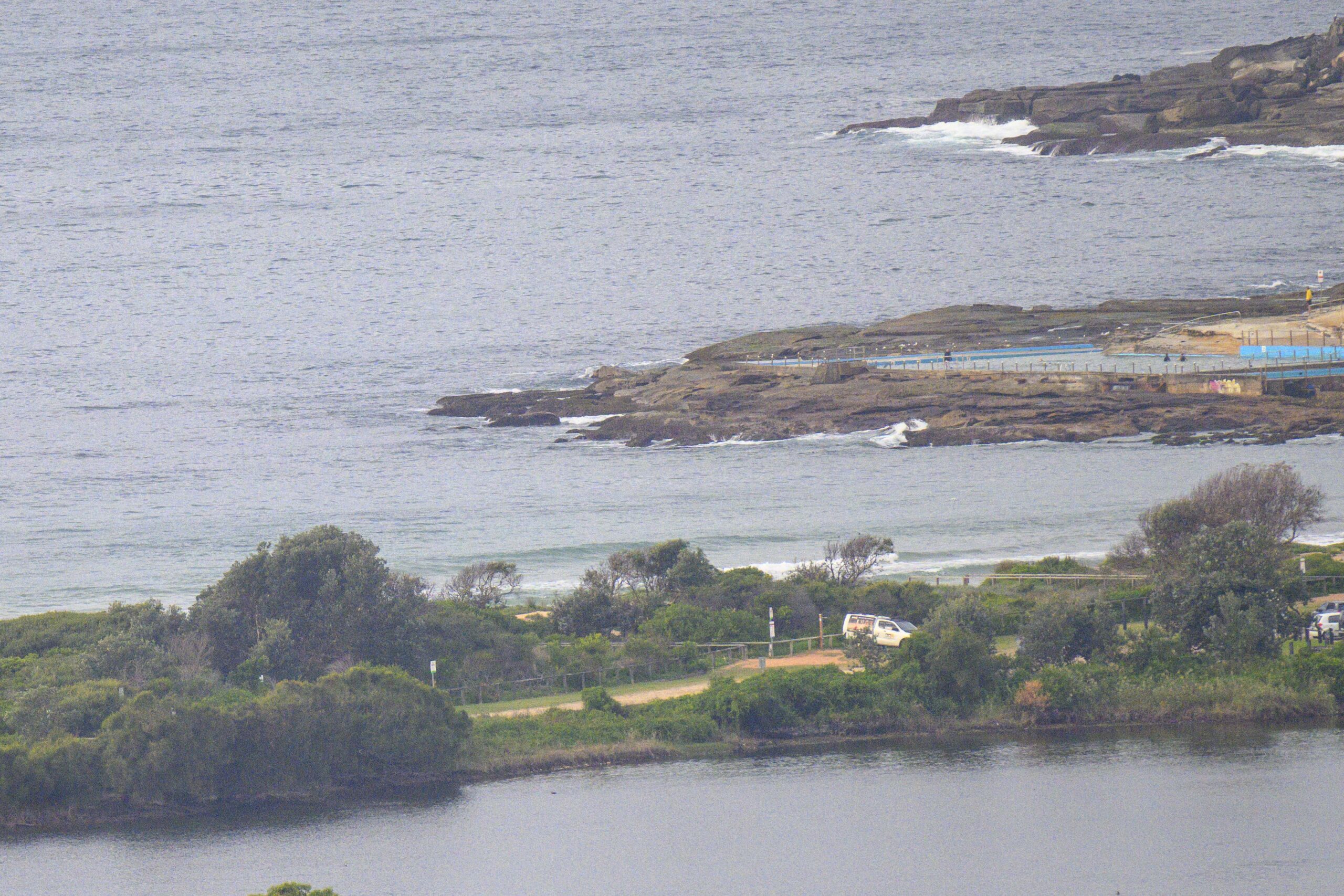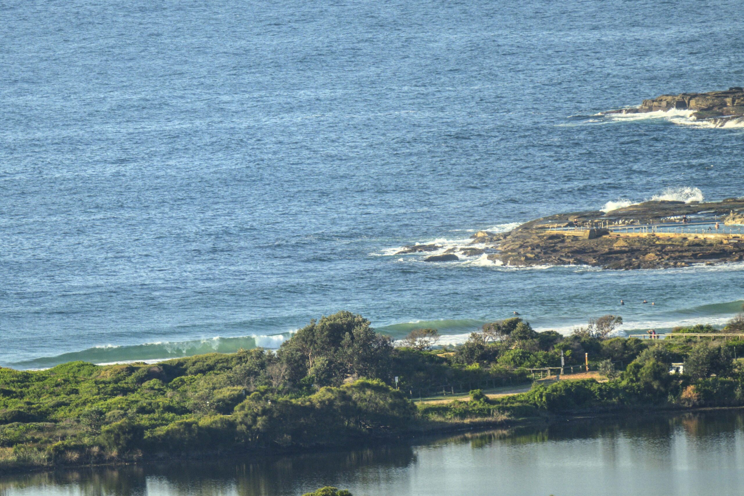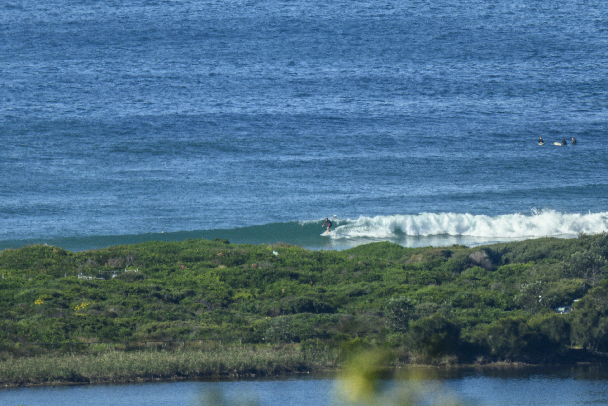
Hello Friends,
Did you get in?
Seems that the swell decided to track around to the SSE as Saturday went along. Happily it held on to its size and period, so there should be some in the tank yet.
I had business elsewhere most of the day, but when I finally had another look at around 1530, there was a distinct line and enough size to be producing some waves along the south Narrabeen stretch.
The wind had come up as promised in the Bureau’s forecast, so it looked to be kinda junky for the folks in the water. But that said, I did see a couple sets into the chest-shoulder high range which is a good thing.
From the look of the indicators, we should have something again tomorrow. And, if the models hold up, the waves should be around until mid next week.
Dawn patrol will get a rising tide tomorrow morning as it heads toward a peak at 0900. Naturally that means it’s low water at 1457.
Here’s hoping for a few fun ones. Have yourself a great Saturday night!
Sydney Coastal Waters, Broken Bay to Port Hacking and 60nm seawards:
Saturday until midnight: Wind: SW/SE 8/13 knots, tending E/SE 5/10 knots inshore. Sea: 1 metre or less. Swell: E 1 to 1.5 metres.
Sunday: Wind: Variable 5/10 knots, tending NE 10/15 knots in the afternoon and reaching N/NE 15/20 knots later. Sea: less than 1 metre, rising to 1 to 2 metres in the afternoon/evening. Swell: E 1 to 1.5 metres.
Monday: Wind: N/NW 15/25 knots, ahead of a W change 15/25 knots.
Tuesday: Wind: W 15/25 knots.


