Hello Friends,
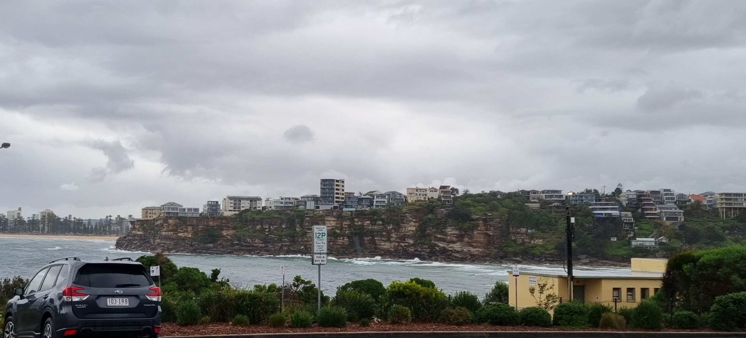
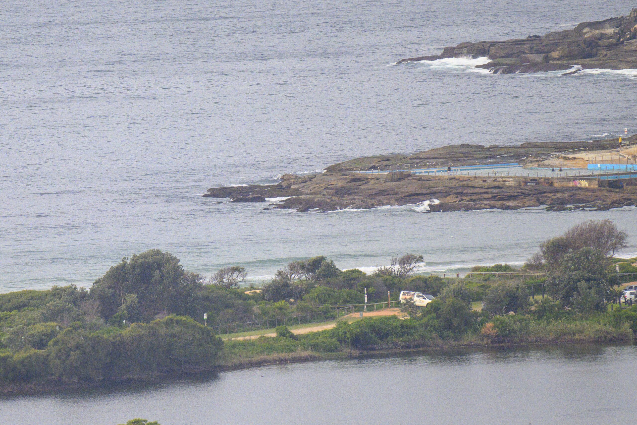
Not much of anything showing at Dee Why this morning. Wind went around to the SSW earlier and the weak windswell seems to have tracked around to south as well.
The models are suggesting that we should see a slight improvement (ie, it might get surfable) over the next day or two. But at this stage it looks like it will only be the difference between flat and very marginal.
Here’s hoping there’ll be a little something for us when the heat hits tomorrow.
Your best bet for a wave today is going to be at spots with south exposure. Of course it’ll be onshore where it’s biggest.
Tomorrow the wind will be around to the NW, so my hunch is that the best locations will be the more east exposed spots. If we see stuff into the waist high range, I’ll be stoked.
By Monday, the heat should be gone as a new south change rolls up the coast. That of course will mean short period south windswell. The models are showing 2-3 metres at 6-7 sec, so figure chest to head high plus at exposed spots (on sets) if we’re lucky. Again, it’ll be biggest where the onshores are strongest and because of the short period, you probably can’t expect to find much in the protected south corners.
Tides: H @1040, L@ 1732
Sydney Coastal Waters, Broken Bay to Port Hacking and 60nm seawards:
Saturday until midnight: Wind: S/SE 20/25 knots easing to 10/15 knots during the morning, then tending SE/NE 10/15 knots in the afternoon.Sea: 2 to 2.5 metres abating about 1 metre.Swell: NE 1 to 2 metres. Possible afternoon thunderstorms.
Sunday: Wind: NW/NE 20/30 knots. Late S change 20/30 knots. Sea: 2 to 3 metres. Swell: NE 1 to 1.5 metres.
Monday: Wind: S/SE 15/25 knots.


