Hello Friends,
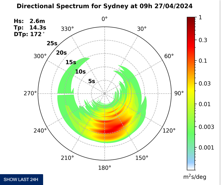
10-15kts of SE from early means that conditions are pretty choppy at places that pick up the relatively short period 2 metre SSE swell. The Bureau says that the wind should ease during the day, so perhaps we’ll get lucky and see an improvement to surface conditions as that happens. Tides are set to vary only a small amount through the day too.
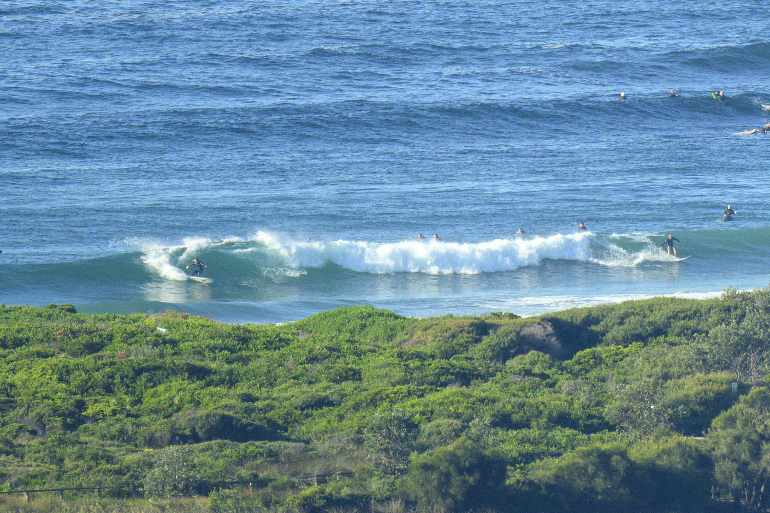
Sets are in the shoulder high plus range on the biggest ones, so it’s looking pretty similar in that respect to yesterday. But I’m planning to get out and about with the camera again later, so I should be able to fill in the picture with a little more detail.
According to the models, the trend will be downward, so I’d get on it earlier rather than later if you plan to notch up any (comparatively) big ones.
Back later with more…
TIDES: L @0730, H @1315

Sydney Coastal Waters, Broken Bay to Port Hacking and 60nm seawards:
Sunday until midnight: Wind: S/SE 15/20 knots, easing to 10/15 knots later. Sea: 1 to 2 metres. Swell: SE 1.5 to 2.5 metres.
Monday: Wind: S/SE 10/15 knots.Sea: less than 1 metre. Swell: SE 1 to 2 metres.
Tuesday: Wind: Variable 5/10 knots, becoming NE 10/20 knots.


