Hello Friends,
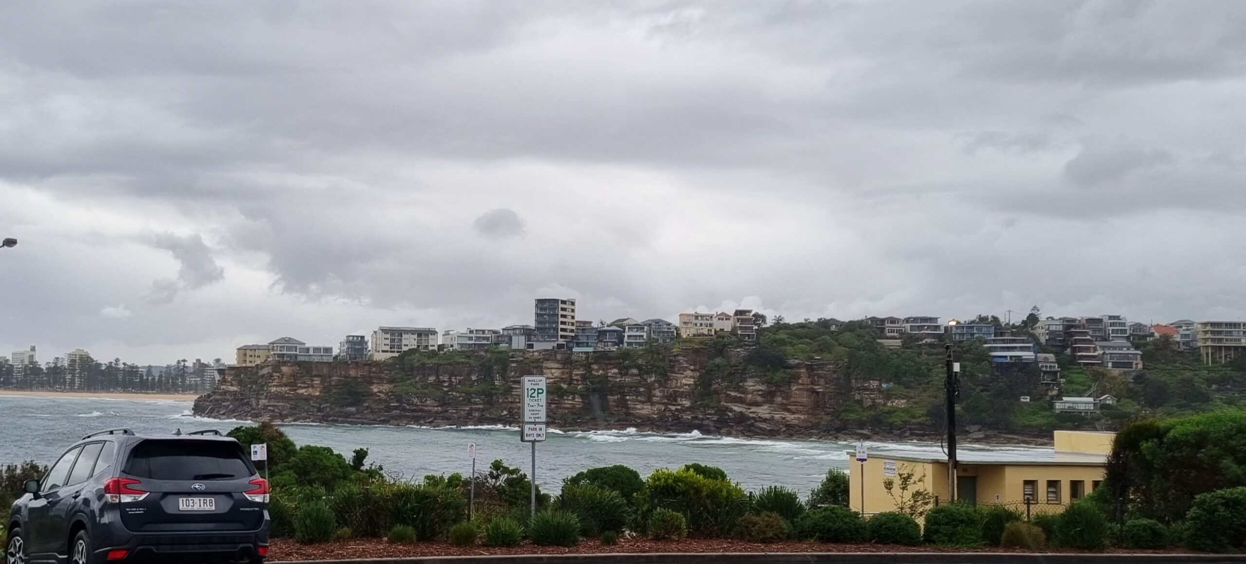
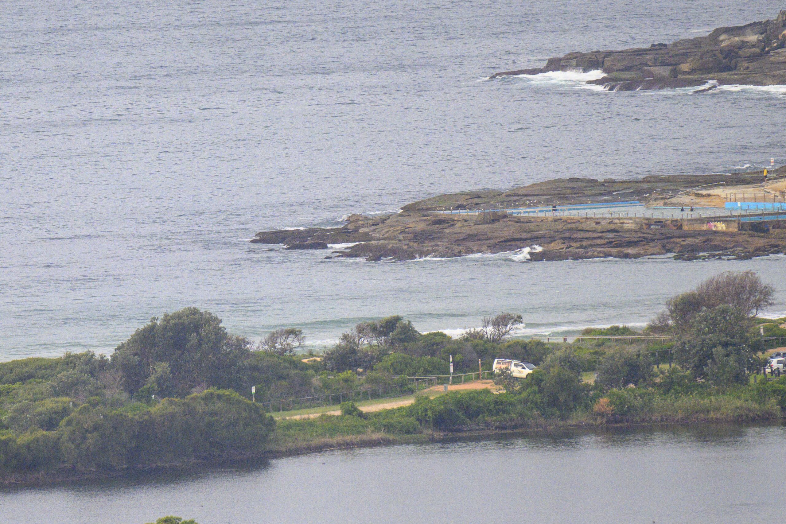
Another remote report for the early risers… and the settings look pretty ordinary it has to be said. The latest from the MHL Sydney buoy is showing a paltry metre of 6sec NE wind swell. Gurk. Hard to believe there will be anything resembling surf around the joint this morning. If you’re really desperate, the NE spots might have a tiny trickle, but I wouldn’t get too hopeful. Plus the 70% chance of rain looks likely to ensure uninspiring conditions prevail all day.
If you’re around the radio at 730 this morning, have a listen to the Goat on 702 ABC radio for the expert view on your surf prospects. From where I sit, it looks like there could be a wind wave around tomorrow – if the forecast ENE wind swell develops as the models currently predict.
The week ahead currently looks pretty so-so and spring-esaque on the models. Monday morning at NE spots could be the go for the odd fun one, but beyond that it’s looking to me like a case of bumping along in and out of the barely surfable range.
Weather Situation from the Australian BoM
A high pressure system is strengthening over the central Tasman Sea. This system is slow-moving and will remain the dominant feature in the region through the weekend, bringing predominantly east to northeasterly winds to the New South Wales coast. At this stage a weak southerly change appears likely to affect the southern coast around Tuesday, before a cold front brings a more vigorous change later in the week.
Forecast for Saturday until midnightWinds: Northeasterly 10 to 15 knots tending east to northeasterly 15 to 25 knots around midday. Seas: 1 to 1.5 metres increasing to 2 metres during the afternoon. Swell: Southerly about 1 metre. Isolated thunderstorms in the late morning and afternoon.
Forecast for SundayWinds: Northeasterly 10 to 20 knots. Seas: 1 to 1.5 metres. Swell: Southerly around 1 metre tending easterly 1 to 1.5 metres later. Isolated thunderstorms.
Forecast for MondayWinds: Northeasterly 10 to 20 knots. Seas: 1 to 1.5 metres. Swell: Easterly 1 to 1.5 metres. Isolated thunderstorms offshore.
Postcard from California

The last feeble remnants of a weak little NW swell dribbled away at dusk. Went for a grovel at a spot called Mesa Lane in Santa Barbara. Water was surprisingly mild given the very cold summer they’ve had here. Waves were a gutless waist high on the biggest ones, but I still managed to get a couple on the trusty 7s fish. Today sees abject flatness for most of southern California. If you’re keen for a wave, the only option is to drive north to the central coast where regions such as Santa Cruz are still picking up a little something. But the water is Vicco cold up that way… guess I’ll catch up on work.


