Hello Friends,
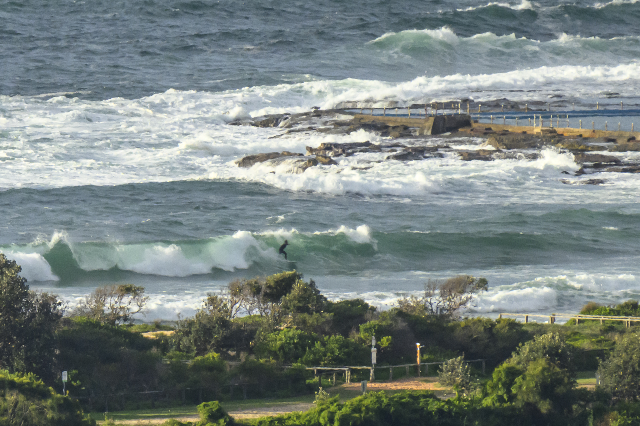
Went out for a look around this morning. High tide is doing a number on the close-together NE windswell. The main activity at Curly is from about the middle of the beach down to the south end. There were a fair number of bods out in front of the SLSC, but only a few north from there. Looked to be a longish wait to get one and the average size was struggling to get much above the waist high mark. Obviously there are a few bigger ones in the mix, but because the average period is so short, there are high proportion of one-turn wonder waves. You know the drill, take off, hit that first turn quick before it fades out.
Didn’t really stop for a long look at Dee Why as it seemed pretty disorganised and lumpy-bumpy. Given the direction and short period, I wouldn’t expect to see much up at the north end.
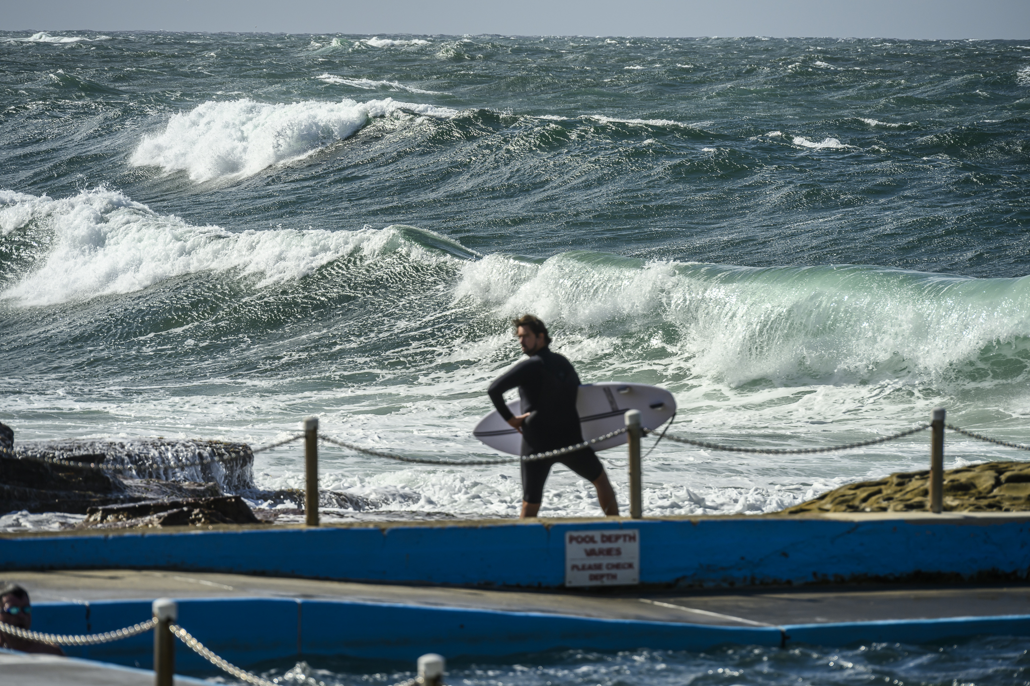
Figured the swell might be doing things at Northy, so had a quick look there. Usual crowd on it of course, but the same issues evident at Curly were plaguing it too. Sets were bigger though. And, if you didn’t mind risking a snapped board, there were some solid but rarely makeable little chambers unloading down toward carparks. Take off – quick turn – tuck in – BAM!
Wind is set to go NE this afternoon, so that could add a little to what we already have. Connoisseurs of onshore conditions could find something of interest for the late at their fave north corner.
Outlook continues to be for conditions to bumble along like this for Sydneysiders right through next weekend. TC Yasi looks as though it will stay well away from our swell window. The Queensland points might get something out of it, but the wind and cloudy skies may take the gloss off and right now the models are only showing an 18-24 pulse around Wed-Thr.
Speaking of models, I’m intrigued to see that at least one of them is showing some interesting developments in the southern ocean toward mid next week. Way, way too early to call it, but… right now there’s at least a tiny hope…
Here’s what I wrote earlier…
Looks like some little NE windswell around this morning. The morning fog is burning off fast as we head toward a hot day. Tide’s high early and it seems the little windswell has gone around to the NE overnight, but better than that, it seems to have perked up a little. The average period is still a lacklustre 7 seconds, but average height is a couple metres at sea. As well the MHL buoy was showing peak seas at 4 metres. This doesn’t look right to me, so I’m wondering if maybe some idiot has tied up to the MHL buoy…
A couple bods were in the water at Dee Why where it looks to be in the waist to chest range and kinda weak and messy with the high tide.
TIDES: H @0800, L @1545


Weather Situation
A slow-moving high pressure system over the central Tasman Sea extends a ridge to the New South Wales north coast. During Tuesday northerly winds are expected to strengthen along the coast ahead of a brief late southerly change on the southern half of the coast.Forecast for Tuesday until midnight
Winds: Northerly 15 to 25 knots, reaching 30 knots at times, tending north to northeasterly 15 to 20 knots around midday then becoming northeasterly 15 to 25 knots during the afternoon. Winds tending north to northeasterly 20 to 30 knots by early evening. Seas: Up to 3 metres decreasing to 2 metres around midday then increasing to 2 to 3 metres later in the evening. Swell: Northeasterly 0.5 to 2 metres.Forecast for Wednesday
Winds: North to northwesterly 20 to 25 knots tending south to southwesterly 10 to 20 knots around dawn then tending northeast to southeasterly up to 10 knots around midday. Winds becoming northeasterly 10 to 20 knots during the afternoon then tending north to northeasterly 20 to 30 knots by early evening. Seas: Up to 3 metres decreasing below 2 metres around dawn then increasing to 3 metres later in the evening. Swell: Northeasterly 2 to 3 metres decreasing to 0.5 to 1.5 metres late in the evening.Forecast for Thursday
Winds: North to northeasterly 15 to 25 knots, reaching 30 knots at times, becoming northerly 15 to 20 knots during the morning then tending northeast to southeasterly during the evening. Seas: Up to 3 metres decreasing to 2 metres during the morning. Swell: Northeasterly 0.5 to 2 metres. Isolated thunderstorms inshore, extending throughout from the morning.


