
Hello Friends,
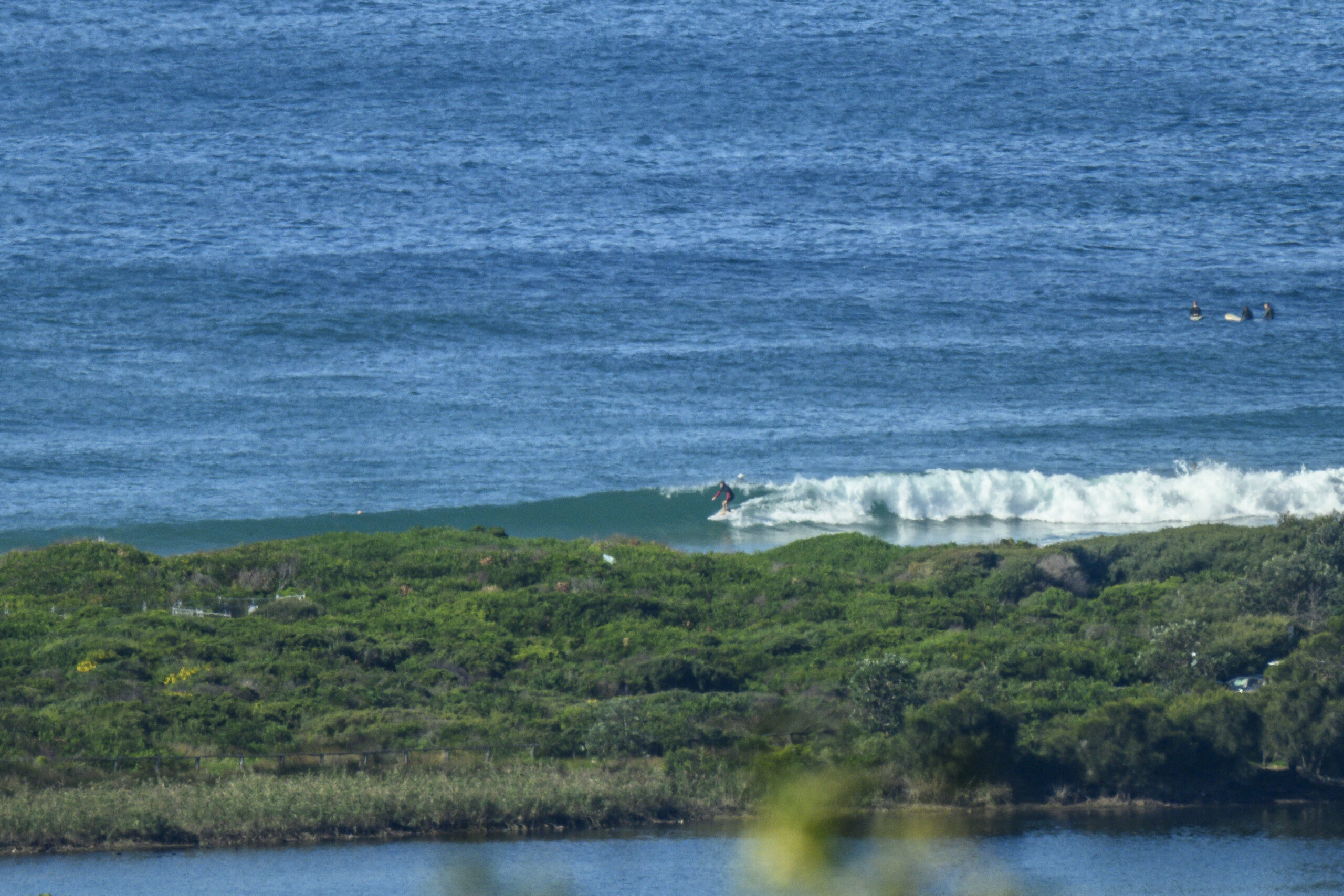
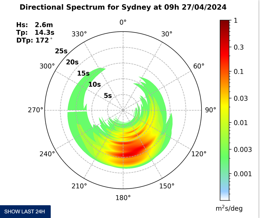
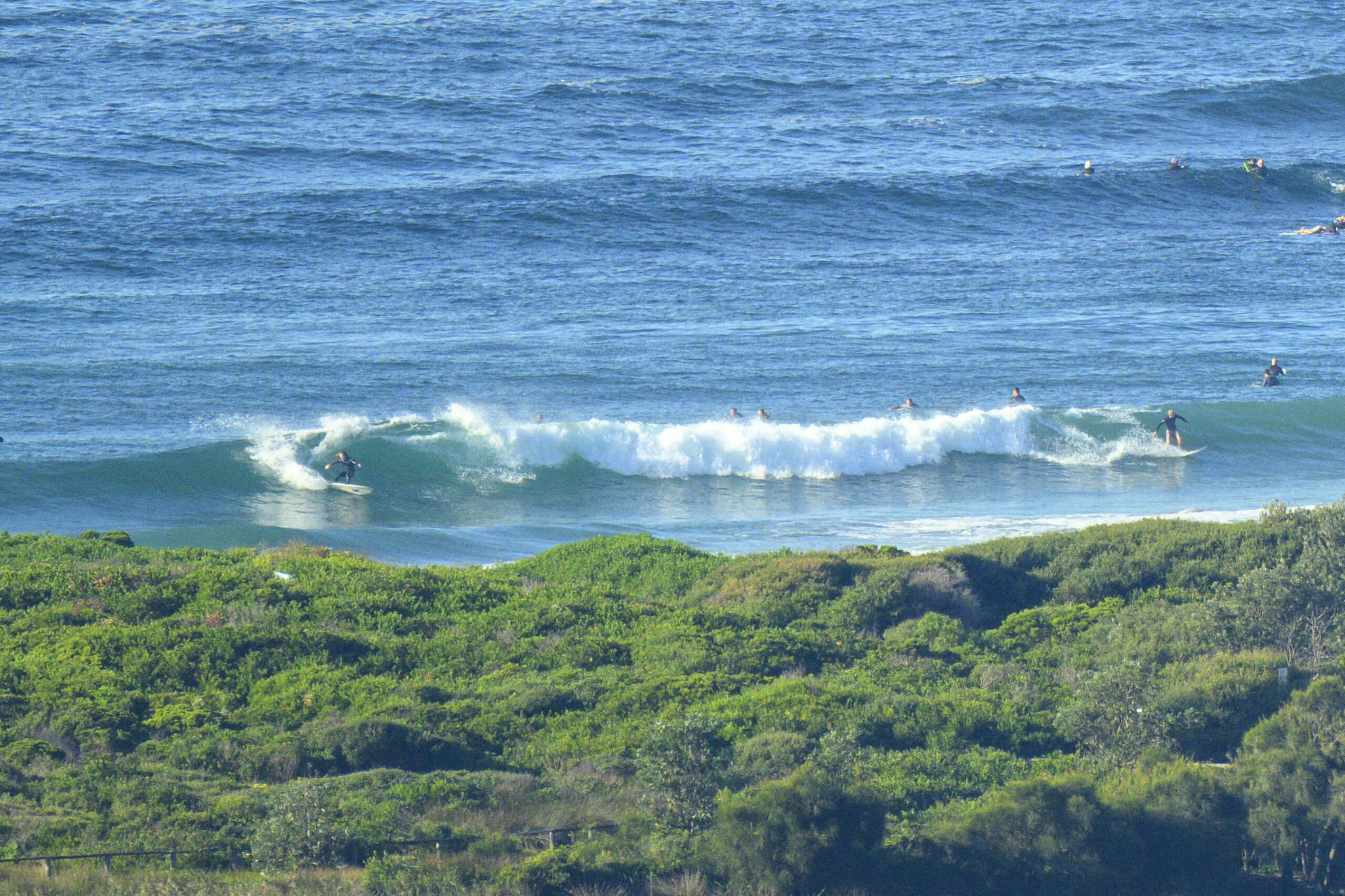
The Bureau’s posted a dangerous surf warning for today and tomorrow but as of 0800 there didn’t seem to be anything too dramatic going on at Dee Why. On the contrary, it seemed as though the lulls were long and the sets were only one or two waves. The MHL buoy off Sydney is showing that it’s straight south again and a touch over two metres on average. The key period setting is a juicy 11-12 sec and as a consequence the bigger set waves I saw were pushing into the head high range at Dee Why. I’d expect sets to be noticeably bigger at the south swell magnets.
Wind is set to be out of the SW this morning, but then going around to the south in the afternoon.
The forecast models are all showing a substantial spike in swell size coming through in the next 24 hours. At this stage it looks as though the pulse will be brief and will peak overnight (anyone for moonlight surfing?). The Bureau’s modelling shows the big stuff arriving just after dark, peaking not long after the day’s highest tide, and then fading back a little by first light on Wednesday. The downward trend is predicted to be pretty steep, but it should be solid all morning on the current reckoning.
Unfortunately, the wind setting isn’t playing nice. If the Bureau’s called it correctly, Wednesday will have light onshores in the morning going around to NE in the afternoon (hmmm…)
With luck the energy will last into Thursday but then if the models have it right, it seems we’re in for small (but not flat) conditions across the weekend.
Go well with your day!
Tides: H @0750 L @1340
Weather Situation
A strong high pressure system over western Victoria extends a ridge to the northwestern Tasman Sea.The high centre will move over the southwestern Tasman Sea by Wednesday and then it will move slowly towards New Zealand maintaining the ridge to the New South Wales north coast.
Forecast for Tuesday until midnight
Winds: South to southwesterly 5 to 10 knots becoming southerly 10 to 15 knots by early evening. Seas: Below 1 metre. Swell: Southerly about 2 metres. Large swells breaking dangerously close inshore.Forecast for Wednesday
Winds: South to southeasterly 5 to 10 knots tending easterly and light around midday then tending east to northeasterly up to 10 knots by early evening. Seas: Below 1 metre. Swell: Southerly 2 to 3 metres. Large swells breaking dangerously close inshore.Forecast for Thursday
Winds: North to northeasterly 10 to 15 knots. Seas: Below 1 metre. Swell: Southerly about 2 metres.


