Hello Friends,
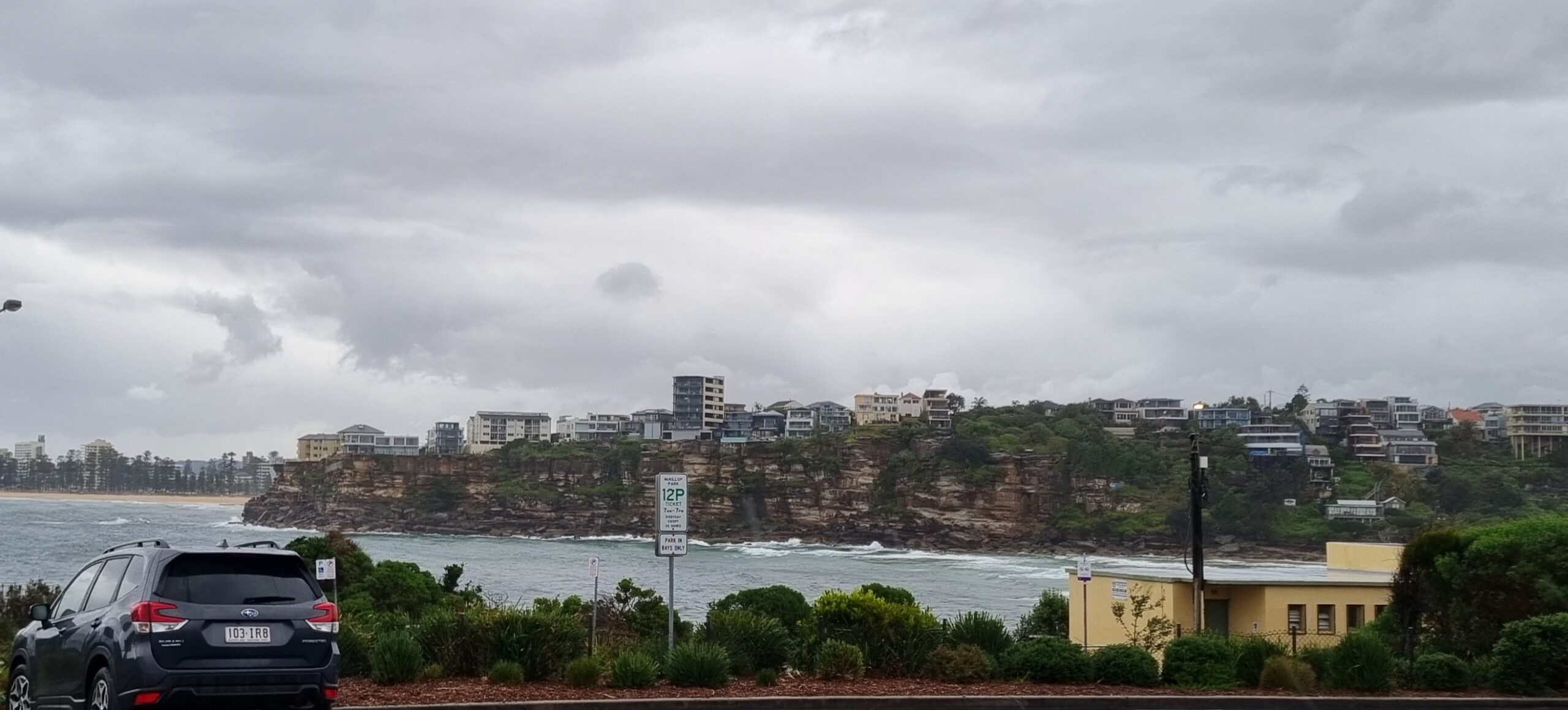
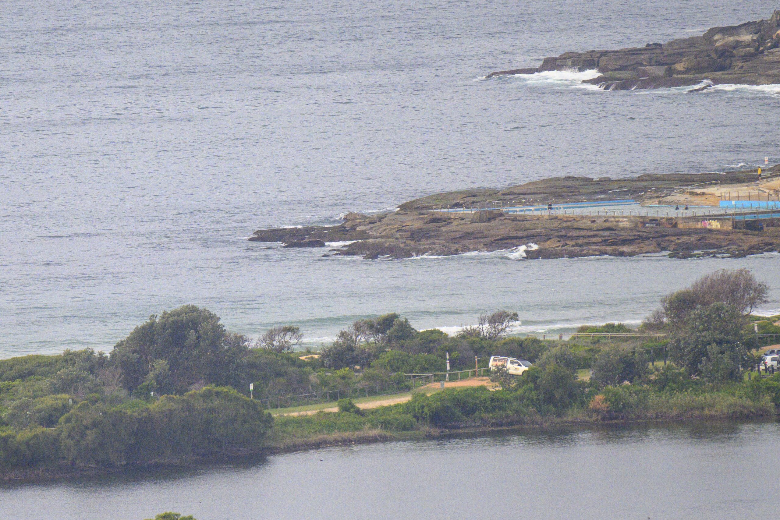
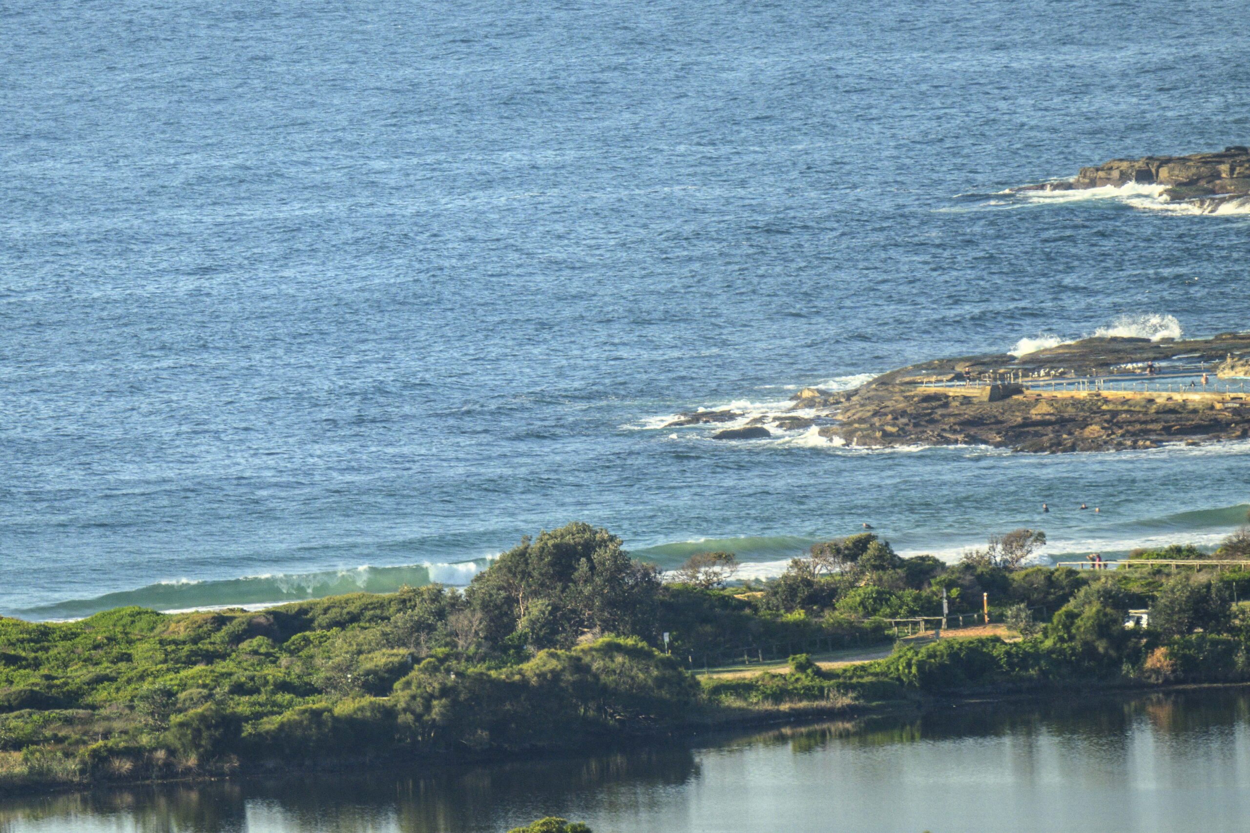
Sailing into the doldrums now. Only the tiniest waves lapping on the shore at Dee Why this morning. The catchable ones are struggling to make thigh high, so if you can’t get to the beach, you aren’t missing anything significant. Some of the swell forecast models are showing a slight uptick in energy levels for later this afternoon and tomorrow morning, but beyond that, it looks as though there won’t be a breath of swell for as far out as the aforesaid models project.
Oh well. We knew Huey would have to back off at some point and up to last weekend it’s been a magnificent winter surf season.
Go well with your day and keep on smilin’!
Weather Situation
A high pressure system over South Australia extends a ridge to NSW. A trough passing through Bass Strait this morning is bringing strong winds over the southern coast this morning. Winds will ease towards the end of the business week as the high approaches from the west.
Forecast for Thursday until midnight
Winds
West to southwesterly 15 to 25 knots becoming southwesterly 10 to 20 knots during the afternoon.
Seas
1 to 2 metres.
Swell
Southerly about 1 metre.
Friday 24 June
Winds
West to southwesterly 15 to 20 knots decreasing to 10 to 15 knots around dawn then tending west to northwesterly up to 10 knots around midday.
Seas
Below 1 metre.
Swell
Southerly 1 metre.
Saturday 25 June
Winds
Southeast to southwesterly 5 to 10 knots tending northerly up to 10 knots during the evening.
Seas
Below 1 metre.
Swell
Southerly 0.5 metres


