Hello Friends,
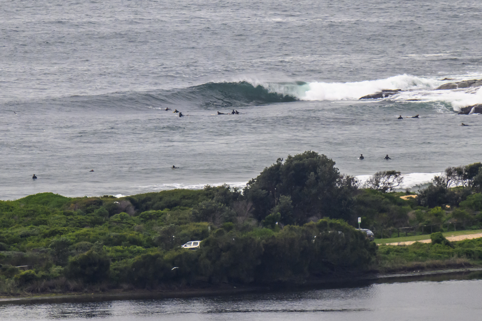
Messy and ESE this morning at Dee Why. Throw in about 1.5 metres of 7 second period S wind swell, and you have a day for a walk on the beach or some other non-surfing activity.
I’m not overly impressed with the look of the forecast models this morning. If those supercomputers over in North America have done their sums correctly, we’re probably looking down the barrel of a week at least of this dispiriting dribble. It’s a story of onshores and short period, mainly south wind swell.
Grasping at straws maybe, but the WAMs are showing a massive system coming across the southern ocean and reaching Tassie around Monday. This morning’s run of the data shows the energy powering eastward rather than up into our swell window. Still, these systems do sometimes defy early predictions… it’s a long shot anyway…
Have yourself a great Thursday one and all.

Weather Situation
A high pressure system over the eastern Bight extends a ridge towards the Coral Sea. It will move eastwards today, maintaining a ridge to the north coast. A trough will move over South Australia following this high. A cold front within the trough will reach the far west of NSW late Friday. The front will cross western NSW during Saturday and the southerly change will move along the coast from late Saturday and during Sunday.
Forecast for Thursday until midnight
- Winds
- East to southeasterly 5 to 10 knots tending east to northeasterly 10 to 15 knots later in the evening. Inshore sea breezes.
- Seas
- Below 1 metre.
- Swell
- Southerly 1 metre.
Friday 14 October
- Winds
- Northeasterly 10 to 15 knots increasing to 15 to 20 knots around dawn.
- Seas
- Below 1 metre increasing to 1 to 1.5 metres during the morning.
- Swell
- Southeasterly 1 metre tending easterly 1.5 metres late in the evening.
Saturday 15 October
- Winds
-
Northerly 5 to 15 knots.
- Seas
-
Below 1 metre.
- Swell
-
Northeasterly about 1.5 metres.


