Hello Friends,
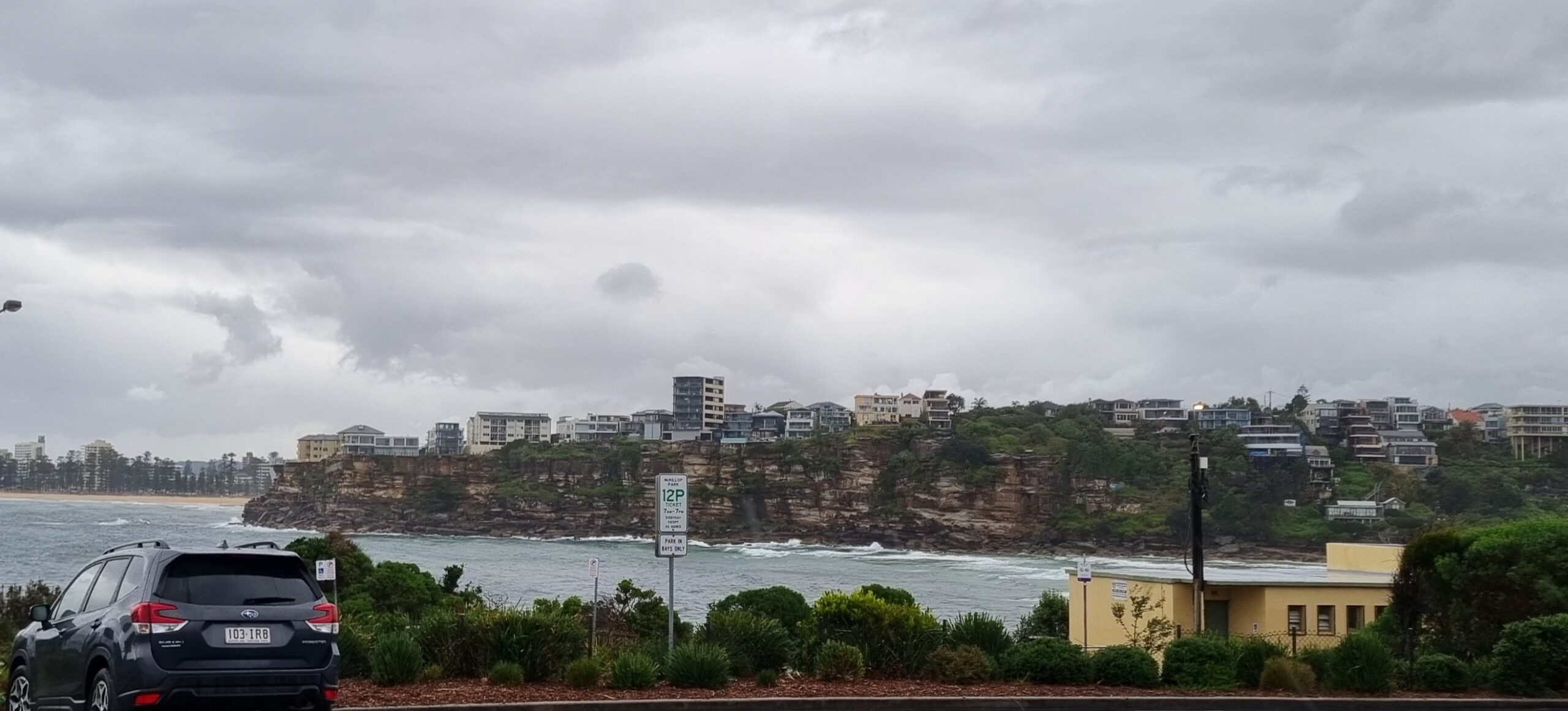
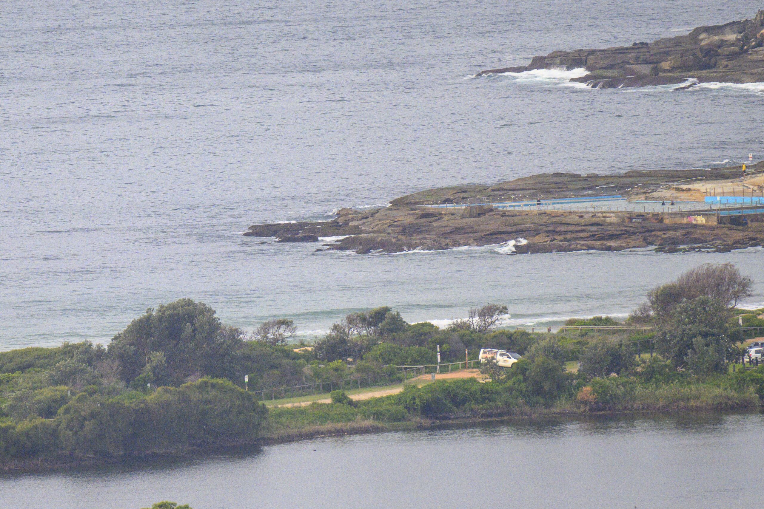
The best surf news this morning is that our summer water temps appear to be filling in. The offshore buoy data shows about a metre of 8 second east wind swell and a water temp of 21. Our inshore temps are not always the same as out at sea, so your mileage may vary.
This morning’s batch of WAM interpretations shows a consensus view of continued flat to barely surfable conditions into the weekend and marginal at best for next week.
Hang in there everybody, it’ll be back one day…
Keep on smilin’!
Weather Situation
A slow-moving high pressure system over the Tasman Sea extends a ridge to the New South Wales north coast, while a broad trough of low pressure is approaching the state’s west. Between these two systems, warm northerly winds are moving over the coast. The trough will reach western New South Wales this evening as it links with a cold front passing to the south, and is expected to bring a gusty southerly change to the southern and central coasts during Thursday before weakening over the north. By Saturday a new high is forecast to be above the Tasman Sea, bringing a return to generally northerly winds along the New South Wales coast.
Forecast for Wednesday until midnight
Winds
Variable around 5 knots inshore at first, otherwise north to northwesterly 5 to 15 knots becoming northerly 15 to 20 knots in the afternoon and evening.
Seas
Below 1 metre.
Swell
Northeasterly 0.5 metres.
Weather
Isolated thunderstorms this afternoon and evening.
Thursday 10 November
Winds
North to northwesterly 10 to 20 knots tending southwesterly around midday.
Seas
Up to 1.5 metres.
Swell
Northeasterly about 1.5 metres.
Weather
The chance of thunderstorms from the late morning until late afternoon.
Friday 11 November
Winds
East to southeasterly 10 to 15 knots.
Seas
Below 1 metre.
Swell
Easterly about 1 metre.


