Hello Friends,
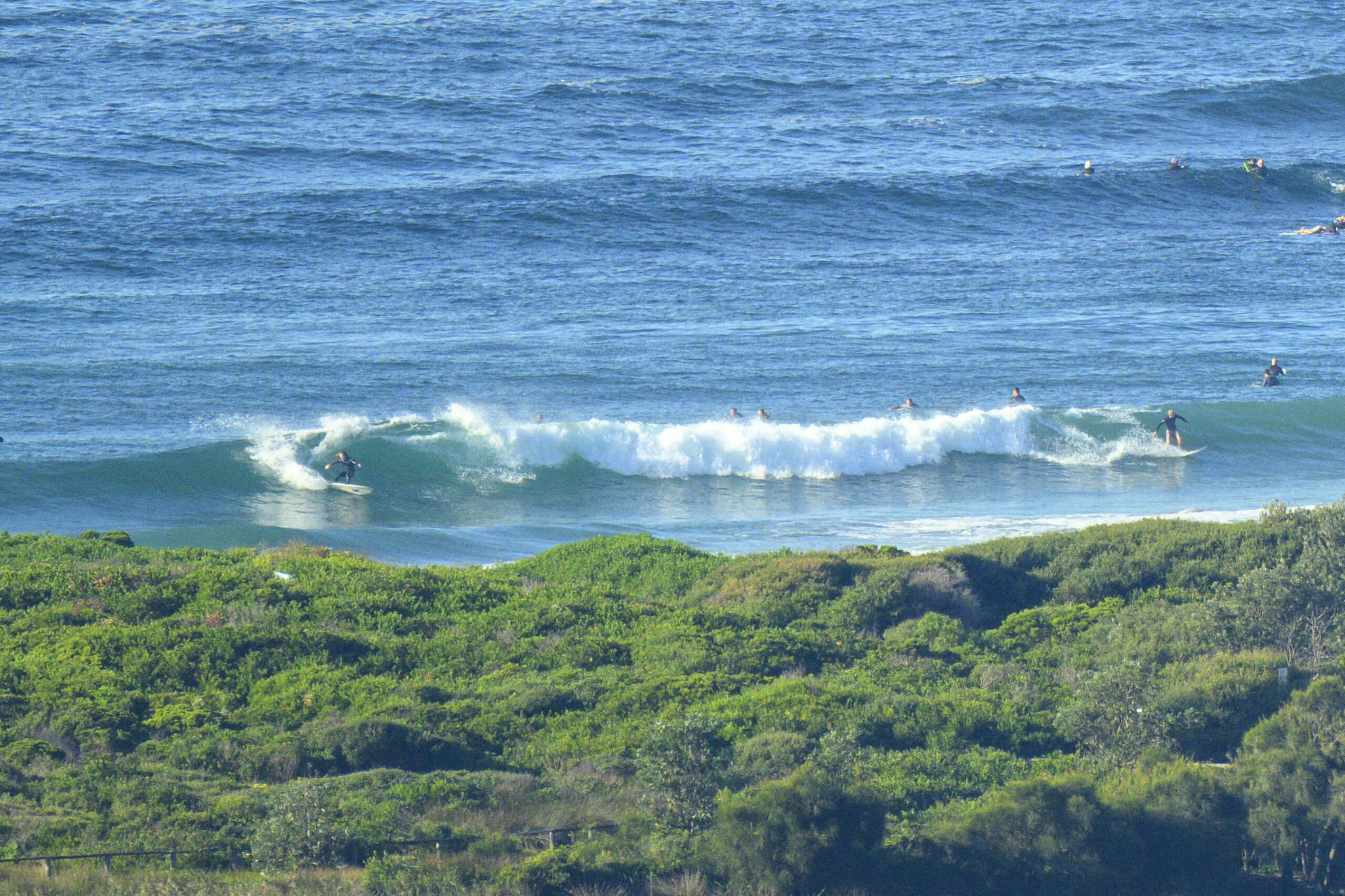
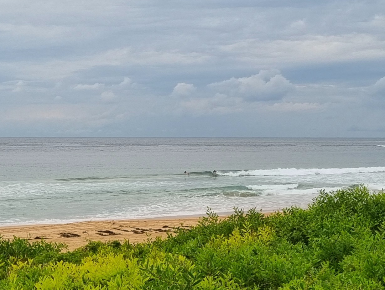
If you can get to your favourite south swell spot this morning, the go at once. Swell is close to the three metre mark at sea with a punchy 10-11 second period. Set wave faces were 1.5-2x overhead at Dee Why before 0700.
Swell has likely peaked, but it should be solid right through the day. In fact, we should have reasonable energy levels across the next 3 days or so.
The wind will be out of the SE before long and we’re racing toward a high tide at a little after 1100.
Get out there if ya can!
Weather Situation
A high south of the Bight extends a ridge towards New South Wales. The high will slowly drift east during the next day or two, with a ridge strengthening along the Australian east coast and north to northeasterly winds developing along the coast over the weekend. A trough approaching from the west is expected to reach the NSW coast late Monday/Tuesday, when a southerly change will extend northwards along the southern half of the coast.
Forecast for Thursday until midnight
Winds
South to southeasterly 10 to 15 knots..
Seas
Below 1 metre.
Swell
Southerly 2 to 3 metres.
Friday 16 December
Winds
South to southeasterly 10 to 15 knots turning easterly 5 to 10 knots during the evening. Inshore sea breezes.
Seas
Below 1 metre.
Swell
Southeasterly about 2 metres.
Saturday 17 December
Winds
Southeast to northeasterly about 10 knots.
Seas
Below 1 metre.
Swell
Southeasterly 1.5 metres.


