Hello Friends,
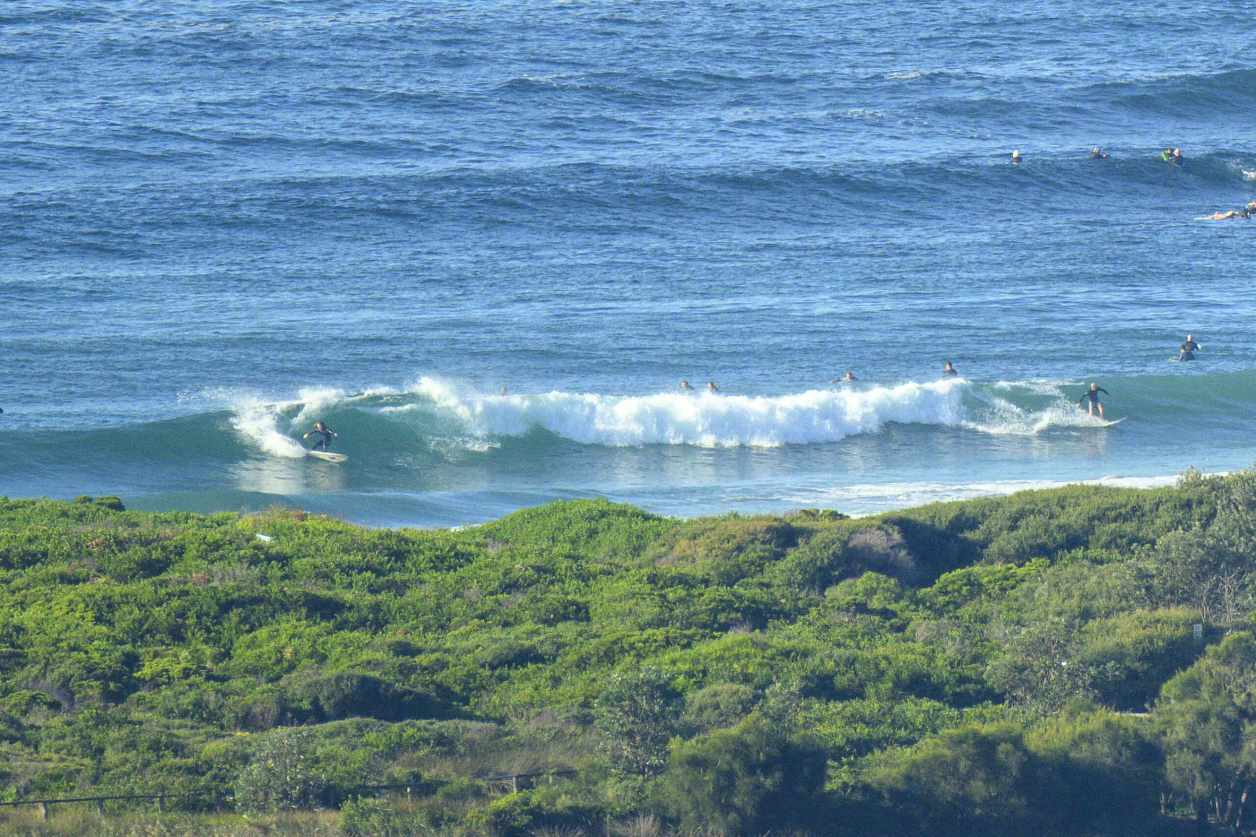
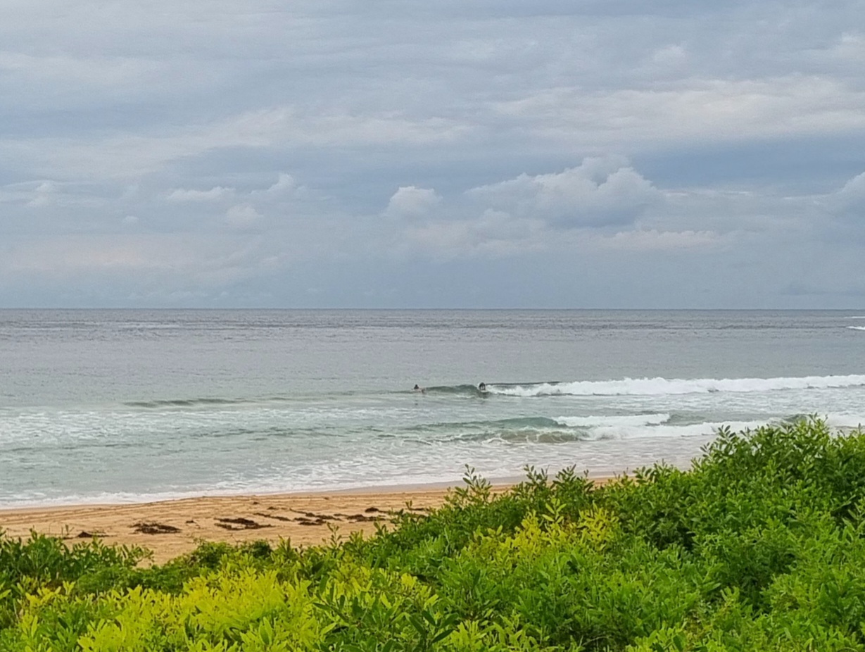
No joy this morning for those of us who’d like a wave. There’s not much of anything showing on the offshore buoy where it’s a metre from the NE at 5 seconds on average. Nothing more than chop. And with westerlies forecast all day, there is no prospect of an improvement.
What’s worse is the models’ generally gloomy outlook for the next week. Whilst there’s plenty of energy in the southern ocean, the forecast has it all pushing SW’ly as it goes past Tasmania and not angling up into our swell window.
Oh well. Maybe head down to western Vic…
Have a great day anyway!
TIDES: L @0645, H @1320
Weather Situation
A low pressure trough and associated cold front are moving from eastern New South Wales to the Tasman Sea this morning. A deep low near Tasmania will continue to drive a vigorous westerly airstream across the southern and central New South Wales coast today, while a high over central Australia extends a ridge across the state’s north. Later today the low will move away to the southeast, allowing the ridge to strengthen over the region during the weekend and bringing a return to lighter wind conditions.
Forecast for Friday until midnight
Winds
Westerly 20 to 30 knots decreasing to 15 to 25 knots in the afternoon.
Seas
Up to 3 metres decreasing to 2 metres around midday.
Swell
Northeasterly about 1.5 metres.
Saturday 25 August
Winds
Westerly 15 to 20 knots decreasing to variable about 10 knots in the early afternoon then becoming westerly 15 to 20 knots in the late afternoon.
Seas
Up to 1.5 metres.
Swell
Easterly about 1 metre tending southerly 1 metre during the evening.
Sunday 26 August
Winds
Westerly 15 to 20 knots decreasing to variable about 10 knots during the day.
Seas
1 to 1.5 metres decreasing to below 1 metre during the afternoon.
Swell
Southeasterly about 1 metre.


