

Hello Friends,
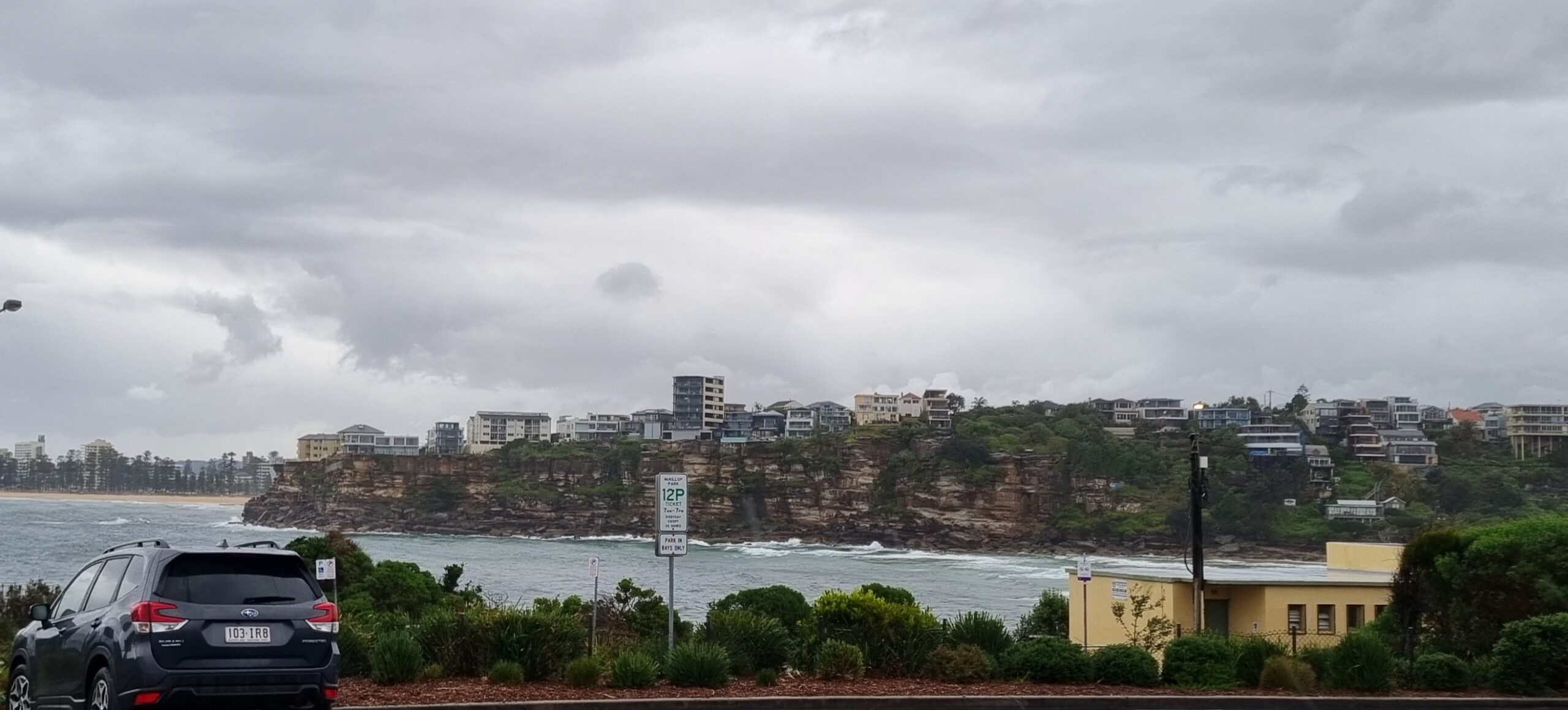
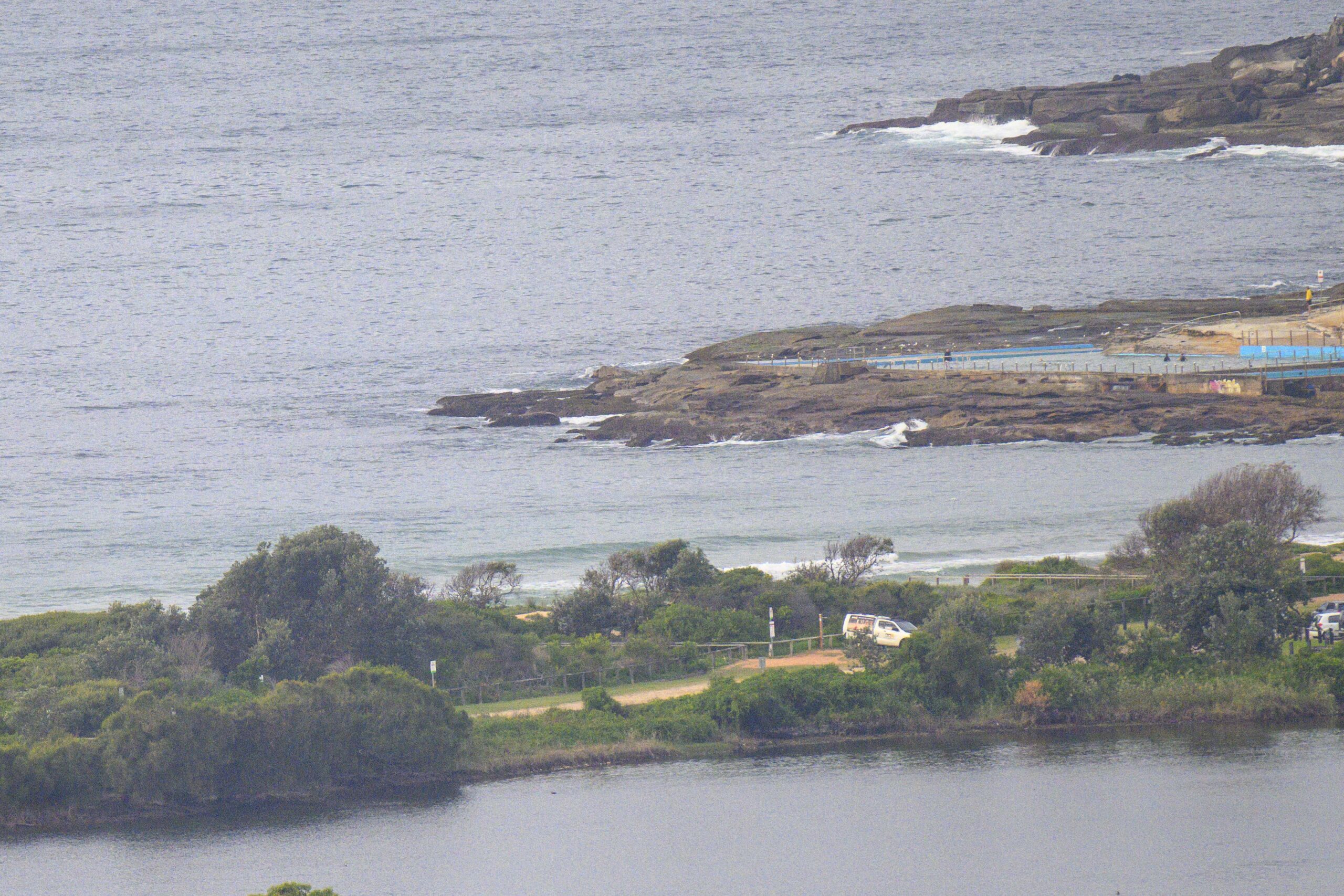
Get thee to a stretch of sand facing NE and you just may find the odd waist high set. Dee Why was pretty much missing out this morning but around the corner there were little knee to waist plus things to be found all along the beach from south Narrabeen to Northy. There’s only about a metre of NE wind swell on an average period of 7 seconds, but every now and then a 9 second period set rolls in.
The swell models show things improving tomorrow and Monday as the action switches to south swell spots for around 24-36 hours. Then it seems as though we’re back to pretty quiet. However, for the first time in yonks, the longest range modelling is showing the possibility of a solid, long period south pulse toward next weekend. That’d be a fine thing!
Have yourself a fun Saturday everybody!
Weather Situation
A cold front will bring west to southwesterly change to New South Wales coast today. Behind the front a high pressure system will move towards the Bight on Sunday extending a ridge across the Tasman Sea.
Forecast for Saturday until midnight
Winds
Northwesterly 10 to 15 knots turning southwesterly 20 to 30 knots in the afternoon.
Seas
Below 1 metre increasing to 1 to 1.5 metres during the afternoon then increasing to 2 to 3 metres by early evening.
Swell
Northeasterly about 2 metres.
Weather
The chance of thunderstorms this morning.
Sunday 30 September
Winds
West to southwesterly 15 to 25 knots decreasing to about 10 knots in the middle of the day then tending southeasterly 10 to 15 knots in the early afternoon.
Seas
Up to 2 metres decreasing to below 1 metre around midday.
Swell
Northeasterly 1 metre tending southerly about 1.5 metres from the morning.
Monday 1 October
Winds
Variable about 10 knots becoming southeasterly 10 to 15 knots during the afternoon before tending southerly during the evening.
Seas
Below 1 metre.
Swell
Southerly about 1.5 metres.


