Hello Friends,
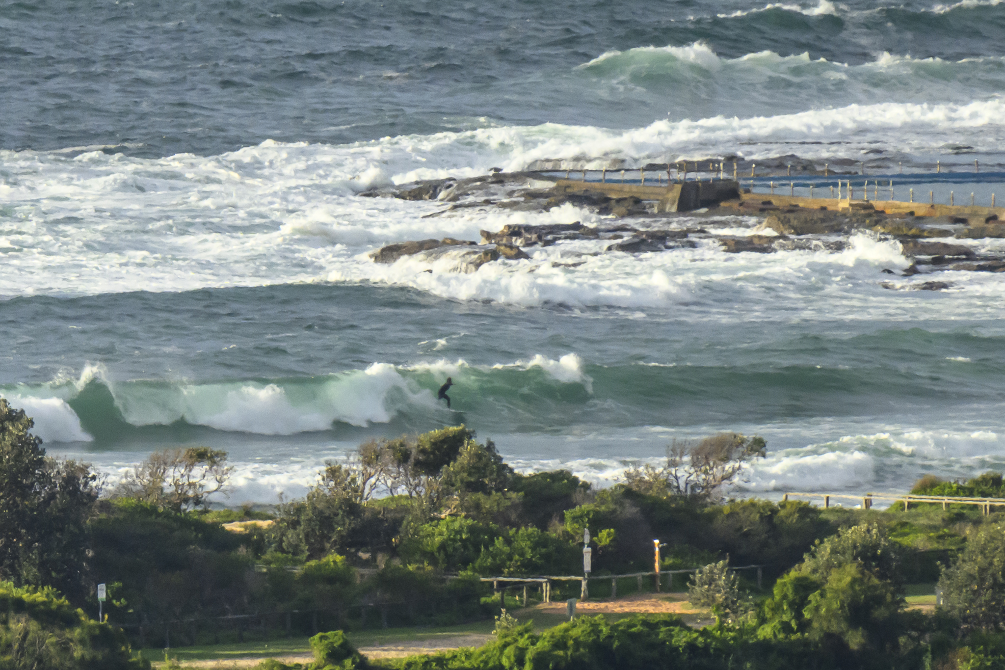
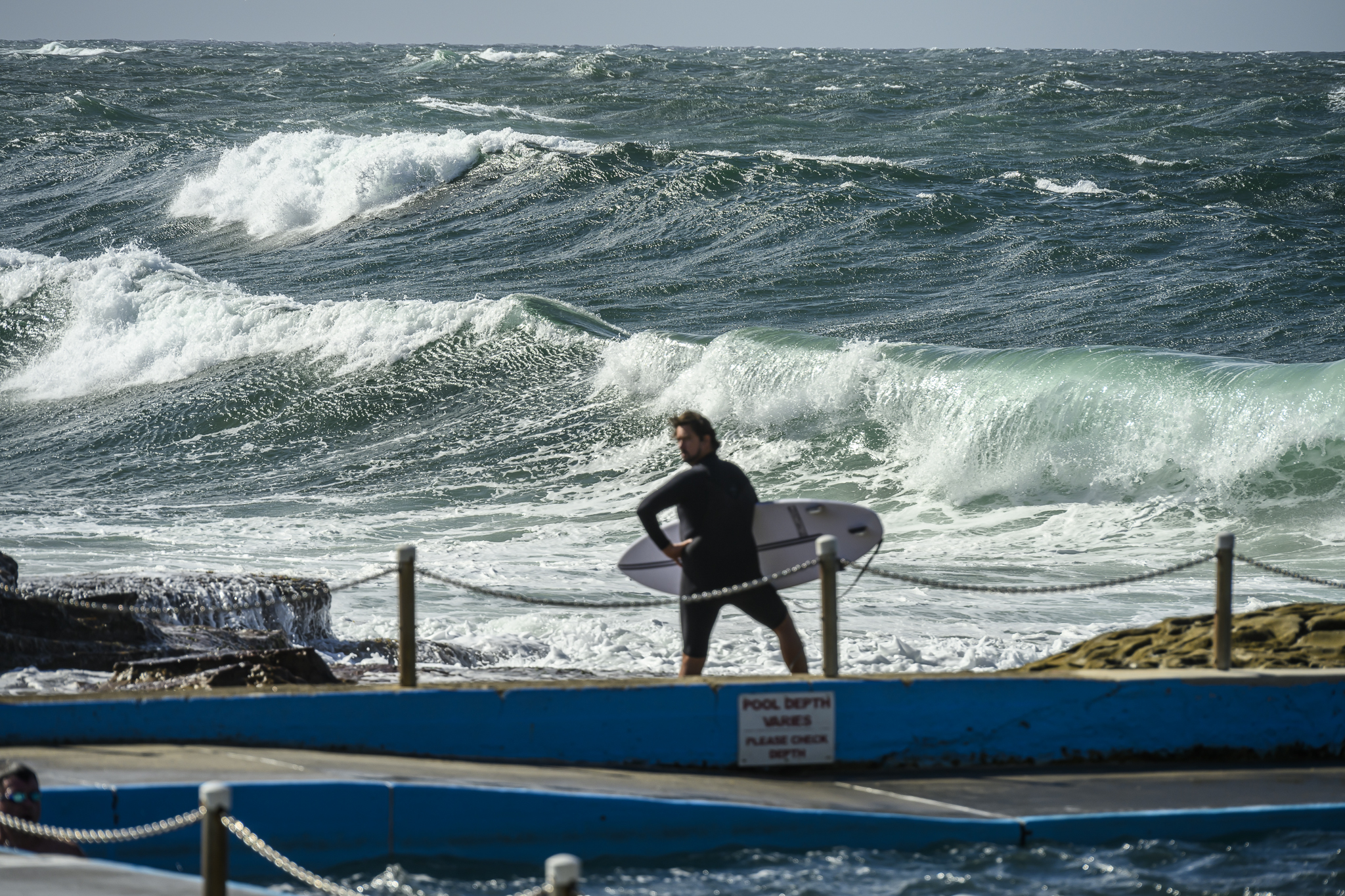
Swell has, as expected, faded away to pretty much nothing. The primary swell direction is out of the NE and it’s about a metre at sea. But the average period is just 7 seconds, so there’s just not much energy in the ocean right now.
Looking at the data from up and down the coast, I can’t really see any significant prospect of an improvement for today in Sydney.
And the outlook? Well, have a read of the Goat’s latest forecast here.
Enjoy your Friday one and all!
Tides: H @1045 L @1730
Weather Situation
A high over the Tasman Sea is weakening, allowing a broad trough of low pressure to move into New South Wales. A low developing within this trough will bring a short-lived southerly change to much of the coast later tonight or Saturday. A more vigorous cold front from the Southern Ocean is expected to affect the New South Wales coast later Sunday and Monday.
Forecast for Friday until midnight
Winds
Northerly 15 to 20 knots becoming north to northeasterly 10 to 15 knots in the evening.
Seas
Up to 1.5 metres.
Swell
Southerly about 1 metre.
Saturday 20 October
Winds
Southwesterly 15 to 20 knots turning southeasterly 10 to 15 knots during the day.
Seas
Below 1 metre increasing to 1 to 1.5 metres around dawn then decreasing to below 1 metre later in the evening.
Swell
Southeasterly 1 metre tending easterly late in the evening.
Sunday 21 October
Winds
Variable about 10 knots becoming north to northwesterly 15 to 20 knots during the afternoon then shifting south to southwesterly 15 to 25 knots during the evening.
Seas
Below 1 metre increasing up to 1.5 metres during the evening.
Swell
Southeasterly 1 metre.


